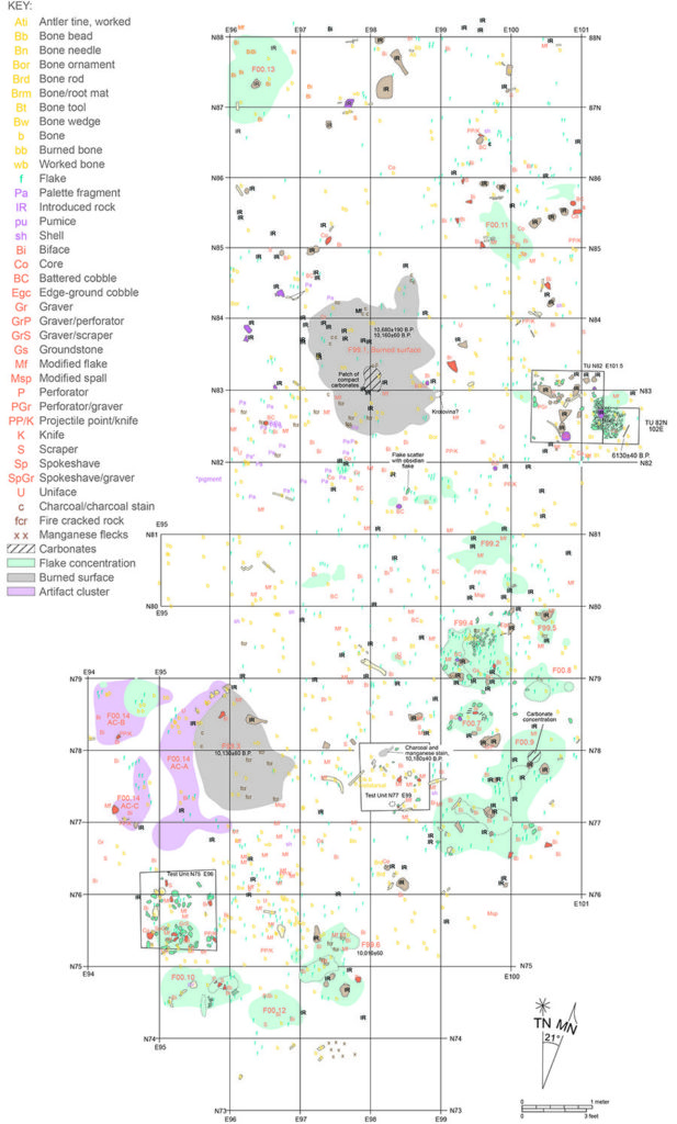
AHS is committed to using the latest technology for mapping cultural resources in the field. We use handheld units with integrated GIS and GPS technology, allowing us to provide sub-meter accuracy of mapped points.
AHS uses the latest version of Esri’s ArcGIS software to produce:
- Shapefiles of project features and cultural resources for field use
- Resource location maps
- Archaeological site sketch maps
- Georeferenced maps (project related CAD drawings, historic maps, etc.)
- Archaeological site probability modeling
- Project Geodatabases
- Viewshed analysis
- Various Spatial Analyses
- LiDAR analysis of project area


