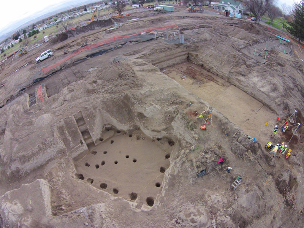
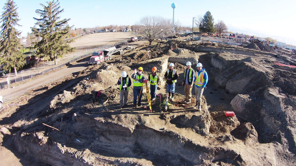
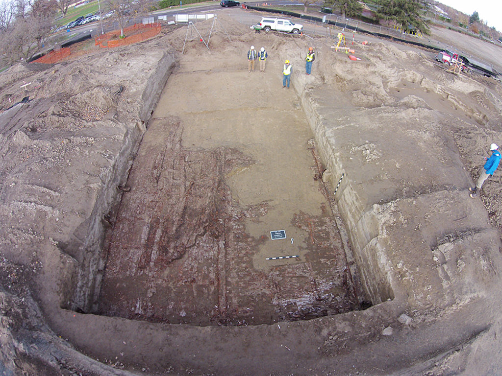
zAHS owns and operates a DJI Phantom III drone. This is used to create aerial images and 3D maps of project areas and cultural resources.
Archaeological and Historical Services
Eastern Washington University
zAHS owns and operates a DJI Phantom III drone. This is used to create aerial images and 3D maps of project areas and cultural resources.
Register to Vote


© 2026 INSIDE.EWU.EDU