| Scientific Name | Kochia scoparia (L.) Schrad. |
| Family | Amaranthaceae |
| Common Names | summer or mock cypress, red belvedere |
| Eastern Washington | Eurasia |
| Synonyms | |
| Conservation Status | |
| Notes |
Click on any image to enlarge it.
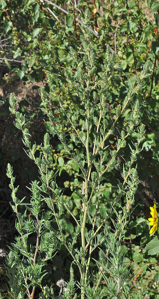
Upper Steptoe Cyn Rd at 46.48488N 117.18498W – Whitman Co., WA – 7/24/2010 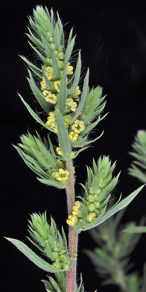
Upper Steptoe Cyn Rd at 46.48488N 117.18498W – Whitman Co., WA – 7/24/2010 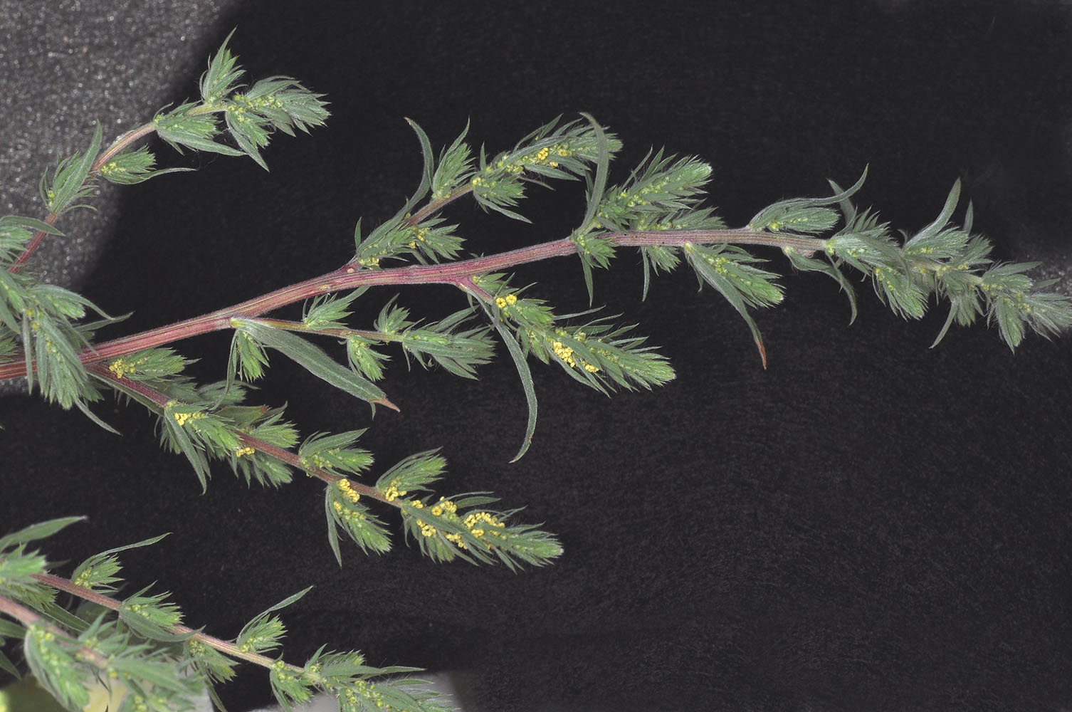
Upper Steptoe Cyn Rd at 46.48488N 117.18498W – Whitman Co., WA – 7/24/2010 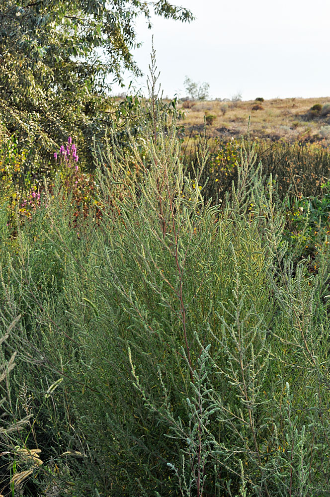
Along Sand Dunes Rd. ca. 1.75 mi. S of S. Frontage Rd. E.; S of w. edge of Moses Lake, WA; N 47.07403 W 119.33707; Grant Co.; 8/17/2012 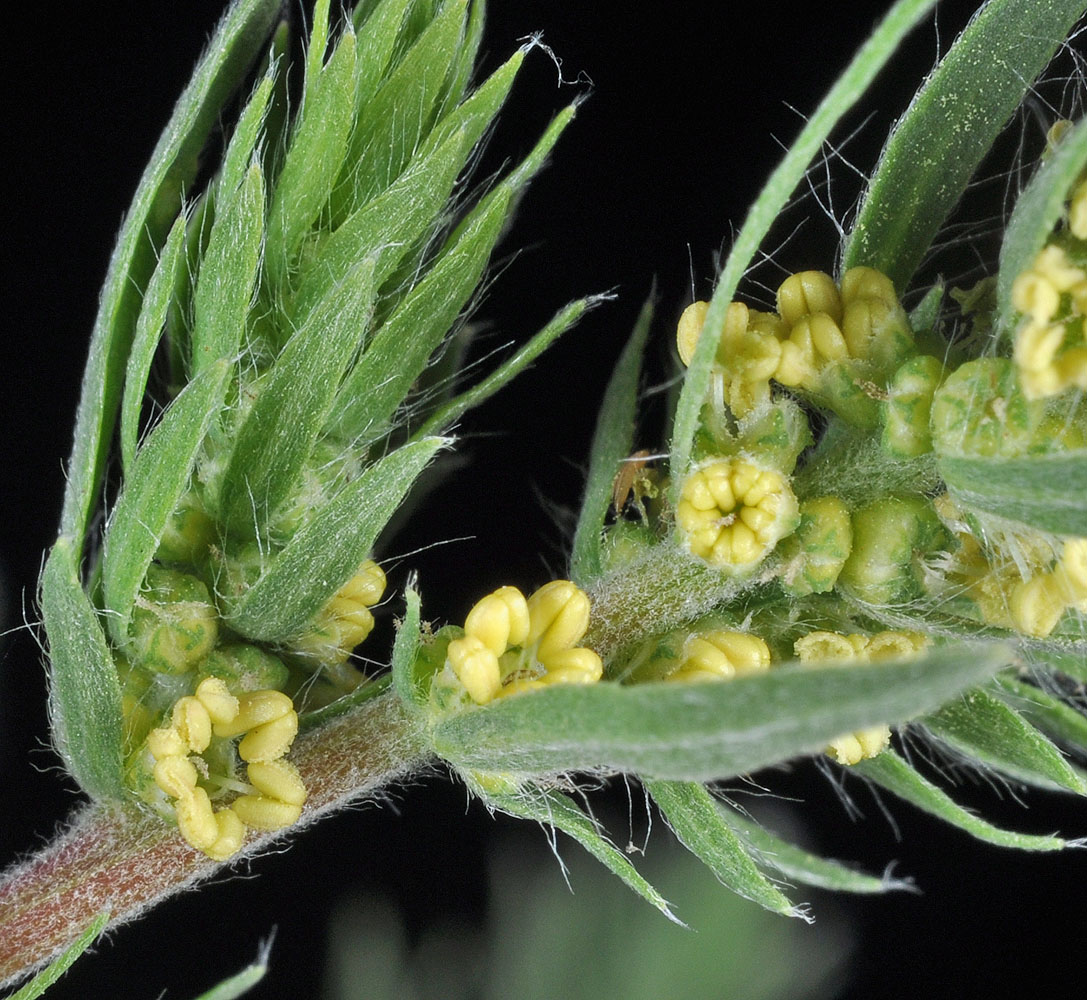
Upper Steptoe Cyn Rd at 46.48488N 117.18498W – Whitman Co., WA – 7/24/2010 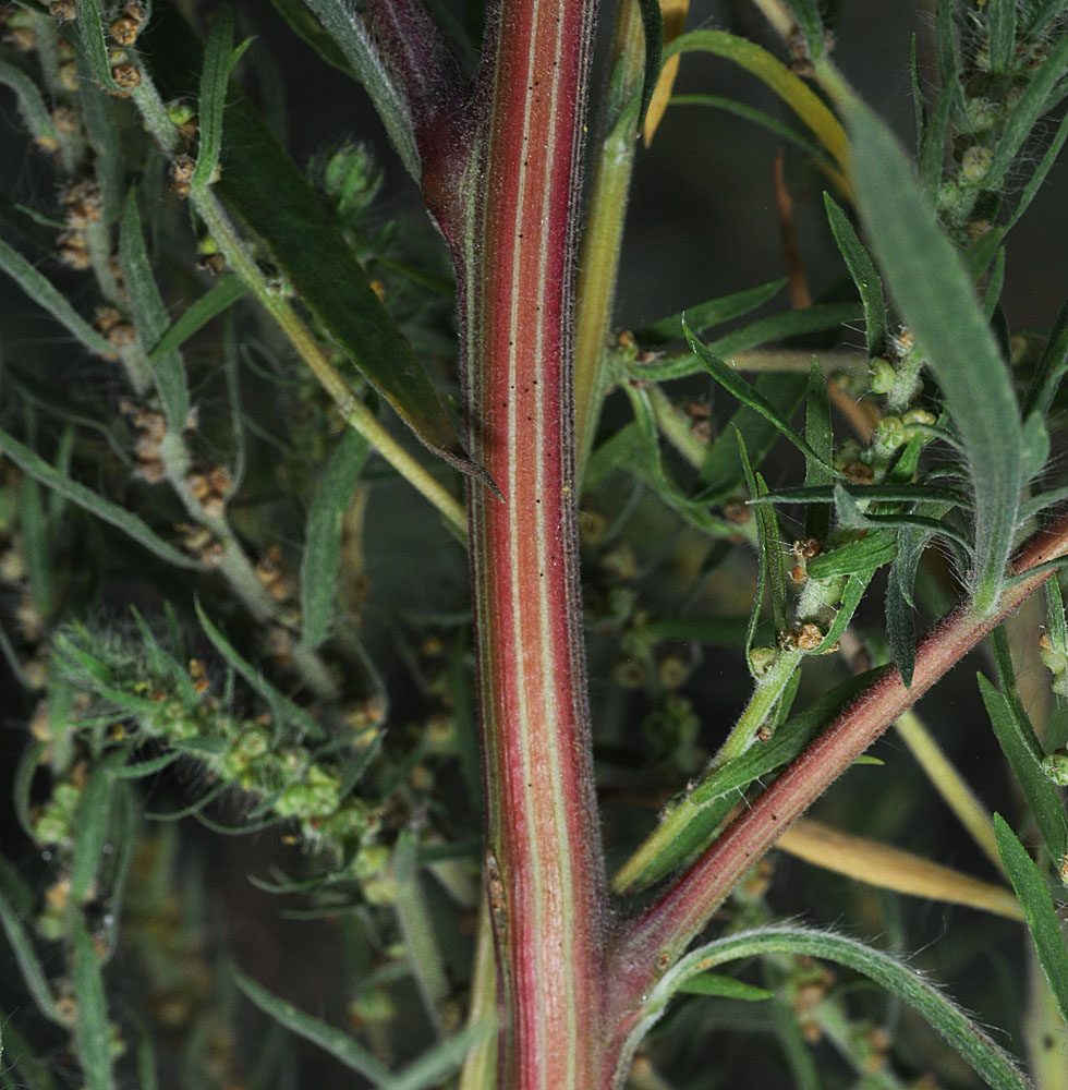
Along Sand Dunes Rd. ca. 1.75 mi. S of S. Frontage Rd. E.; S of w. edge of Moses Lake, WA; N 47.07403 W 119.33707; Grant Co.; 8/17/2012 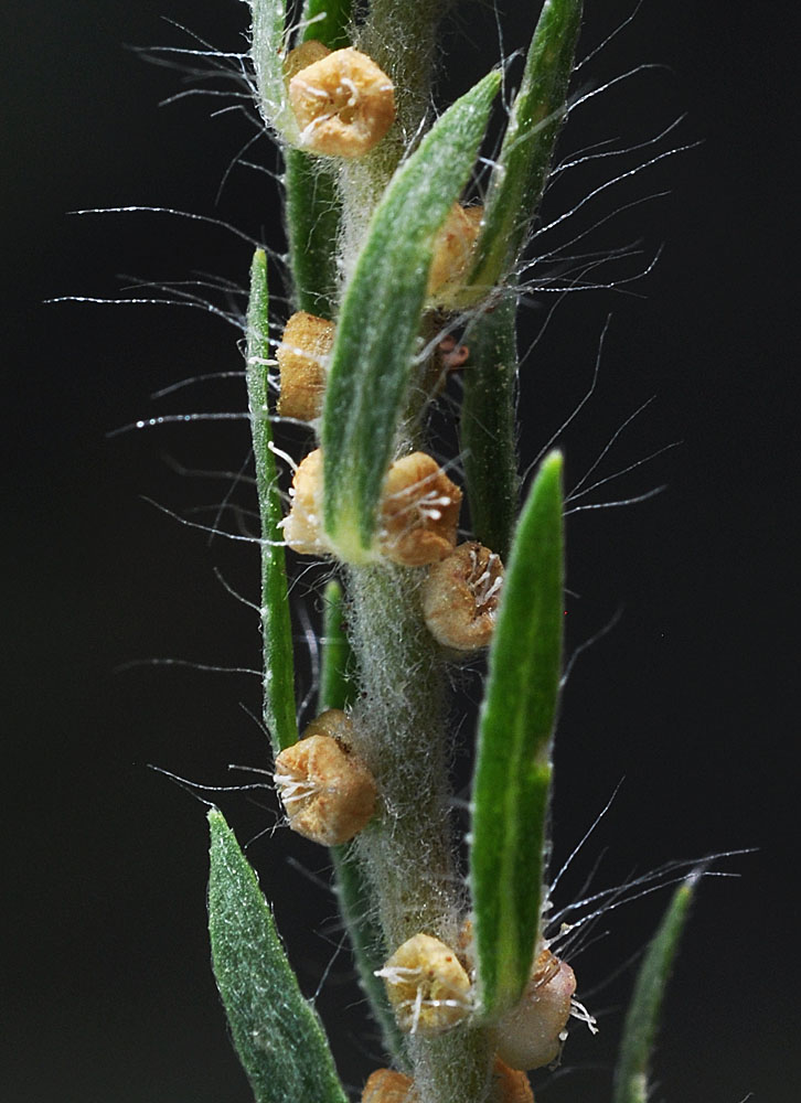
Along Sand Dunes Rd. ca. 1.75 mi. S of S. Frontage Rd. E.; S of w. edge of Moses Lake, WA; N 47.07403 W 119.33707; Grant Co.; 8/17/2012 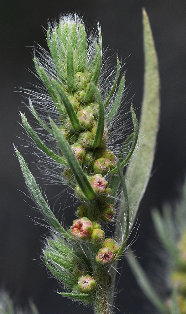
Along Sand Dunes Rd. ca. 1.75 mi. S of S. Frontage Rd. E.; S of w. edge of Moses Lake, WA; N 47.07403 W 119.33707; Grant Co.; 8/17/2012 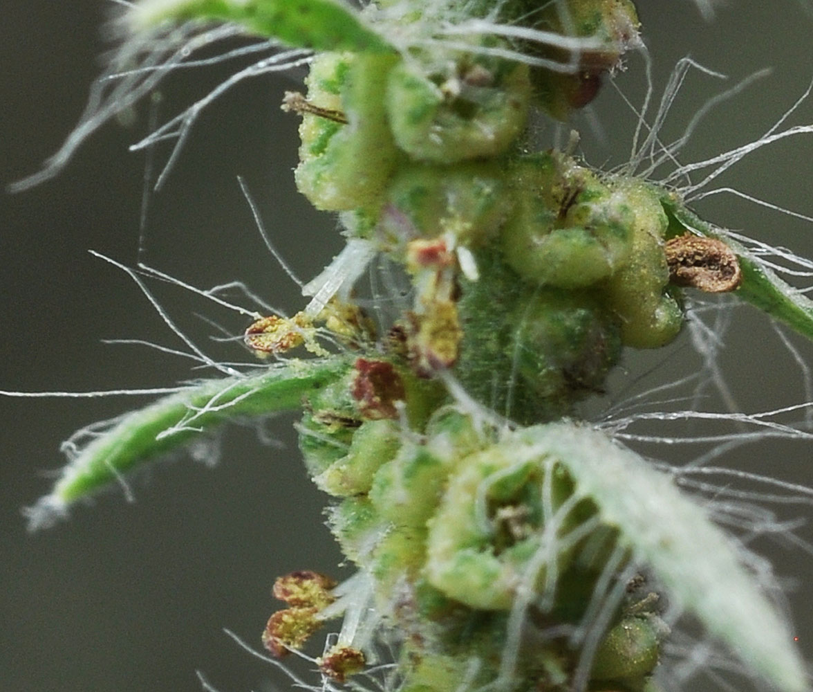
Along Sand Dunes Rd. ca. 1.75 mi. S of S. Frontage Rd. E.; S of w. edge of Moses Lake, WA; N 47.07403 W 119.33707; Grant Co.; 8/17/2012 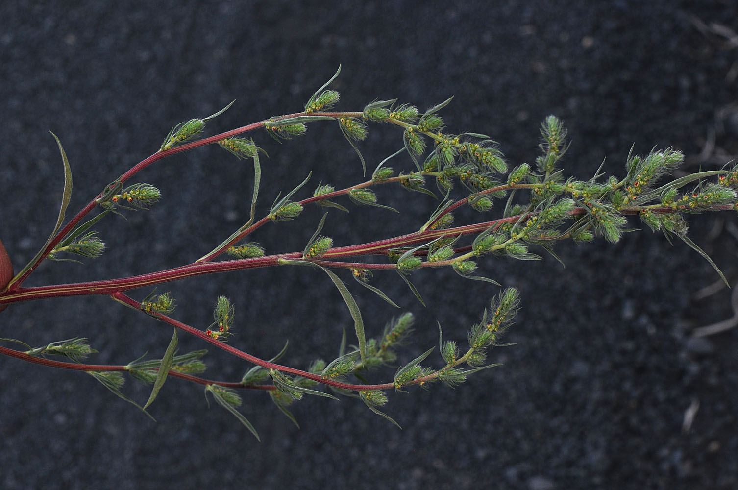
Along Sand Dunes Rd. ca. 1.75 mi. S of S. Frontage Rd. E.; S of w. edge of Moses Lake, WA; N 47.07403 W 119.33707; Grant Co.; 8/17/2012 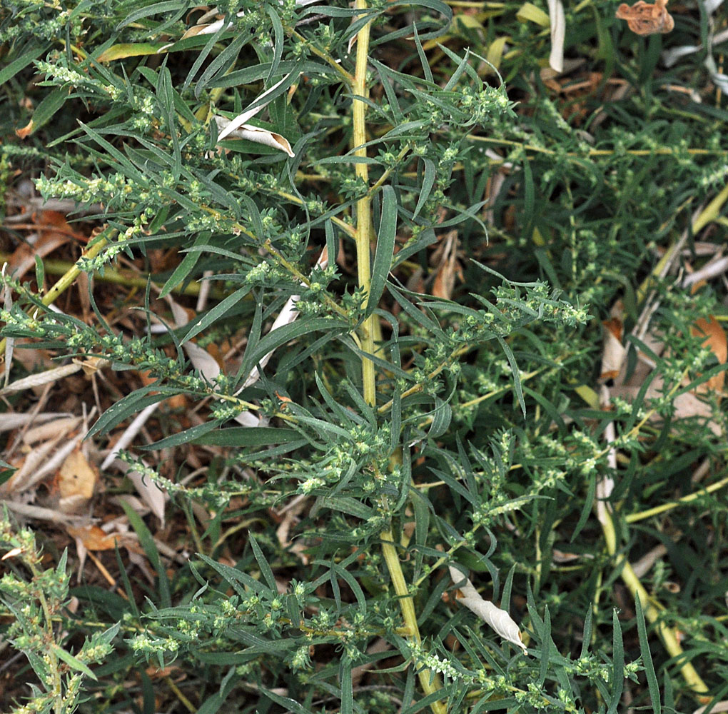
Along E side of Columbia R. ca. 6.2 mi NE of W. Richland, WA; near parking area abt 0.4 mi N of Rivershore Dr.; cN 46.35933 W 119.25846; Franklin Co.; 10/2/2015 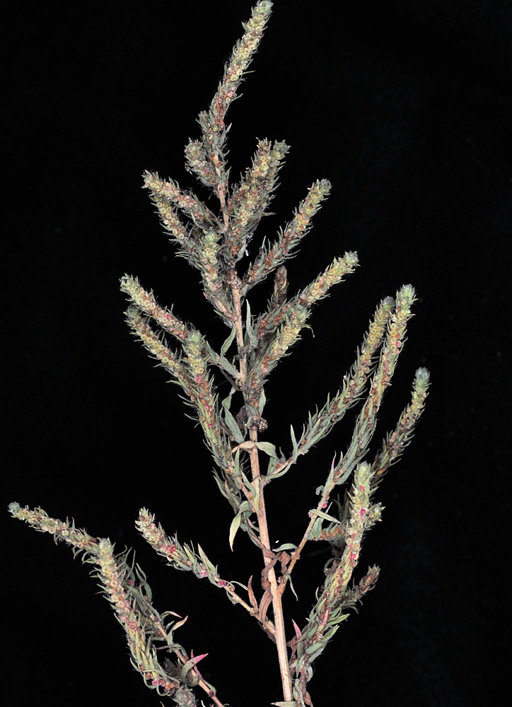
Along E side of Columbia R. ca. 6.2 mi NE of W. Richland, WA; near parking area abt 0.4 mi N of Rivershore Dr.; cN 46.35933 W 119.25846; Franklin Co.; 10/2/2015 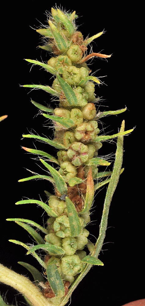
Along the Columbia River at Ringold; N of drainage canal near boat launch; N 46.50582 W 119.26142: Franklin Co.; 10/7/2015 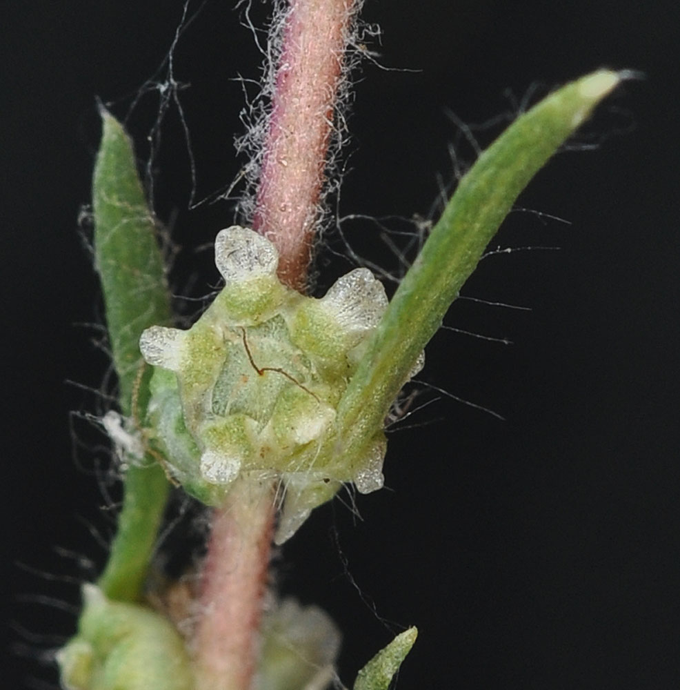
Along E side of Columbia R. ca. 6.2 mi NE of W. Richland, WA; near parking area abt 0.4 mi N of Rivershore Dr.; cN 46.35933 W 119.25846; Franklin Co.; 10/2/2015 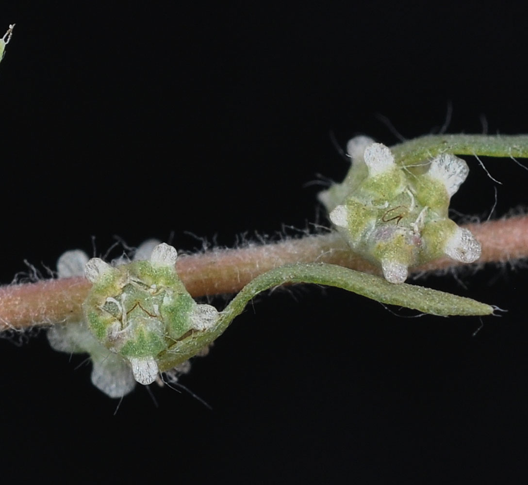
Along E side of Columbia R. ca. 6.2 mi NE of W. Richland, WA; near parking area abt 0.4 mi N of Rivershore Dr.; cN 46.35933 W 119.25846; Franklin Co.; 10/2/2015 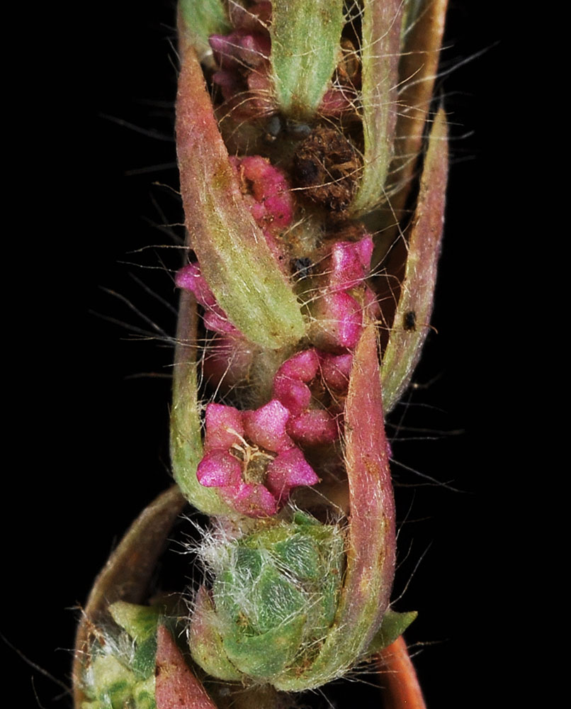
N. side of the Yakima R. along Hwy 241 ca. 1.4 mi N of Mabton, WA in parking area; N 46.23259 W 119.99973; Yakima Co.; 10/9/2015 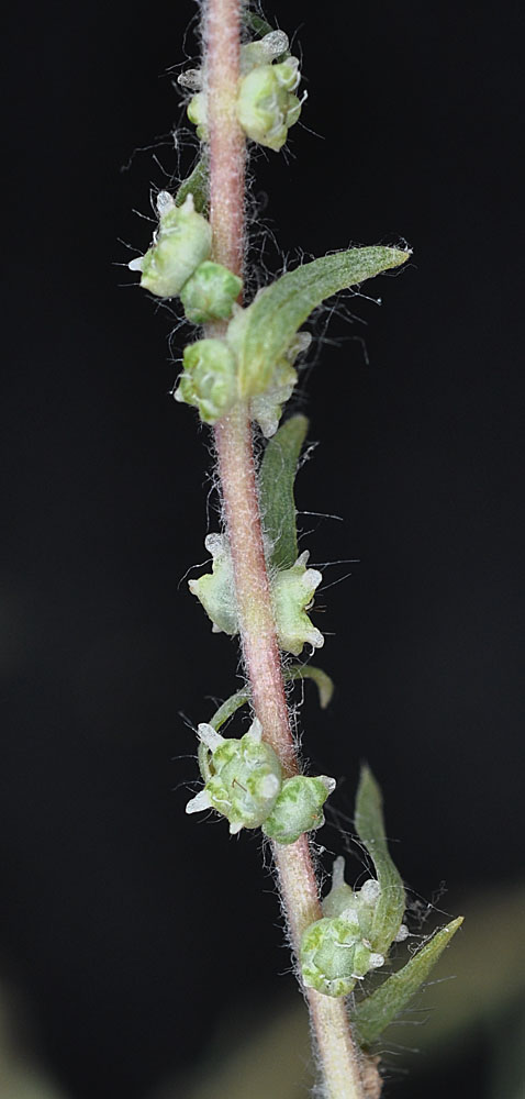
Along E side of Columbia R. ca. 6.2 mi NE of W. Richland, WA; near parking area abt 0.4 mi N of Rivershore Dr.; cN 46.35933 W 119.25846; Franklin Co.; 10/2/2015


