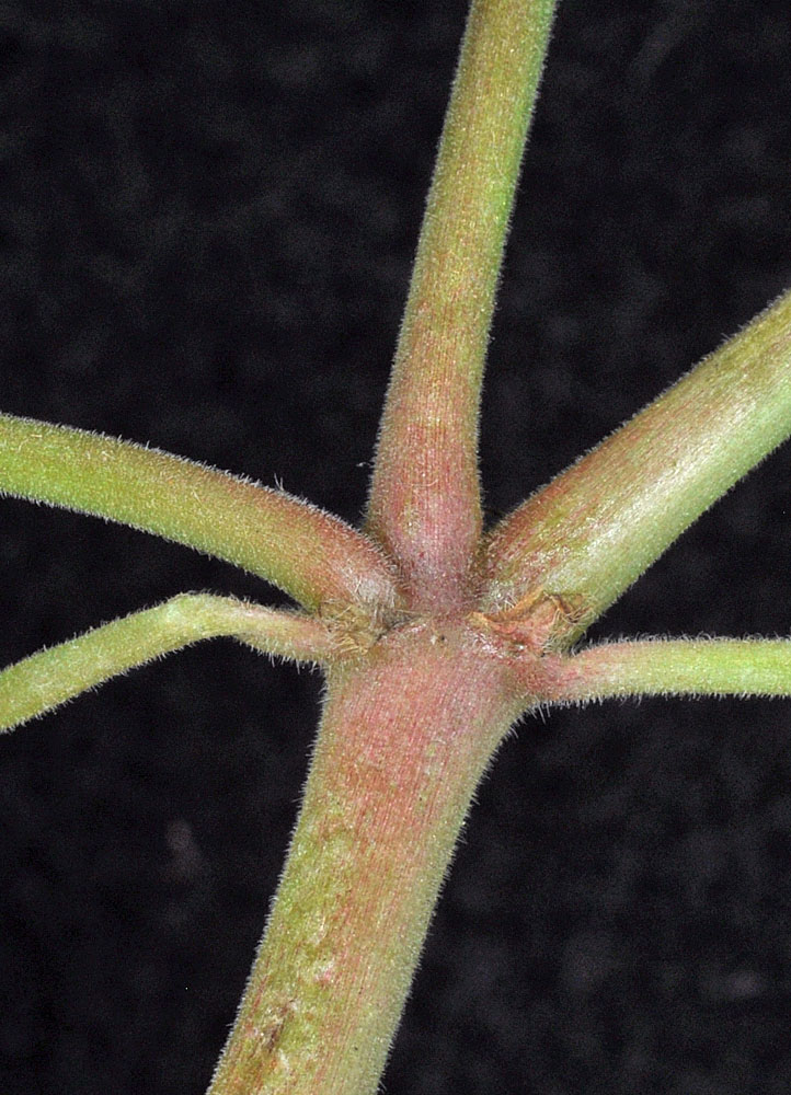
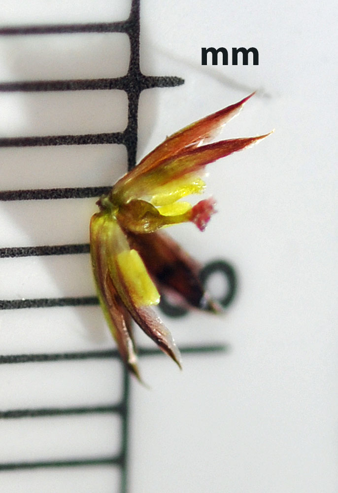
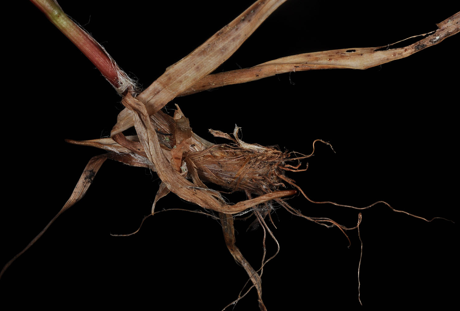
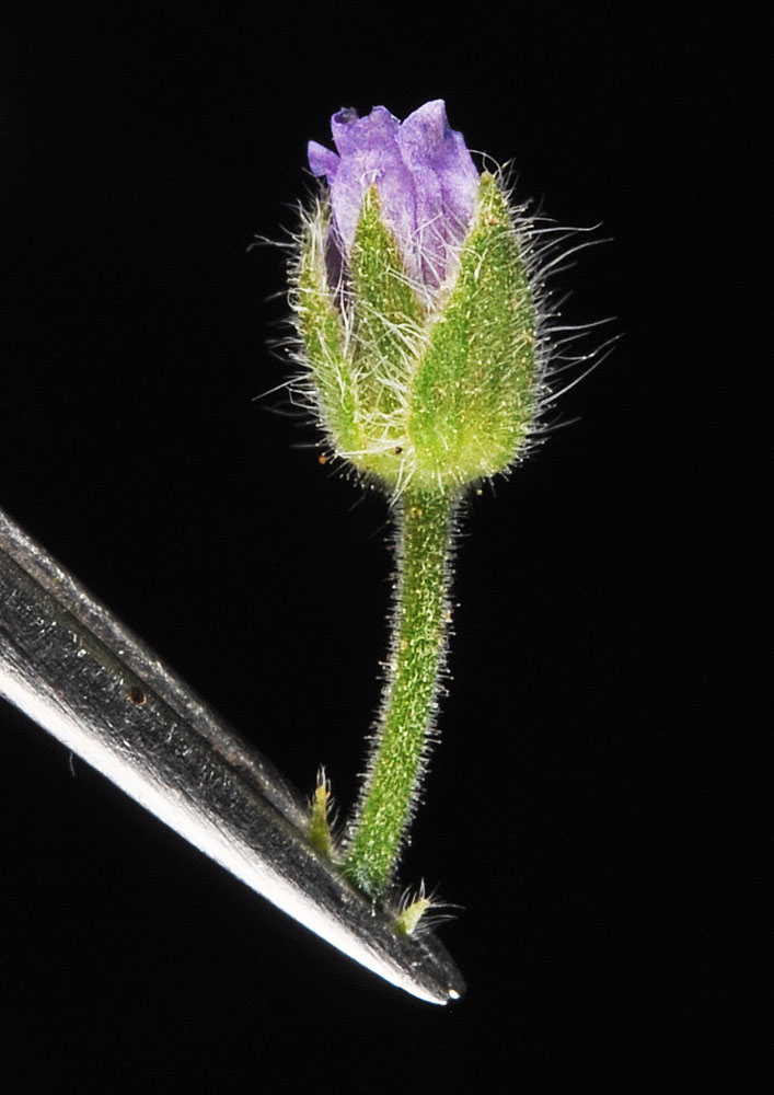
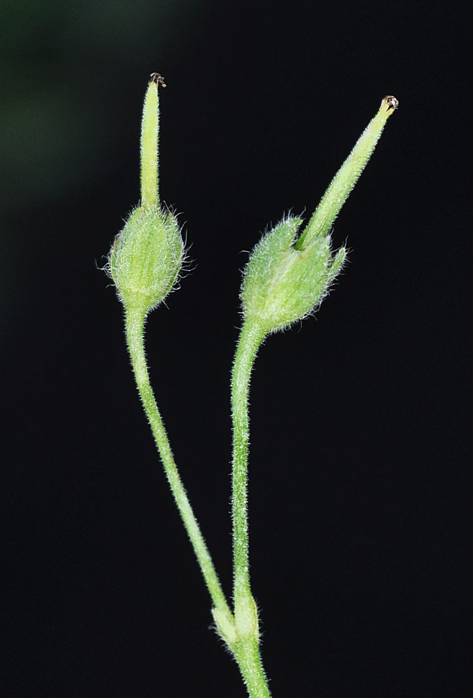
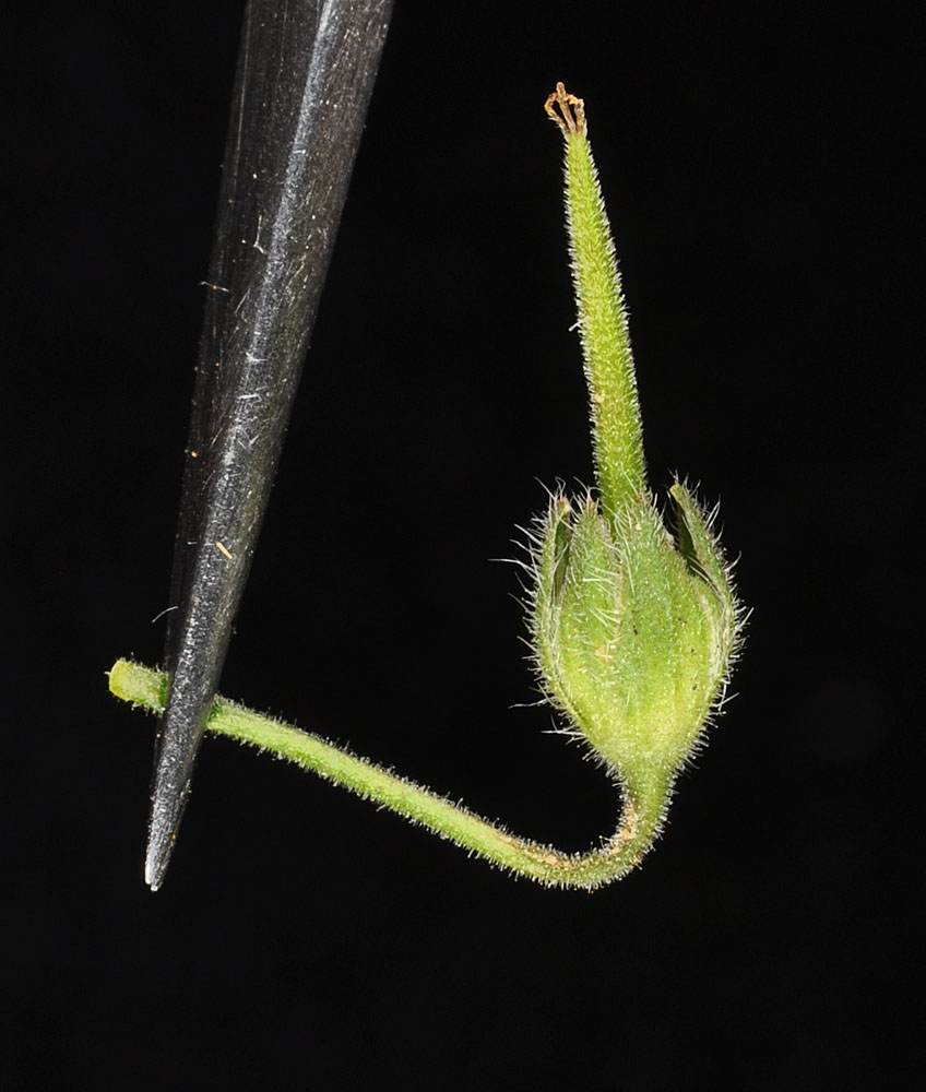
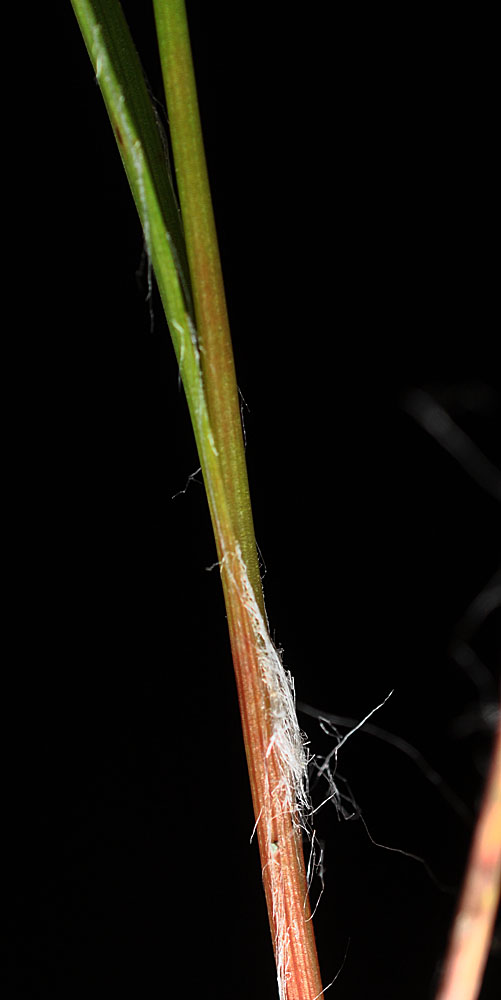
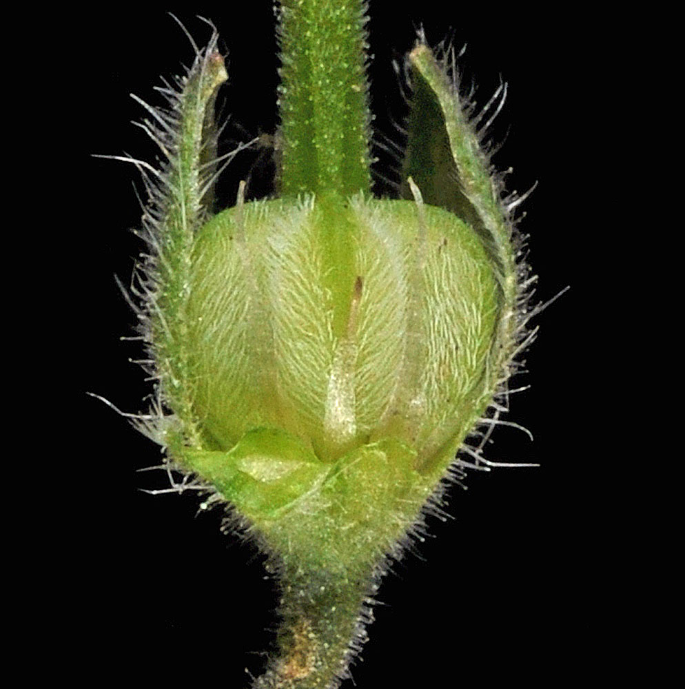
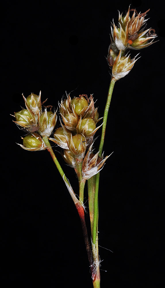
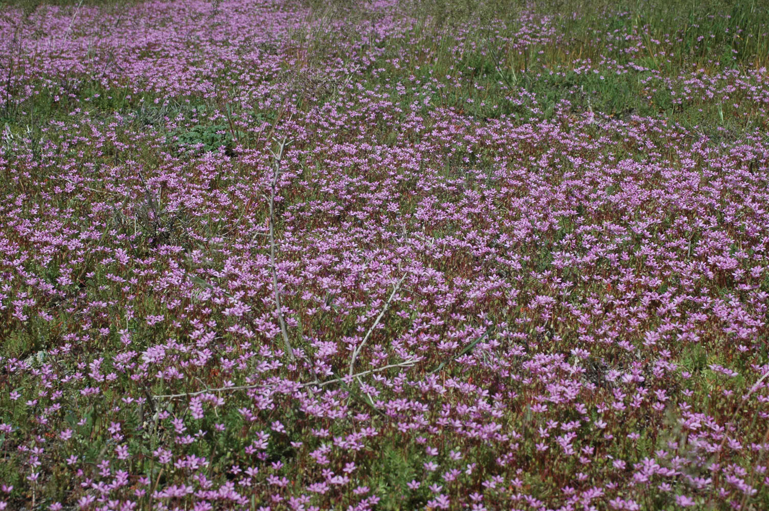
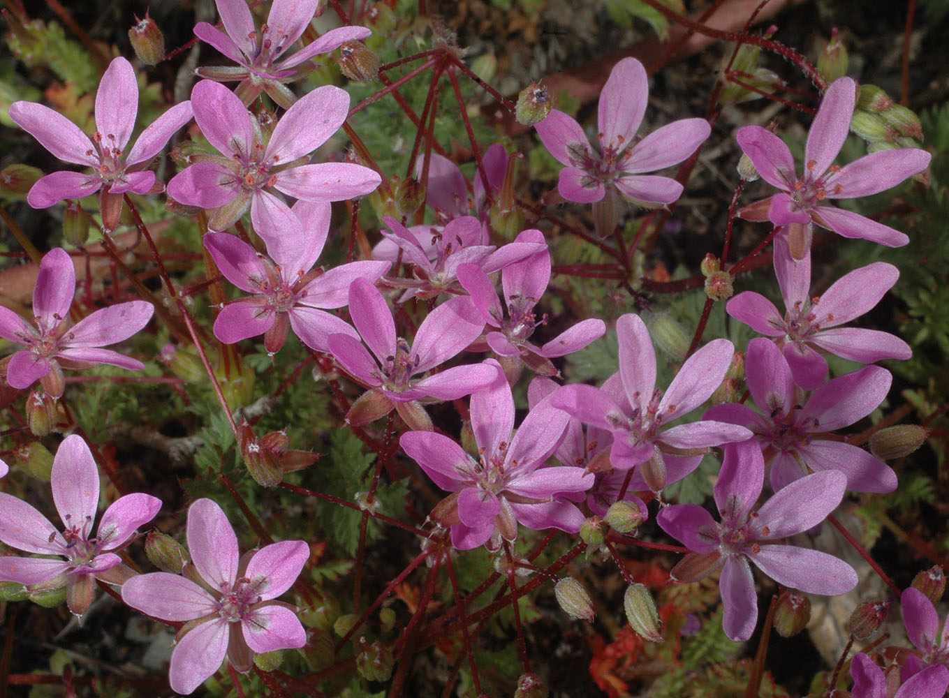
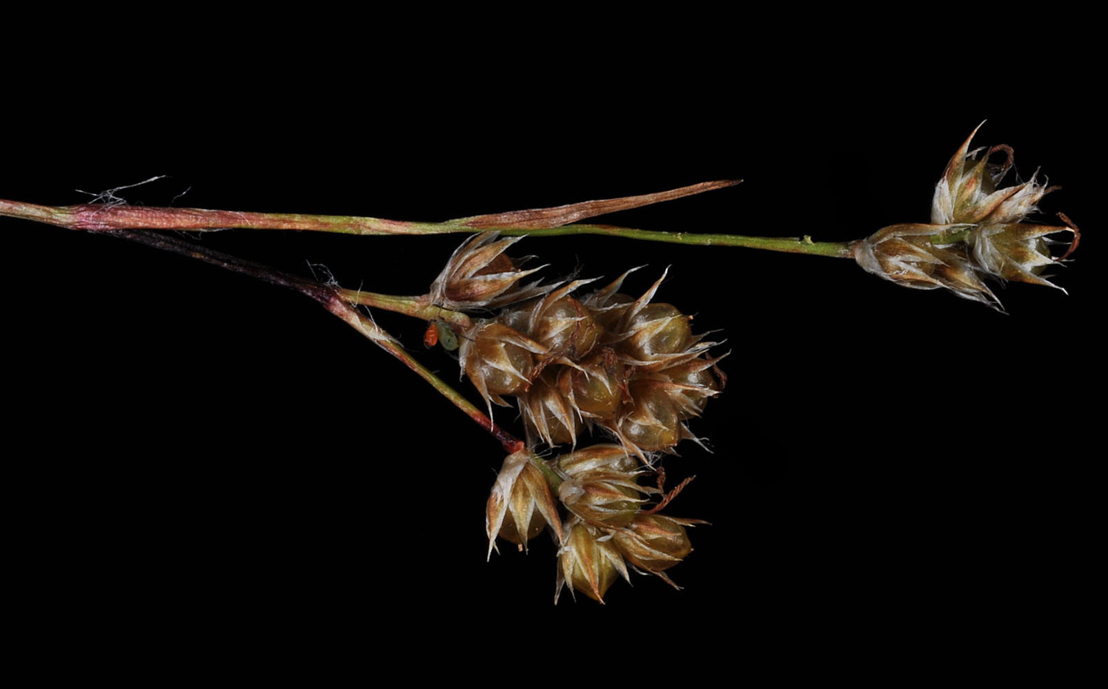
Along the Pomeroy-Grouse Flat Rd ca. 0.47 air mi E of Mt Misery Campground; N 46.12023 W 117.47431; Asotin Co., WA; 7/31/2013Along the Pomeroy-Grouse Flat Rd ca. 0.47 air mi E of Mt Misery Campground; N 46.12023 W 117.47431; Asotin Co., WA; 7/31/2013Along the Pomeroy-Grouse Flat Rd ca. 0.47 air mi E of Mt Misery Campground; N 46.12023 W 117.47431; Asotin Co., WA; 7/31/2013Along the Pomeroy-Grouse Flat Rd ca. 0.47 air mi E of Mt Misery Campground; N 46.12023 W 117.47431; Asotin Co., WA; 7/31/2013Along the Pomeroy-Grouse Flat Rd ca. 0.47 air mi E of Mt Misery Campground; N 46.12023 W 117.47431; Asotin Co., WA; 7/31/2013Along the Pomeroy-Grouse Flat Rd ca. 0.47 air mi E of Mt Misery Campground; N 46.12023 W 117.47431; Asotin Co., WA; 7/31/2013Along the Pomeroy-Grouse Flat Rd ca. 0.47 air mi E of Mt Misery Campground; N 46.12023 W 117.47431; Asotin Co., WA; 7/31/2013Along the Pomeroy-Grouse Flat Rd ca. 0.47 air mi E of Mt Misery Campground; N 46.12023 W 117.47431; Asotin Co., WA; 7/31/2013Along the Pomeroy-Grouse Flat Rd ca. 0.47 air mi E of Mt Misery Campground; N 46.12023 W 117.47431; Asotin Co., WA; 7/31/2013Along the Pomeroy-Grouse Flat Rd ca. 0.47 air mi E of Mt Misery Campground; N 46.12023 W 117.47431; Asotin Co., WA; 7/31/2013Along the Pomeroy-Grouse Flat Rd ca. 0.47 air mi E of Mt Misery Campground; N 46.12023 W 117.47431; Asotin Co., WA; 7/31/2013Along the Pomeroy-Grouse Flat Rd ca. 0.47 air mi E of Mt Misery Campground; N 46.12023 W 117.47431; Asotin Co., WA; 7/31/2013Along the Pomeroy-Grouse Flat Rd ca. 0.47 air mi E of Mt Misery Campground; N 46.12023 W 117.47431; Asotin Co., WA; 7/31/2013S. of Hwy 20 in Tiger Meadow; 3.25 air mi WSW of Tiger, WA.; E of NF Rd 3140; N 48.66911 W 117.47029; Pend Oreille Co., 8/18/2016Along the Pomeroy-Grouse Flat Rd ca. 0.47 air mi E of Mt Misery Campground; N 46.12023 W 117.47431; Asotin Co., WA; 7/31/2013S. of Hwy 20 in Tiger Meadow; 3.25 air mi WSW of Tiger, WA.; E of NF Rd 3140; N 48.66911 W 117.47029; Pend Oreille Co., 8/18/2016 — (Anther)S. of Hwy 20 in Tiger Meadow; 3.25 air mi WSW of Tiger, WA.; E of NF Rd 3140; N 48.66911 W 117.47029; Pend Oreille Co., 8/18/2016Below the wooden observation tower ca. 300 yds W of Big Meadow Lk; 6.9 air mi W of Ione, WA; N 48.72893 W 117.56673; Stevens Co.; 8/1/2018Below the wooden observation tower ca. 300 yds W of Big Meadow Lk; 6.9 air mi W of Ione, WA; N 48.72893 W 117.56673; Stevens Co.; 8/1/2018Below the wooden observation tower ca. 300 yds W of Big Meadow Lk; 6.9 air mi W of Ione, WA; N 48.72893 W 117.56673; Stevens Co.; 8/1/2018Below the wooden observation tower ca. 300 yds W of Big Meadow Lk; 6.9 air mi W of Ione, WA; N 48.72893 W 117.56673; Stevens Co.; 8/1/2018Below the wooden observation tower ca. 300 yds W of Big Meadow Lk; 6.9 air mi W of Ione, WA; N 48.72893 W 117.56673; Stevens Co.; 8/1/2018Below the wooden observation tower ca. 300 yds W of Big Meadow Lk; 6.9 air mi W of Ione, WA; N 48.72893 W 117.56673; Stevens Co.; 8/1/2018