| Scientific Name | Ipomopsis aggregata (Pursh) V. Grant ssp. aggregata |
| Family | Polemoniaceae |
| Common Names | scarlet gilia, skyrocket, fire weed |
| Eastern Washington | Native |
| Conservation Status | |
| Notes |
Click on any image to enlarge it.
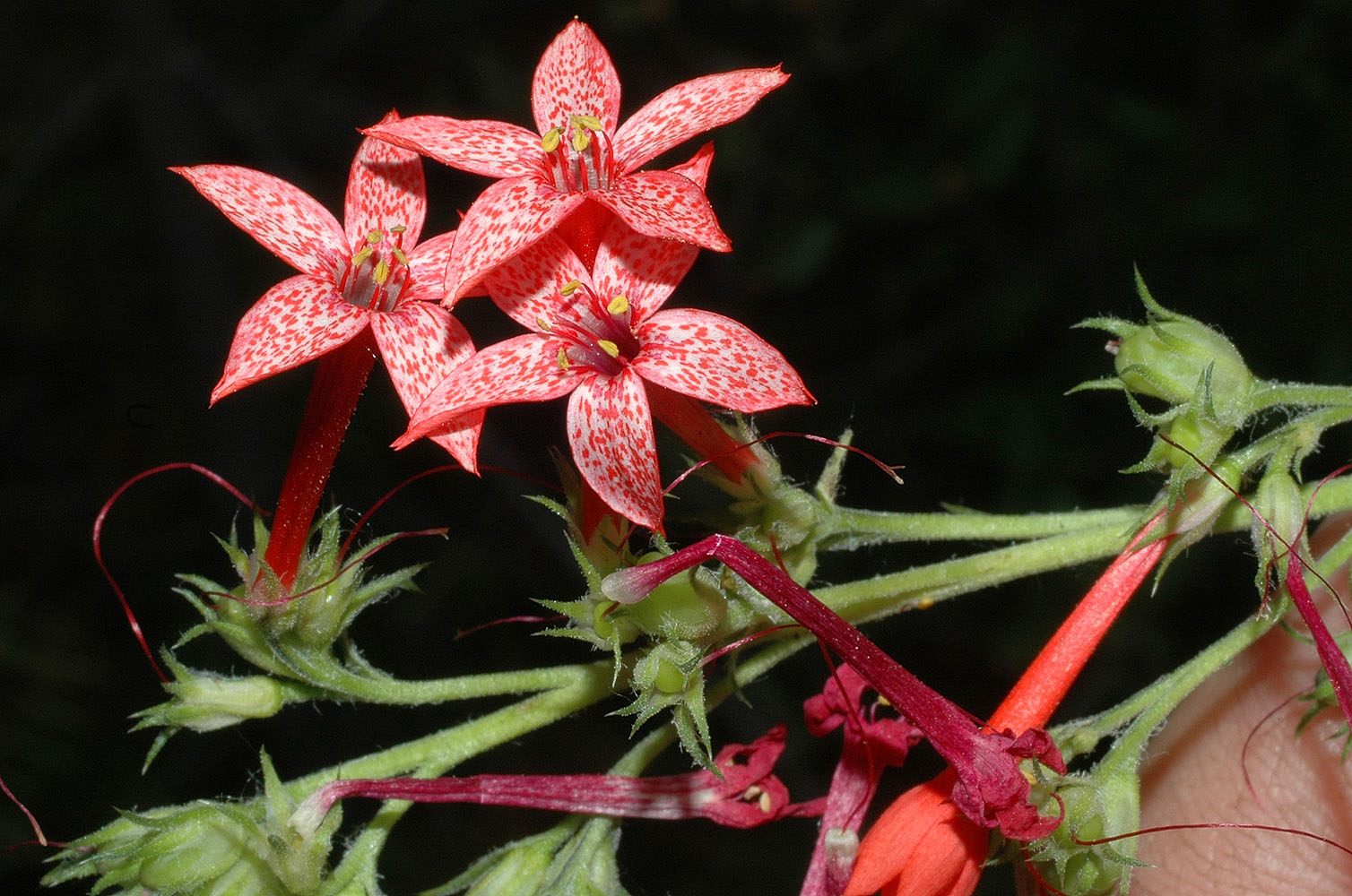
Along Hwy 20 4.5 mi W of Kettle Falls, WA – Ferry Co. – 7/3/2005 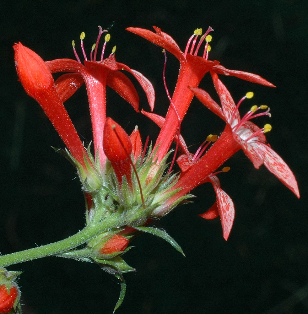
Along Hwy 20 4.5 mi W of Kettle Falls, WA – Ferry Co. – 7/3/2005 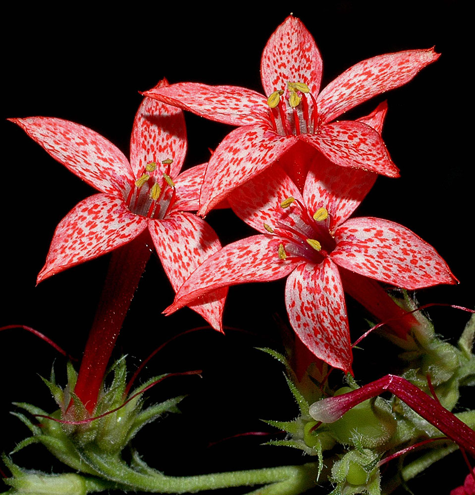
Along Hwy 20 4.5 mi W of Kettle Falls, WA – Ferry Co. – 7/3/2005 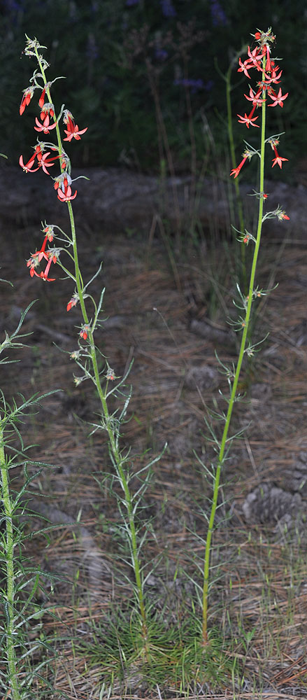
0.2 mi E of Inchelium Rd Along Hwy 20, W of Kettle Falls, WA – Ferry Co. – 6/5/2010 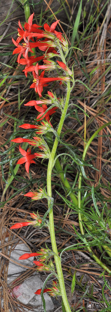
0.2 mi E of Inchelium Rd Along Hwy 20, W of Kettle Falls, WA – Ferry Co. – 6/5/2010 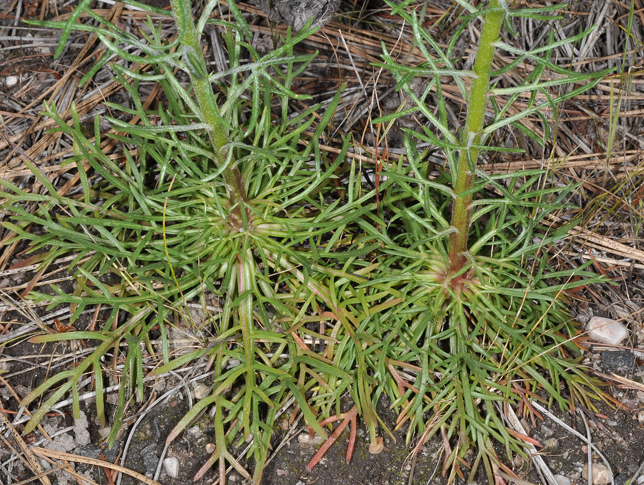
0.2 mi E of Inchelium Rd Along Hwy 20, W of Kettle Falls, WA – Ferry Co. – 6/5/2010 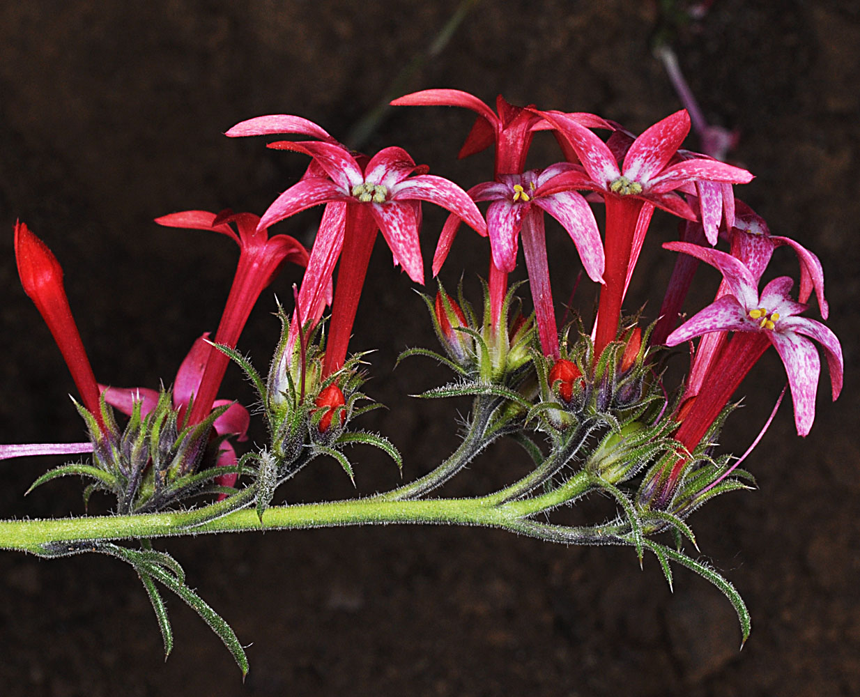
Joseph Creek Rd 1.8 mi. S of Green Gulch Rd ca. 4.9 mi S of Grand Ronde Bridge; N 46.01133 W 117.03200; Asotin Co., WA; 5/10/2012 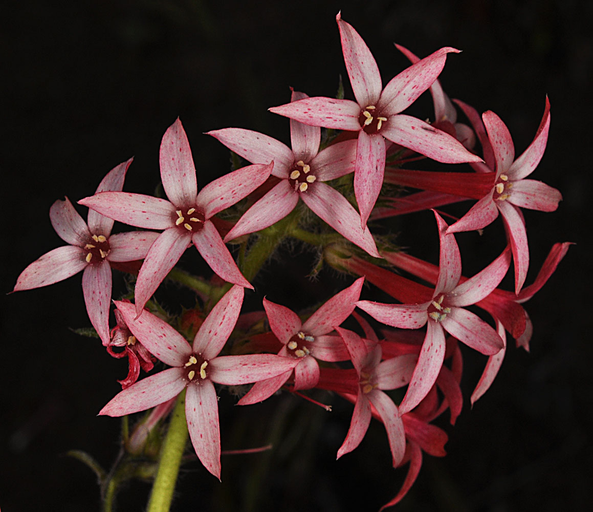
Joseph Creek Rd 1.8 mi. S of Green Gulch Rd ca. 4.9 mi S of Grand Ronde Bridge; N 46.01133 W 117.03200; Asotin Co., WA; 5/10/2012 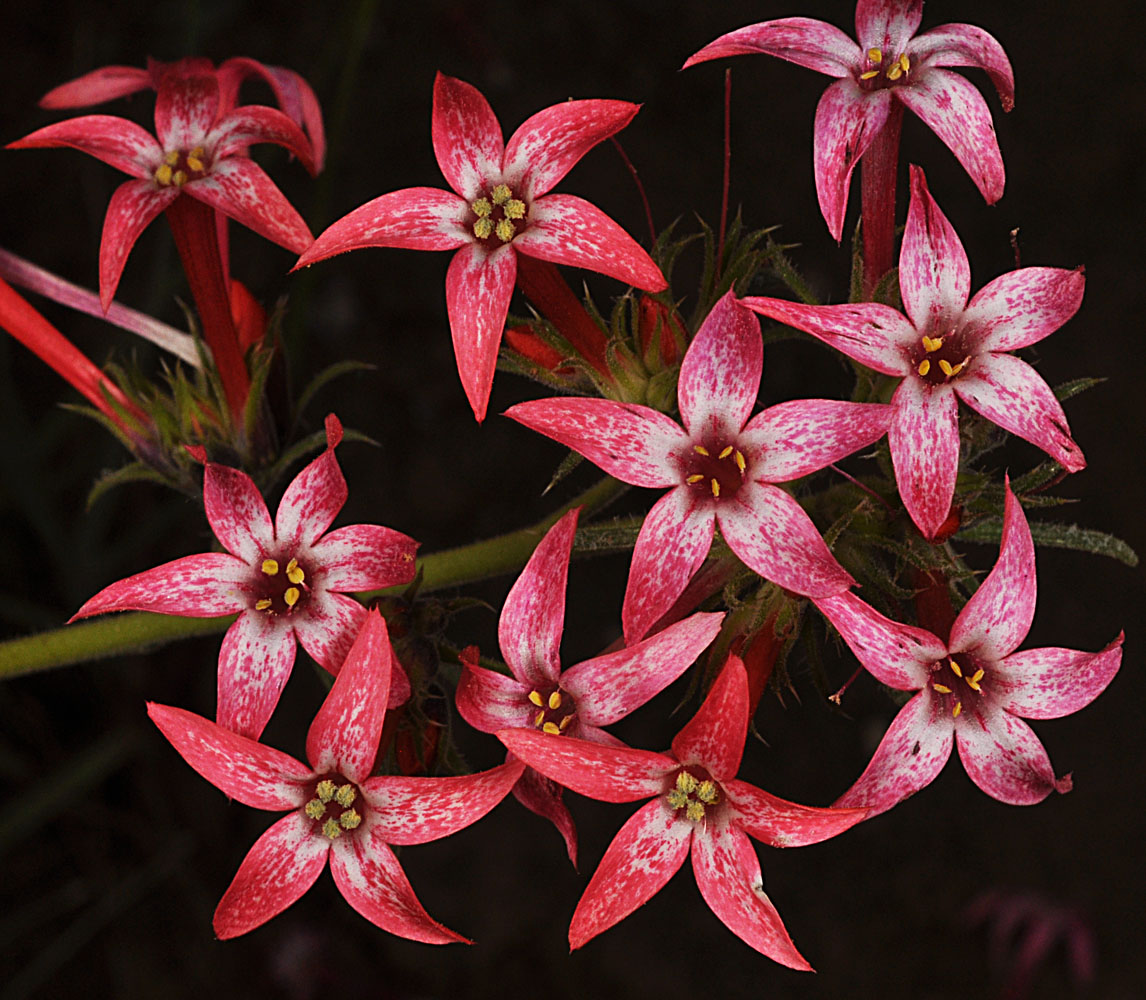
Joseph Creek Rd 1.8 mi. S of Green Gulch Rd ca. 4.9 mi S of Grand Ronde Bridge; N 46.01133 W 117.03200; Asotin Co., WA; 5/10/2012 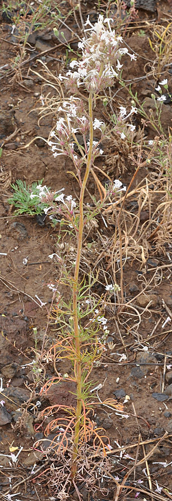
Along Zumwalt Rd NE of Enterprise, OR; 45.61816N 116.98212W – Wallowa Co., OR – 7/27/2009 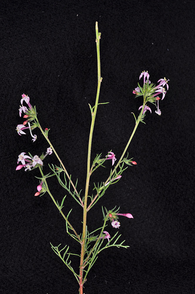
Along Zumwalt Rd NE of Enterprise, OR; 45.61816N 116.98212W – Wallowa Co., OR – 7/27/2009 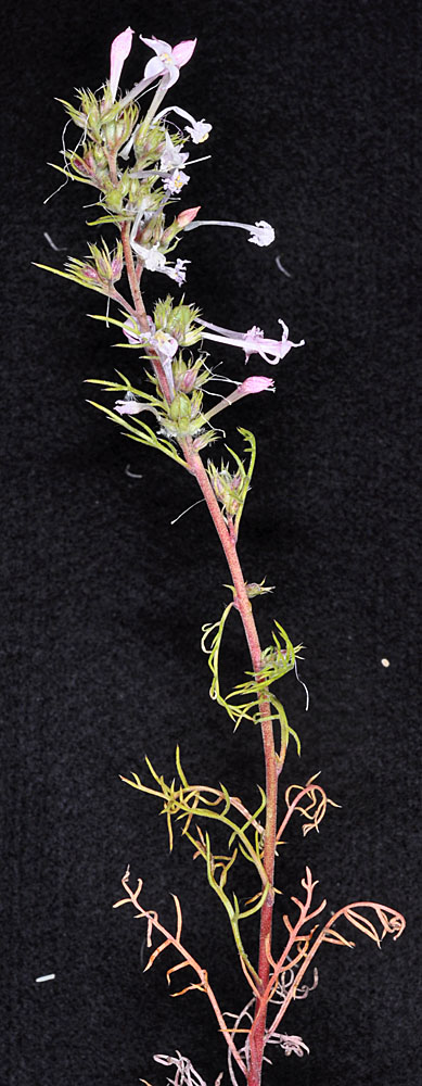
Along Zumwalt Rd NE of Enterprise, OR; 45.61816N 116.98212W – Wallowa Co., OR – 7/27/2009 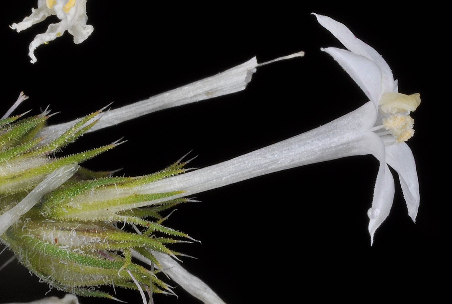
Along Zumwalt Rd NE of Enterprise, OR; 45.61816N 116.98212W – Wallowa Co., OR – 7/27/2009 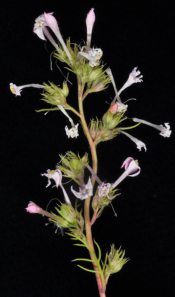
Along Zumwalt Rd NE of Enterprise, OR; 45.61816N 116.98212W – Wallowa Co., OR – 7/27/2009 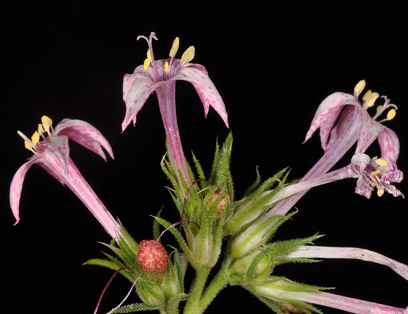
Along Zumwalt Rd NE of Enterprise, OR; 45.61816N 116.98212W – Wallowa Co., OR – 7/27/2009 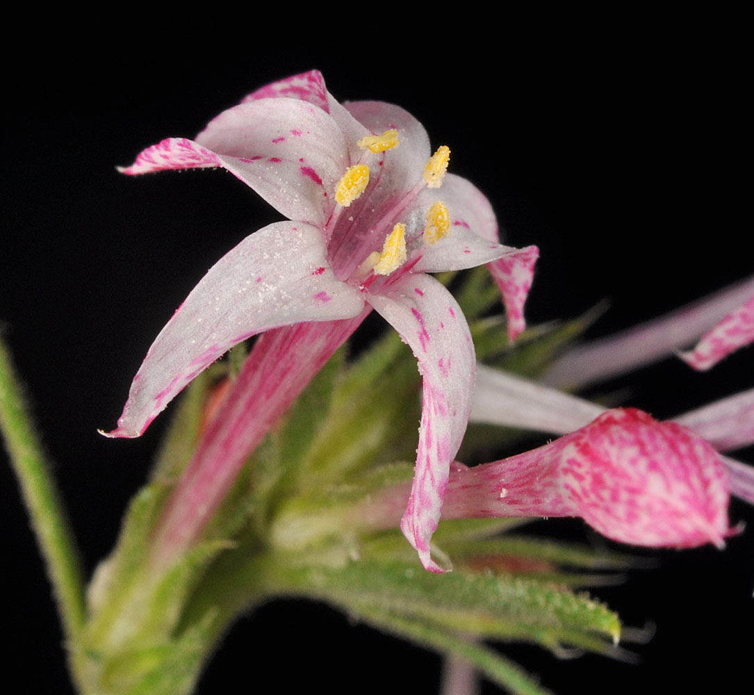
Along Zumwalt Rd NE of Enterprise, OR; 45.61816N 116.98212W – Wallowa Co., OR – 7/27/2009 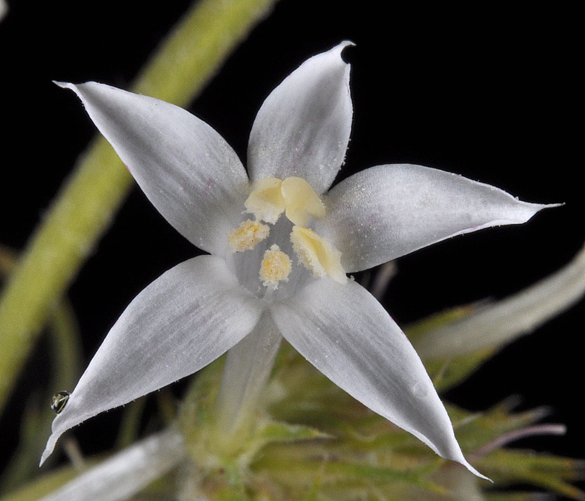
Along Zumwalt Rd NE of Enterprise, OR; 45.61816N 116.98212W – Wallowa Co., OR – 7/27/2009


