| Scientific Name | Dysphania botrys (L.) Mosyakin & Clemants |
| Family | Amaranthaceae |
| Common Names | Jerusalem oak goosefoot, Jerusalem oak |
| Eastern Washington | Eurasia |
| Conservation Status | |
| Notes |
Click on any image to enlarge it.
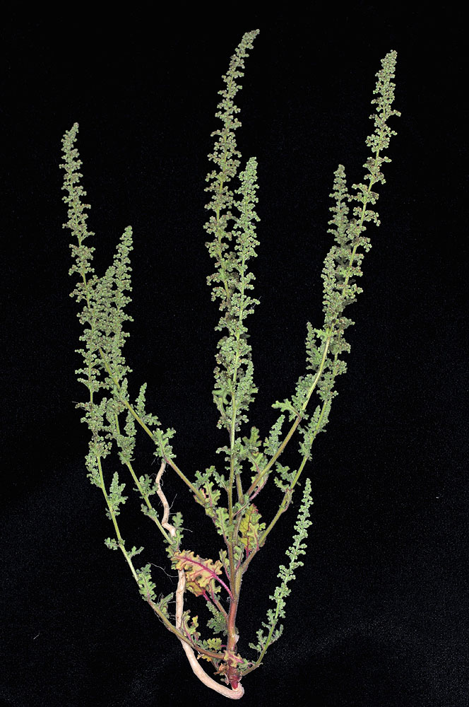
Hwy 395, 2.6 mi SW of Canyon Ck Rd, 10.7 mi S of Canyon City; N44.27507, W118.97349 – Grant CO., OR – 9/26/2009 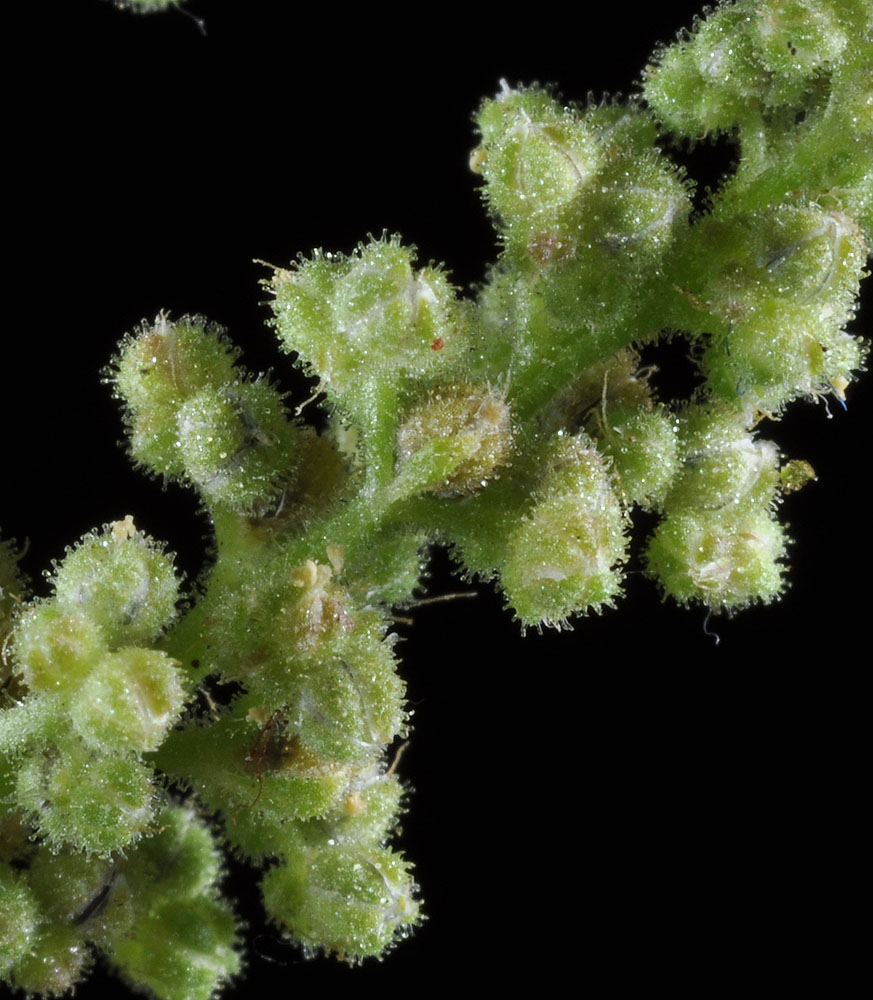
Hwy 395, 2.6 mi SW of Canyon Ck Rd, 10.7 mi S of Canyon City; N44.27507, W118.97349 – Grant CO., OR – 9/26/2009 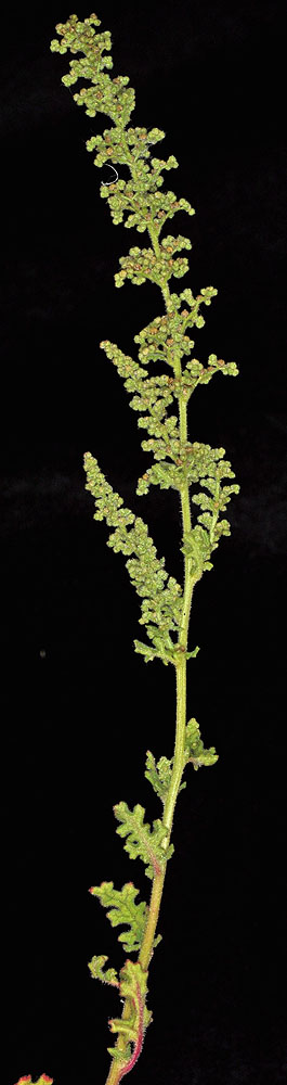
Hwy 395, 2.6 mi SW of Canyon Ck Rd, 10.7 mi S of Canyon City; N44.27507, W118.97349 – Grant CO., OR – 9/26/2009 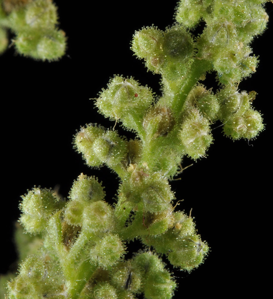
Hwy 395, 2.6 mi SW of Canyon Ck Rd, 10.7 mi S of Canyon City; N44.27507, W118.97349 – Grant CO., OR – 9/26/2009 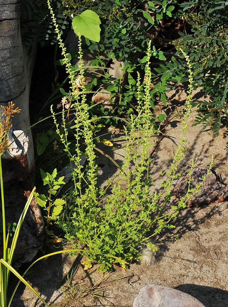
Chief Timothy Wildlife Management Area W of Clarkston, WA; 0.60 mi ENE of Silcott Isl; N 46.42186 W 117.17061; Asotin Co.; 7/30/2013 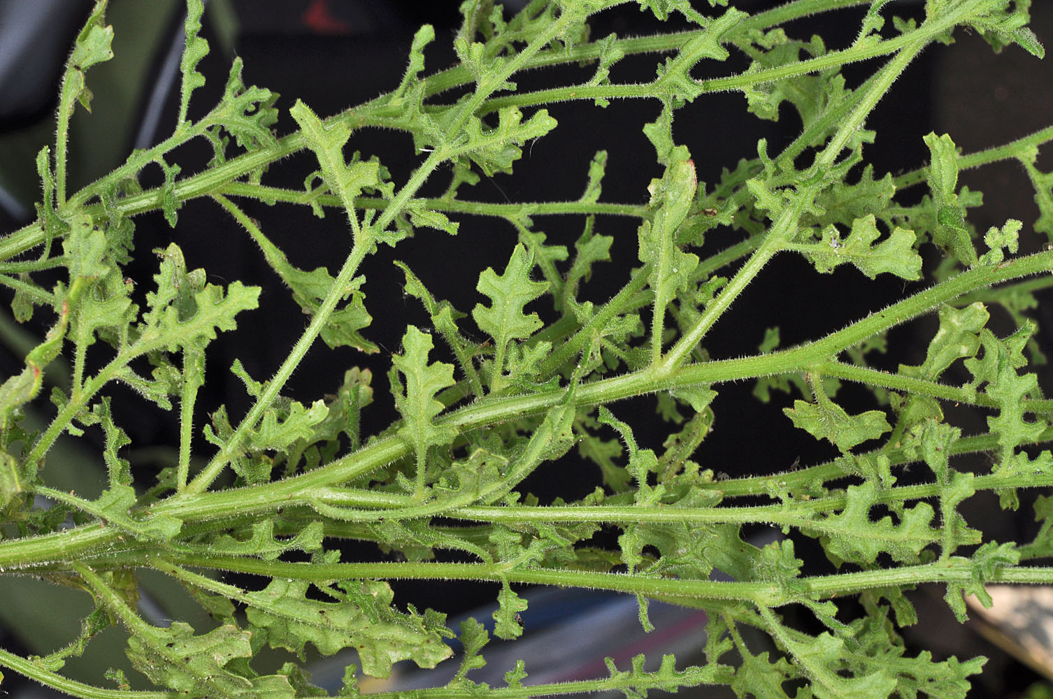
Chief Timothy Wildlife Management Area W of Clarkston, WA; 0.60 mi ENE of Silcott Isl; N 46.42186 W 117.17061; Asotin Co.; 7/30/2013 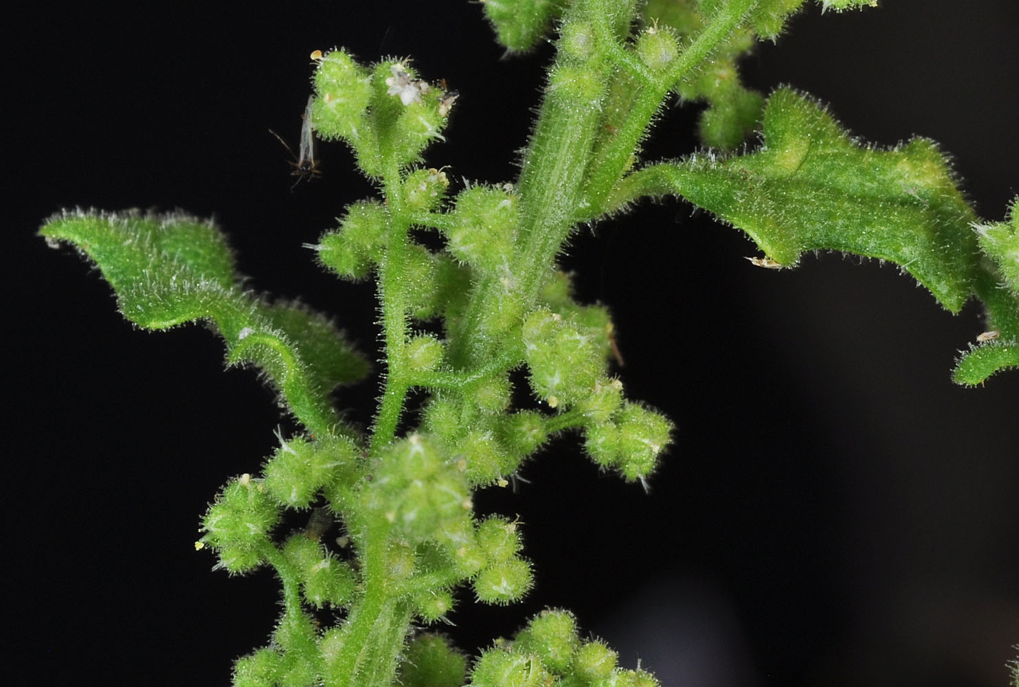
Chief Timothy Wildlife Management Area W of Clarkston, WA; 0.60 mi ENE of Silcott Isl; N 46.42186 W 117.17061; Asotin Co.; 7/30/2013 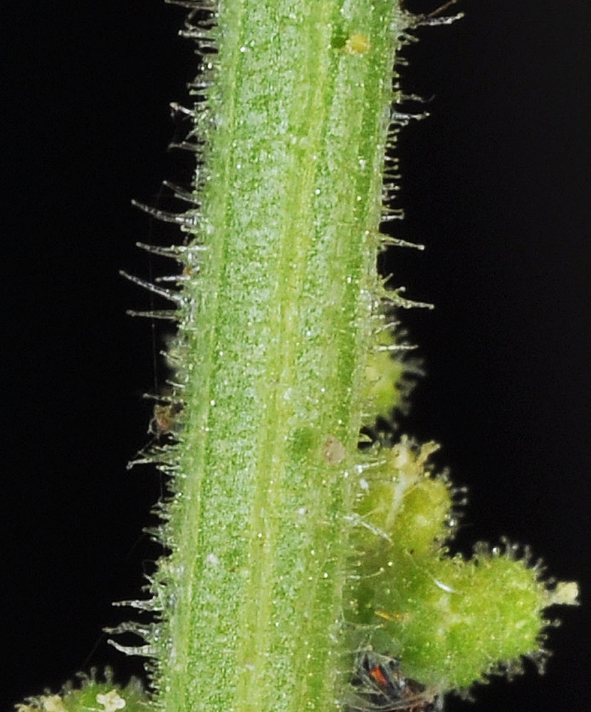
Chief Timothy Wildlife Management Area W of Clarkston, WA; 0.60 mi ENE of Silcott Isl; N 46.42186 W 117.17061; Asotin Co.; 7/30/2013 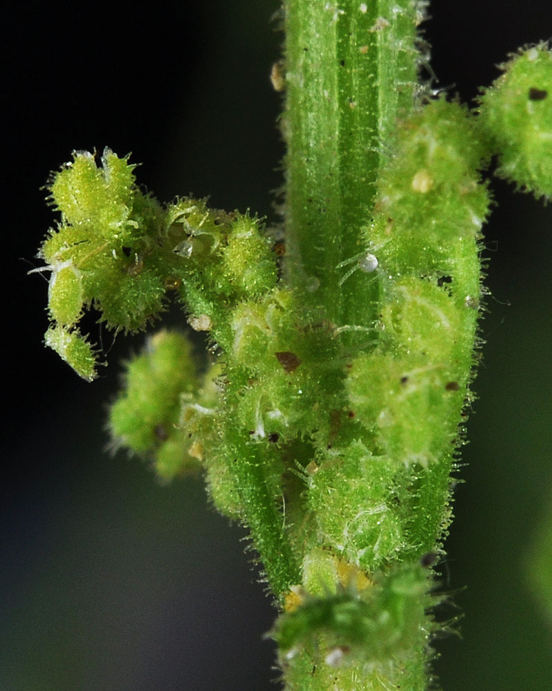
Chief Timothy Wildlife Management Area W of Clarkston, WA; 0.60 mi ENE of Silcott Isl; N 46.42186 W 117.17061; Asotin Co.; 7/30/2013 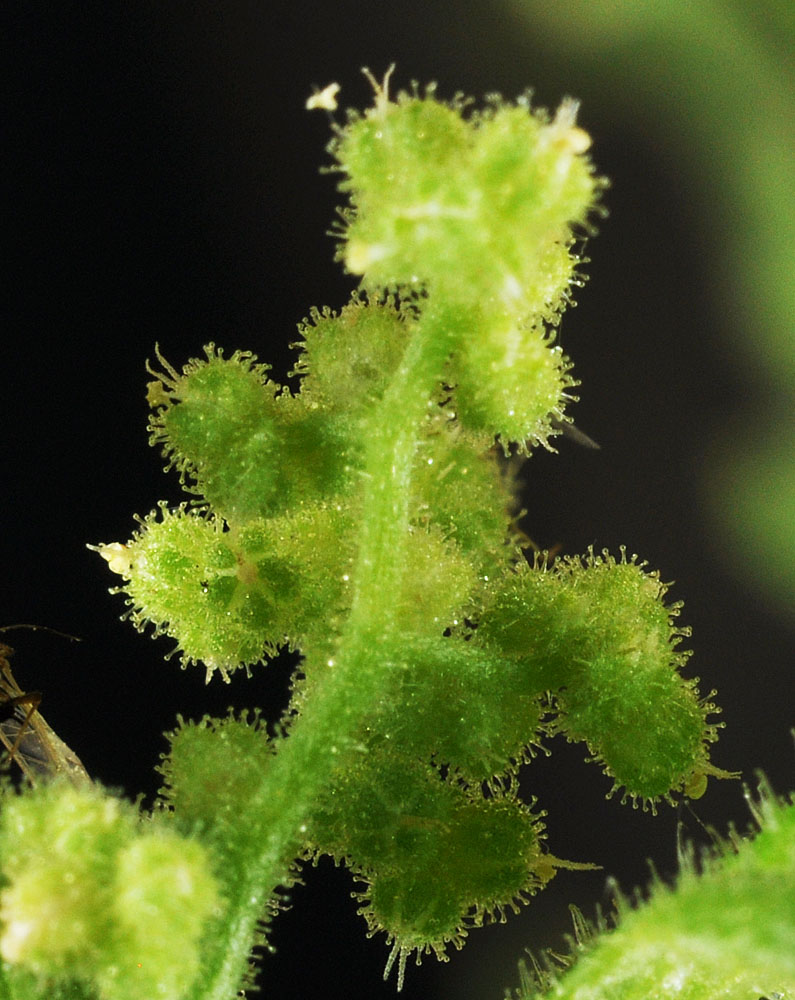
Chief Timothy Wildlife Management Area W of Clarkston, WA; 0.60 mi ENE of Silcott Isl; N 46.42186 W 117.17061; Asotin Co.; 7/30/2013 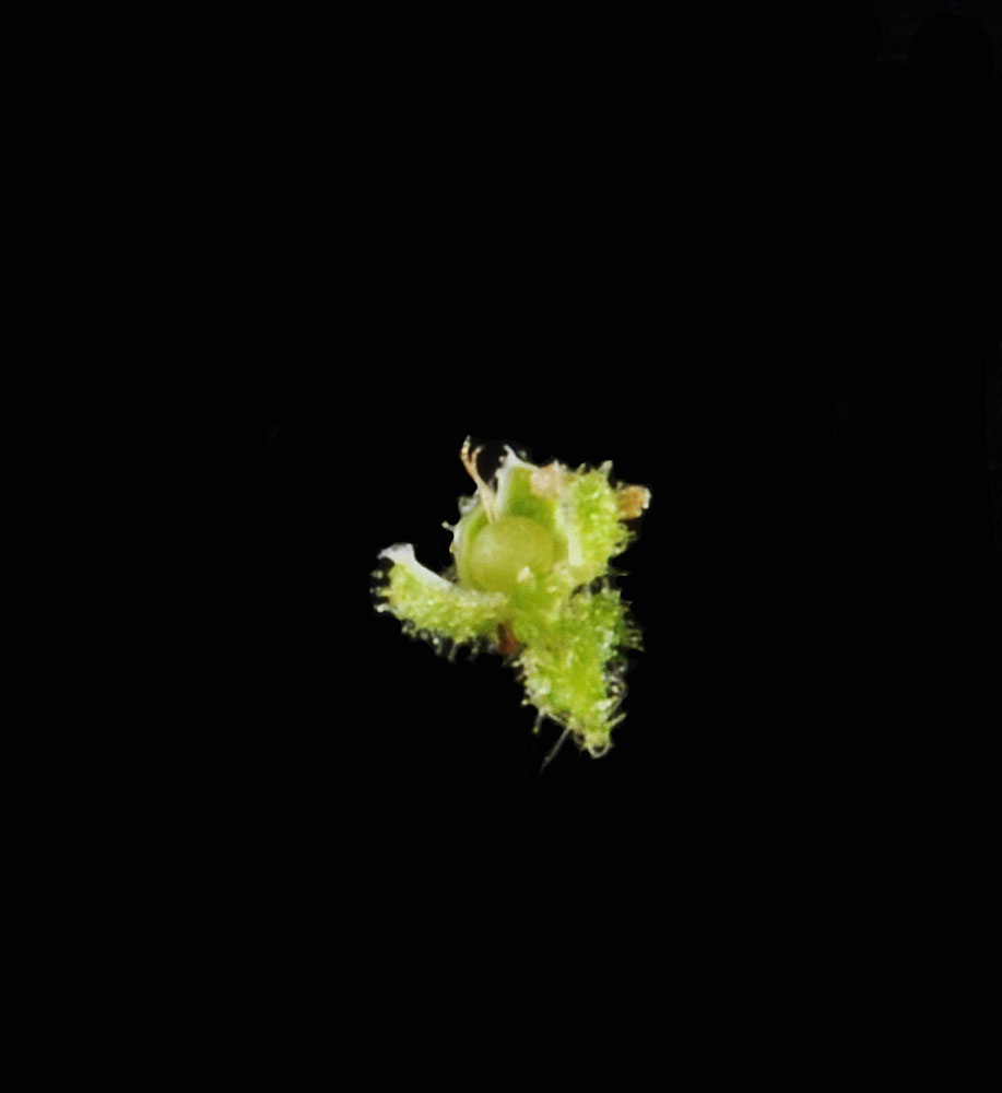
Chief Timothy Wildlife Management Area W of Clarkston, WA; 0.60 mi ENE of Silcott Isl; N 46.42186 W 117.17061; Asotin Co.; 7/30/2013 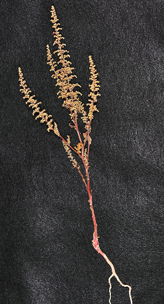
Ca. 2.1 air mi W (and slightly N) of the SE tip of Moses Lake (WA) along Rd C NE.; N 47.06667 W 119.36317; Grant Co., 10/13/2016 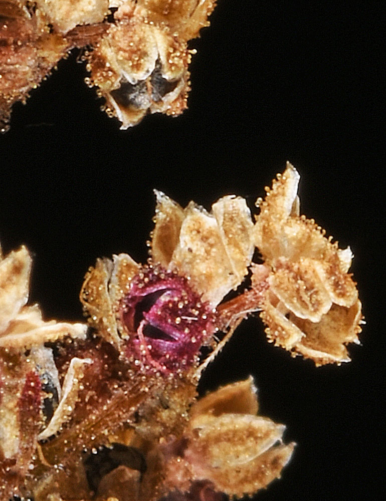
Ca. 2.1 air mi W (and slightly N) of the SE tip of Moses Lake (WA) along Rd C NE.; N 47.06667 W 119.36317; Grant Co., 10/13/2016 
Ca. 2.1 air mi W (and slightly N) of the SE tip of Moses Lake (WA) along Rd C NE.; N 47.06667 W 119.36317; Grant Co., 10/13/2016 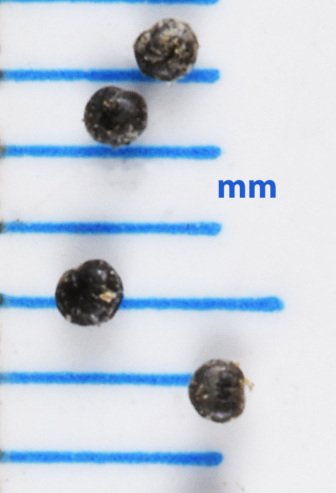
Ca. 2.1 air mi W (and slightly N) of the SE tip of Moses Lake (WA) along Rd C NE.; N 47.06667 W 119.36317; Grant Co., 10/13/2016


