| Scientific Name | Pseudognaphalium thermale (E. E. Nelson) G. L. Nesom |
| Family | Asteraceae |
| Common Names | northwestern rabbit-tobacco, slender cudweed |
| Eastern Washington | Native |
| Conservation Status | |
| Notes |
Click on any image to enlarge it.
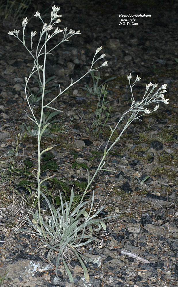
© Gerald D.. Carr Natl. For. Dev. Rd. 11, ca. 9.8 mi. E of Lone Star, N44.58190, 122.15159, Linn Co., OR, 9/11/2007 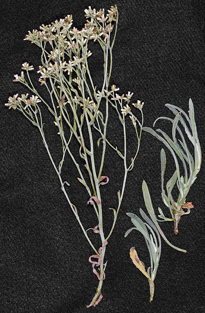
© Gerald D.. Carr Natl. For. Dev. Rd. 11, ca. 9.8 mi. E of Lone Star, N44.58190, 122.15159, Linn Co., OR, 9/11/2007 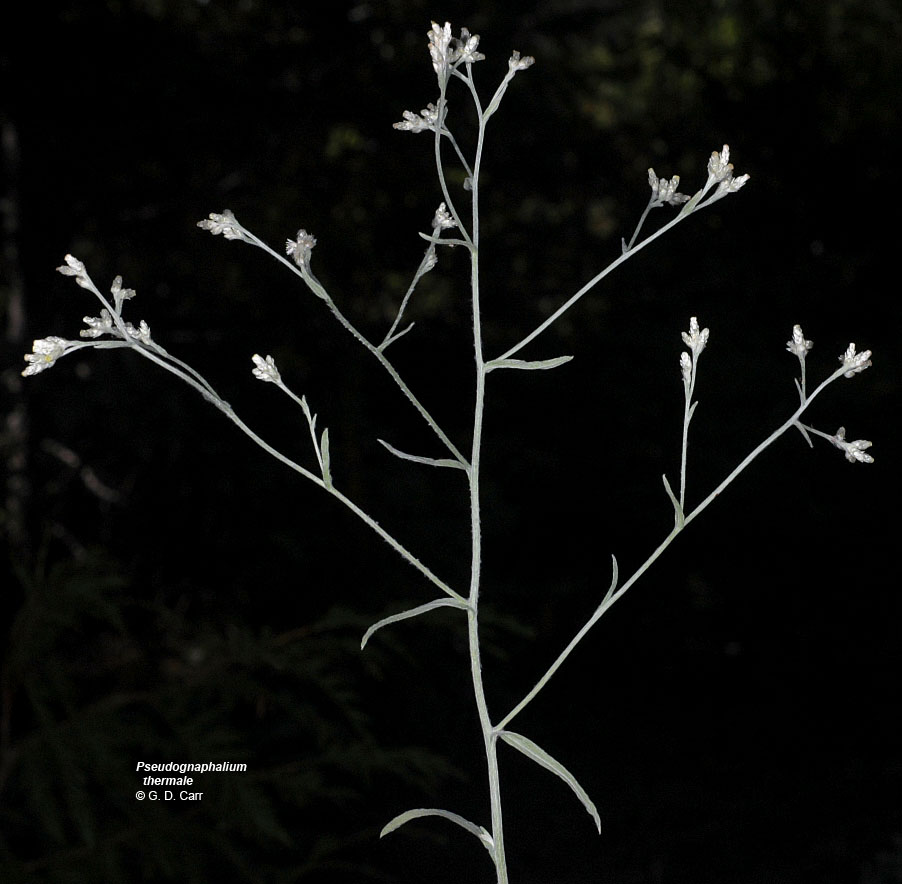
© Gerald D.. Carr Natl. For. Dev. Rd. 11, ca. 9.8 mi. E of Lone Star, N44.58190, 122.15159, Linn Co., OR, 9/11/2007 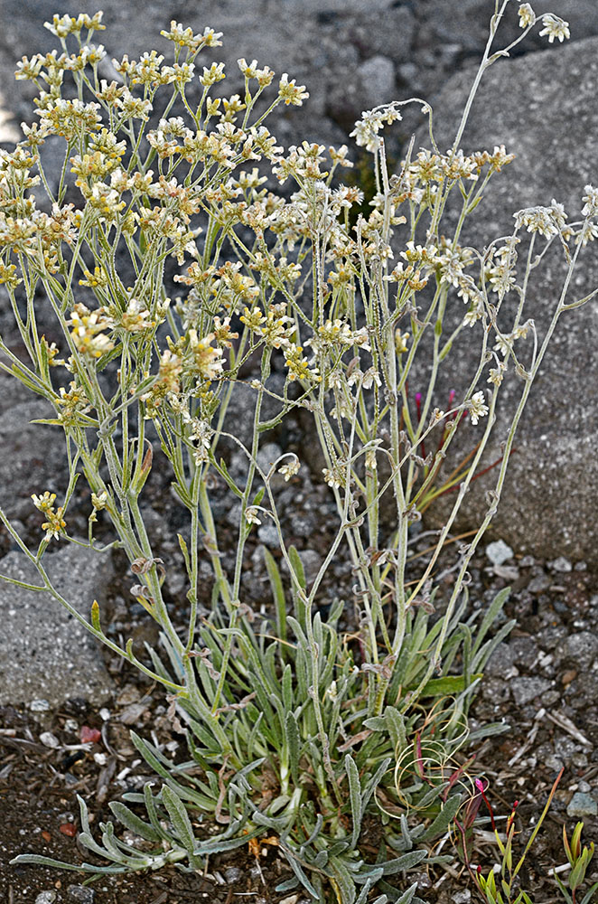
© Gerald D.. Carr White River at crossing of Hwy 34, E of Government Camp, 4242 ft. elev., N45.30295, W121.67203, Hood River Co., OR, 9/3/2014 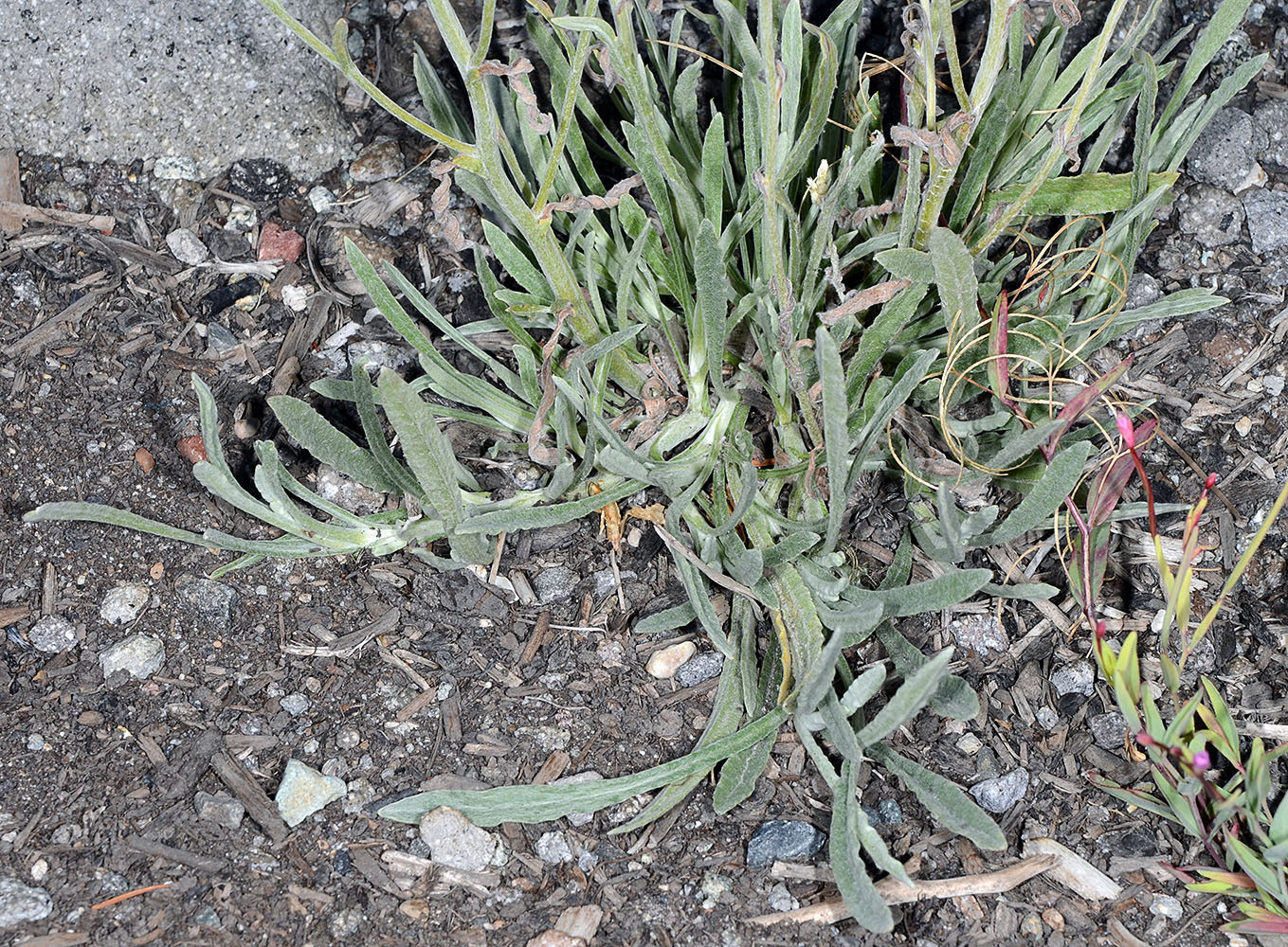
© Gerald D.. Carr White River at crossing of Hwy 34, E of Government Camp, 4242 ft. elev., N45.30295, W121.67203, Hood River Co., OR, 9/3/2014 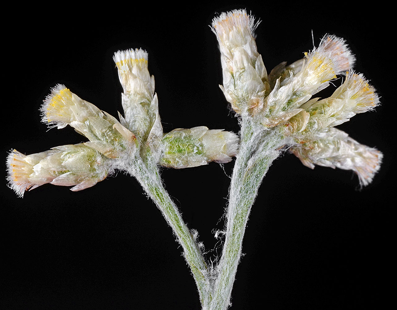
© Gerald D.. Carr White River at crossing of Hwy 34, E of Government Camp, 4242 ft. elev., N45.30295, W121.67203, Hood River Co., OR, 9/3/2014 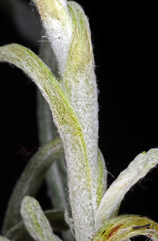
© Gerald D.. Carr White River at crossing of Hwy 34, E of Government Camp, 4242 ft. elev., N45.30295, W121.67203, Hood River Co., OR, 9/3/2014 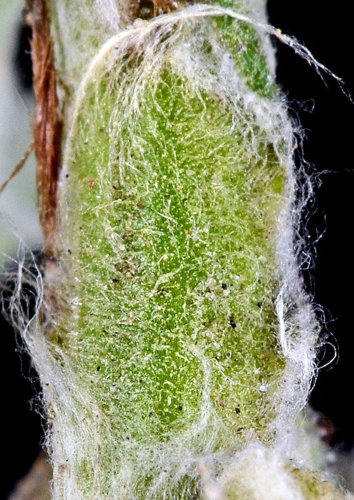
© Gerald D.. Carr White River at crossing of Hwy 34, E of Government Camp, 4242 ft. elev., N45.30295, W121.67203, Hood River Co., OR, 9/3/2014 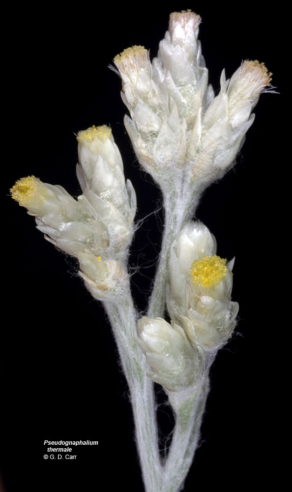
© Gerald D.. Carr Natl. For. Dev. Rd. 11, ca. 9.8 mi. E of Lone Star, N44.58190, 122.15159, Linn Co., OR, 9/11/2007 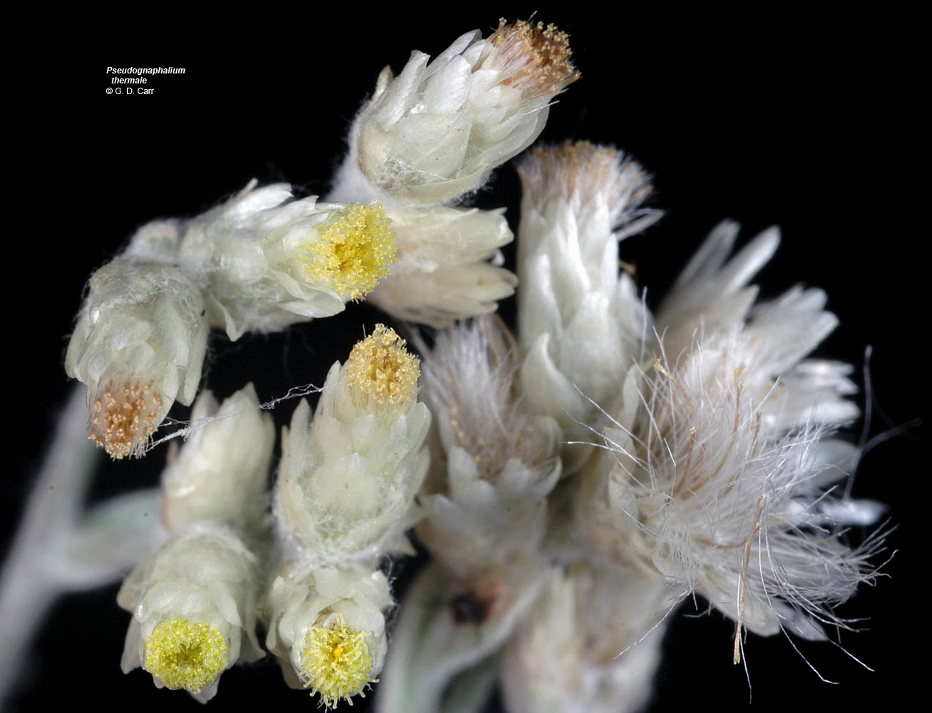
© Gerald D.. Carr Natl. For. Dev. Rd. 11, ca. 9.8 mi. E of Lone Star, N44.58190, 122.15159, Linn Co., OR, 9/11/2007 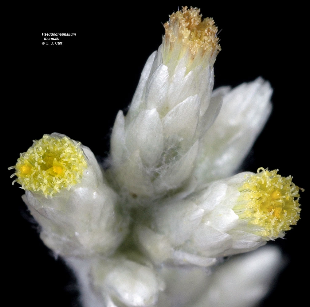
© Gerald D.. Carr Natl. For. Dev. Rd. 11, ca. 9.8 mi. E of Lone Star, N44.58190, 122.15159, Linn Co., OR, 9/11/2007 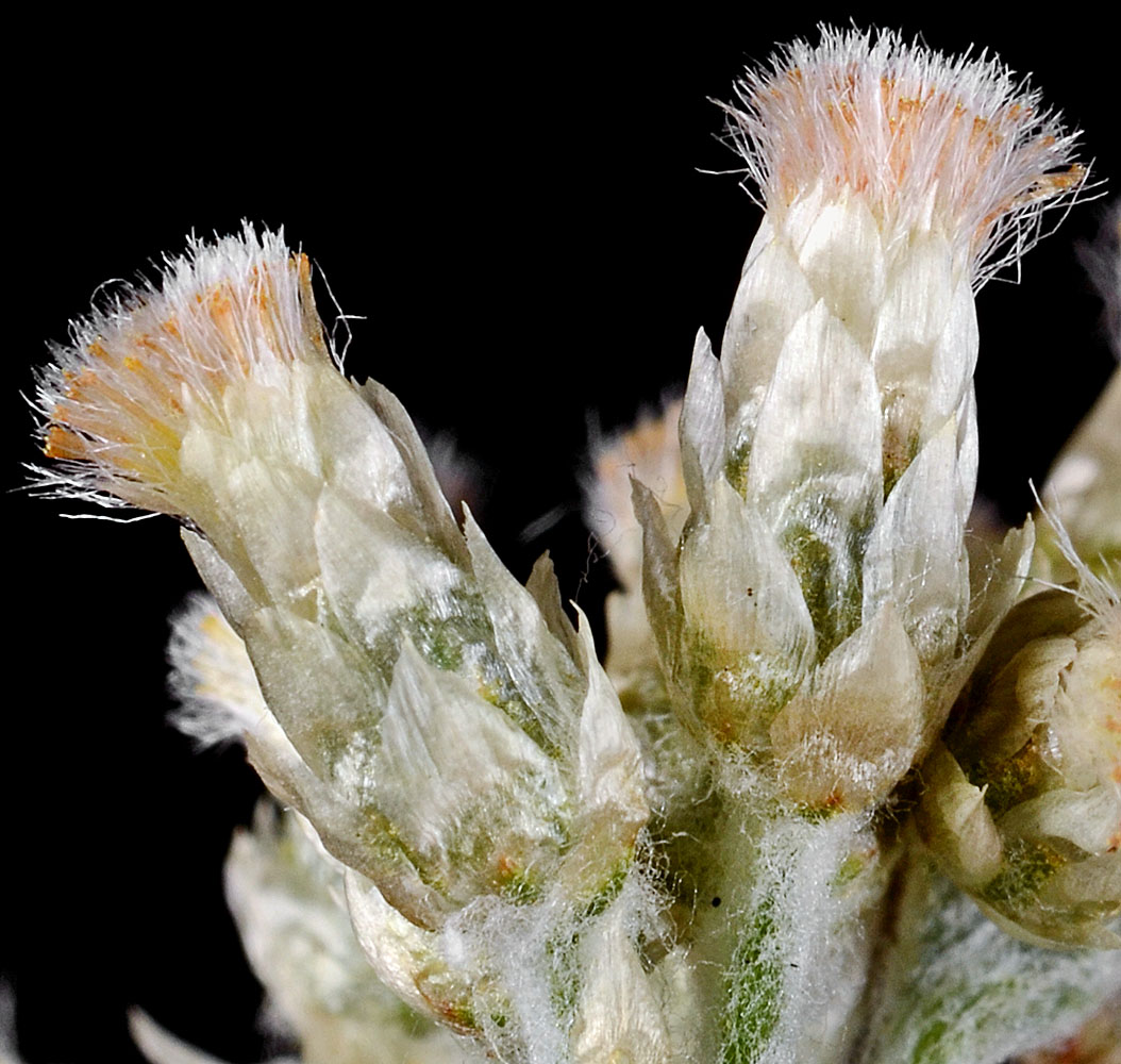
© Gerald D.. Carr White River at crossing of Hwy 34, E of Government Camp, 4242 ft. elev., N45.30295, W121.67203, Hood River Co., OR, 9/3/2014 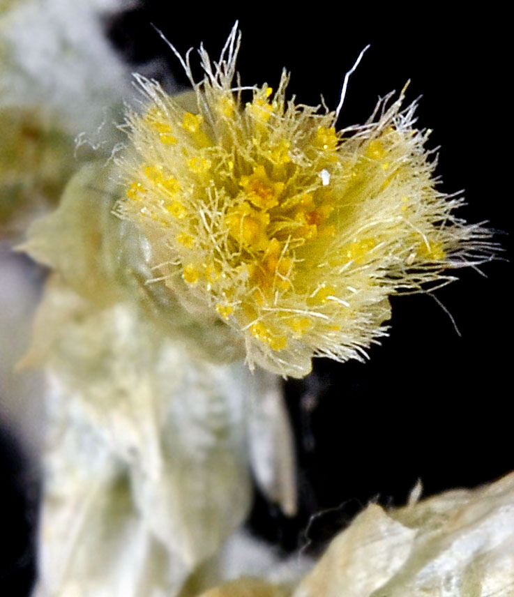
© Gerald D.. Carr White River at crossing of Hwy 34, E of Government Camp, 4242 ft. elev., N45.30295, W121.67203, Hood River Co., OR, 9/3/2014 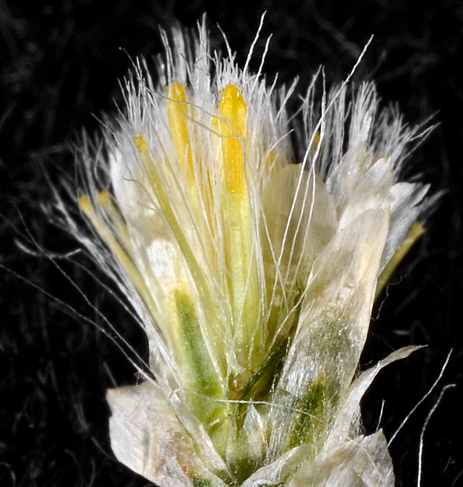
© Gerald D.. Carr White River at crossing of Hwy 34, E of Government Camp, 4242 ft. elev., N45.30295, W121.67203, Hood River Co., OR, 9/3/2014 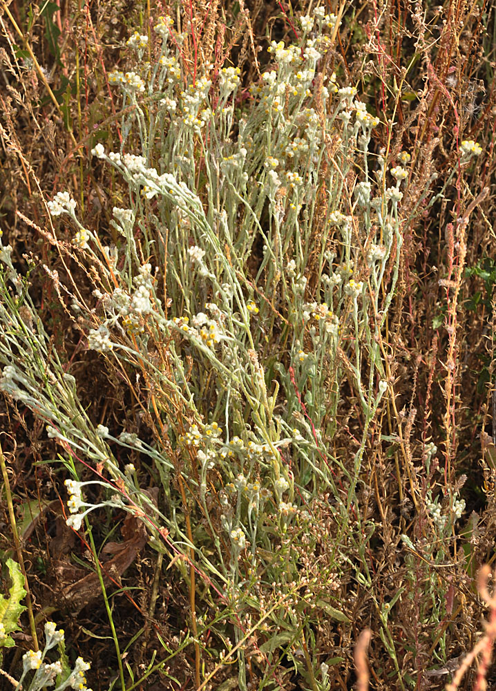
Scooteney Reservoir SE of Othello, WA; area around parking lot W of Scooteney Park Rd.; N 46.69984 W 119.02313; Franklin Co.; 10/2/2015 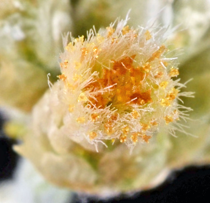
© Gerald D.. Carr White River at crossing of Hwy 34, E of Government Camp, 4242 ft. elev., N45.30295, W121.67203, Hood River Co., OR, 9/3/2014 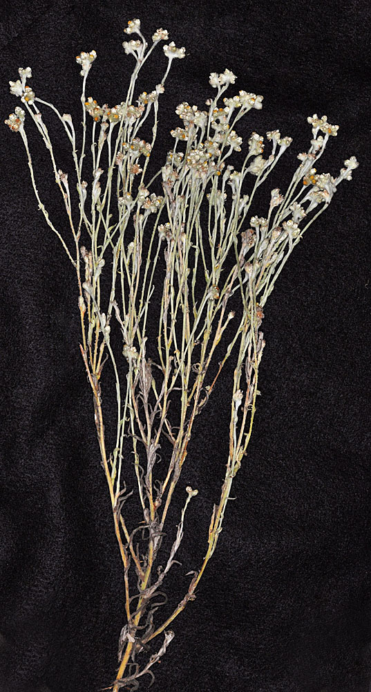
Scooteney Reservoir SE of Othello, WA; area around parking lot W of Scooteney Park Rd.; N 46.69984 W 119.02313; Franklin Co.; 10/2/2015 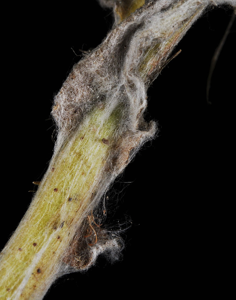
Scooteney Reservoir SE of Othello, WA; area around parking lot W of Scooteney Park Rd.; N 46.69984 W 119.02313; Franklin Co.; 10/2/2015 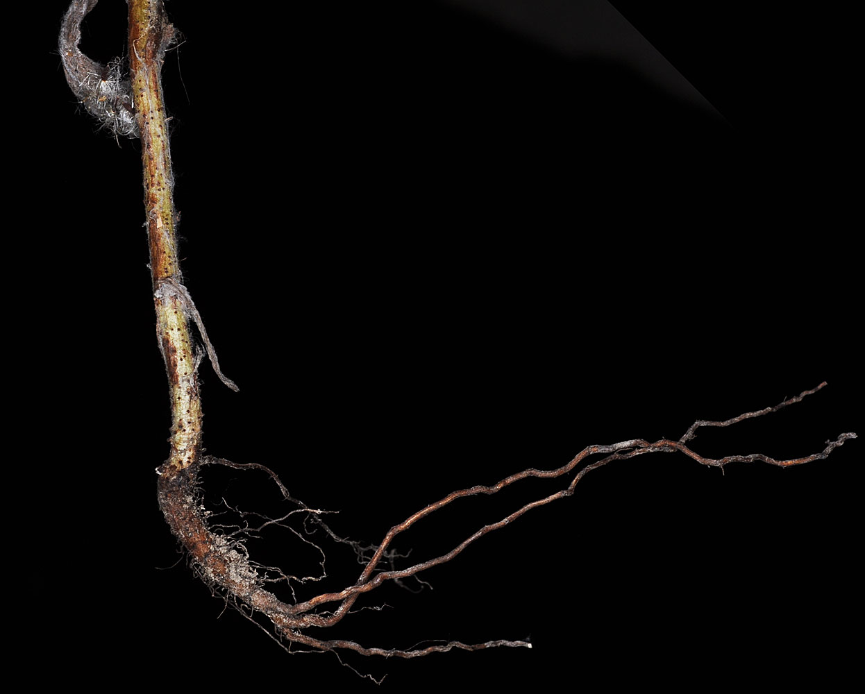
Scooteney Reservoir SE of Othello, WA; area around parking lot W of Scooteney Park Rd.; N 46.69984 W 119.02313; Franklin Co.; 10/2/2015 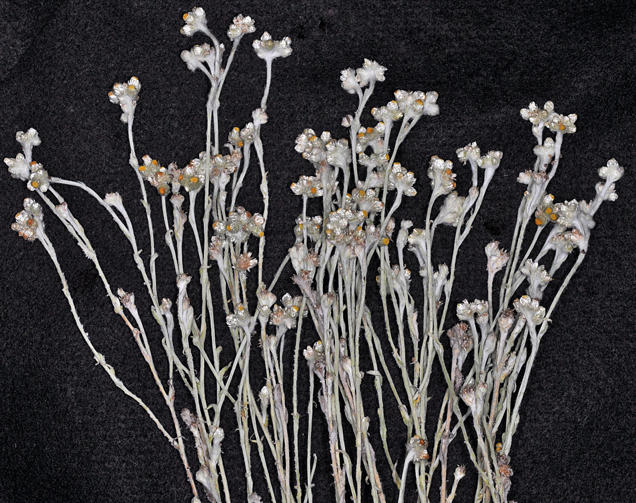
Scooteney Reservoir SE of Othello, WA; area around parking lot W of Scooteney Park Rd.; N 46.69984 W 119.02313; Franklin Co.; 10/2/2015 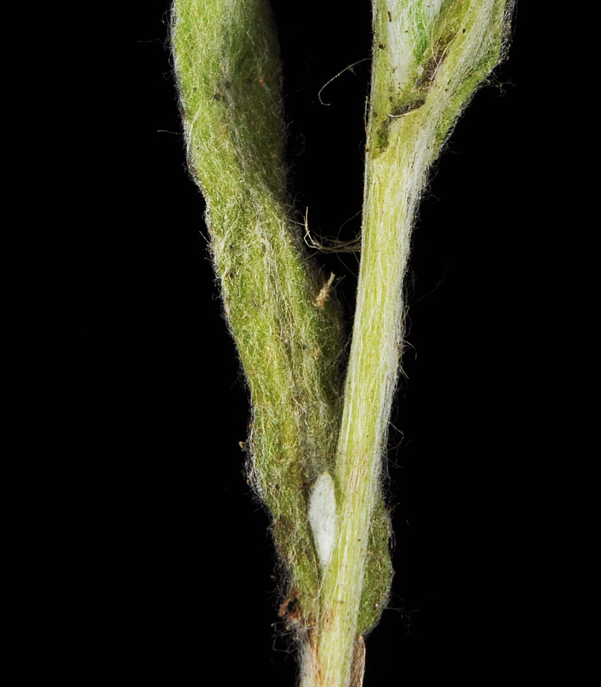
Scooteney Reservoir SE of Othello, WA; area around parking lot W of Scooteney Park Rd.; N 46.69984 W 119.02313; Franklin Co.; 10/2/2015 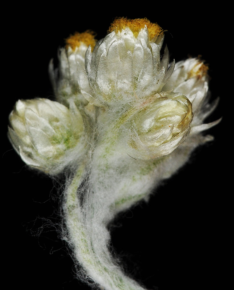
Scooteney Reservoir SE of Othello, WA; area around parking lot W of Scooteney Park Rd.; N 46.69984 W 119.02313; Franklin Co.; 10/2/2015 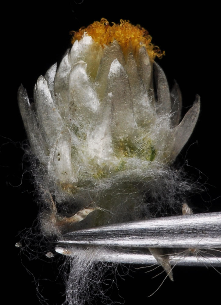
Scooteney Reservoir SE of Othello, WA; area around parking lot W of Scooteney Park Rd.; N 46.69984 W 119.02313; Franklin Co.; 10/2/2015 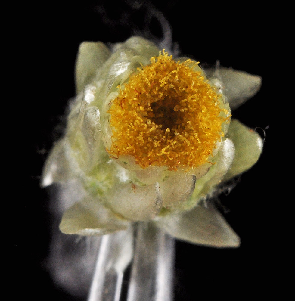
Scooteney Reservoir SE of Othello, WA; area around parking lot W of Scooteney Park Rd.; N 46.69984 W 119.02313; Franklin Co.; 10/2/2015 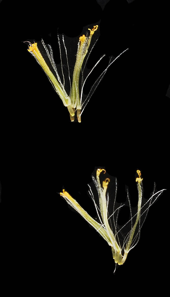
Scooteney Reservoir SE of Othello, WA; area around parking lot W of Scooteney Park Rd.; N 46.69984 W 119.02313; Franklin Co.; 10/2/2015


