| Scientific Name | Pedicularis racemosa Dougl. ex Benth. var. alba (Pennell) Cronquist |
| Family | Orobanchaceae |
| Common Names | sickletop lousewort |
| Eastern Washington | Native |
| Conservation Status | |
| Notes |
Click on any image to enlarge it.
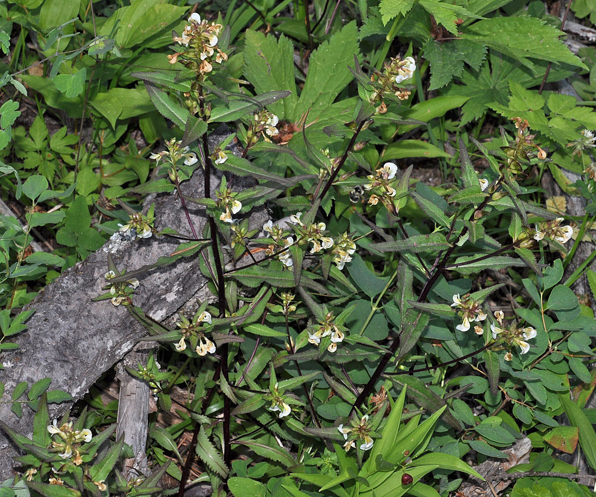
W of Hwy 95 just S. of County Line rd; 47 21 945N 116 53 234W – Benewah Co., ID – 7/2/2009 
W of Hwy 95 just S. of County Line rd; 47 21 945N 116 53 234W – Benewah Co., ID – 7/2/2009 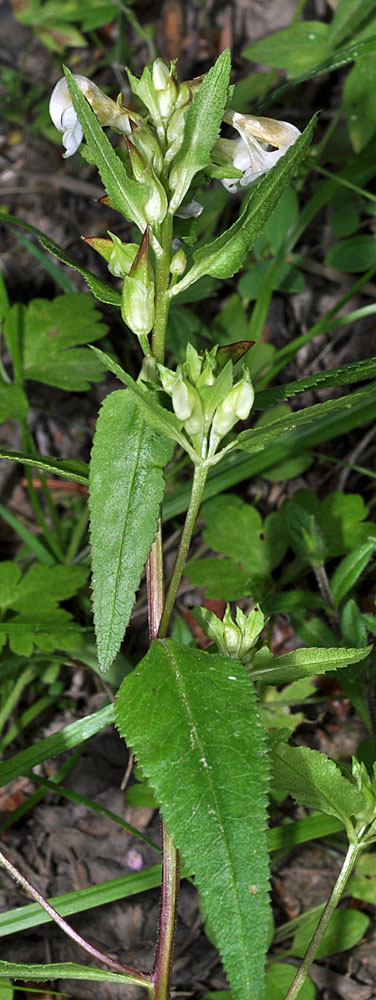
W of Hwy 95 just S. of County Line rd; 47 21 945N 116 53 234W – Benewah Co., ID – 7/2/2009 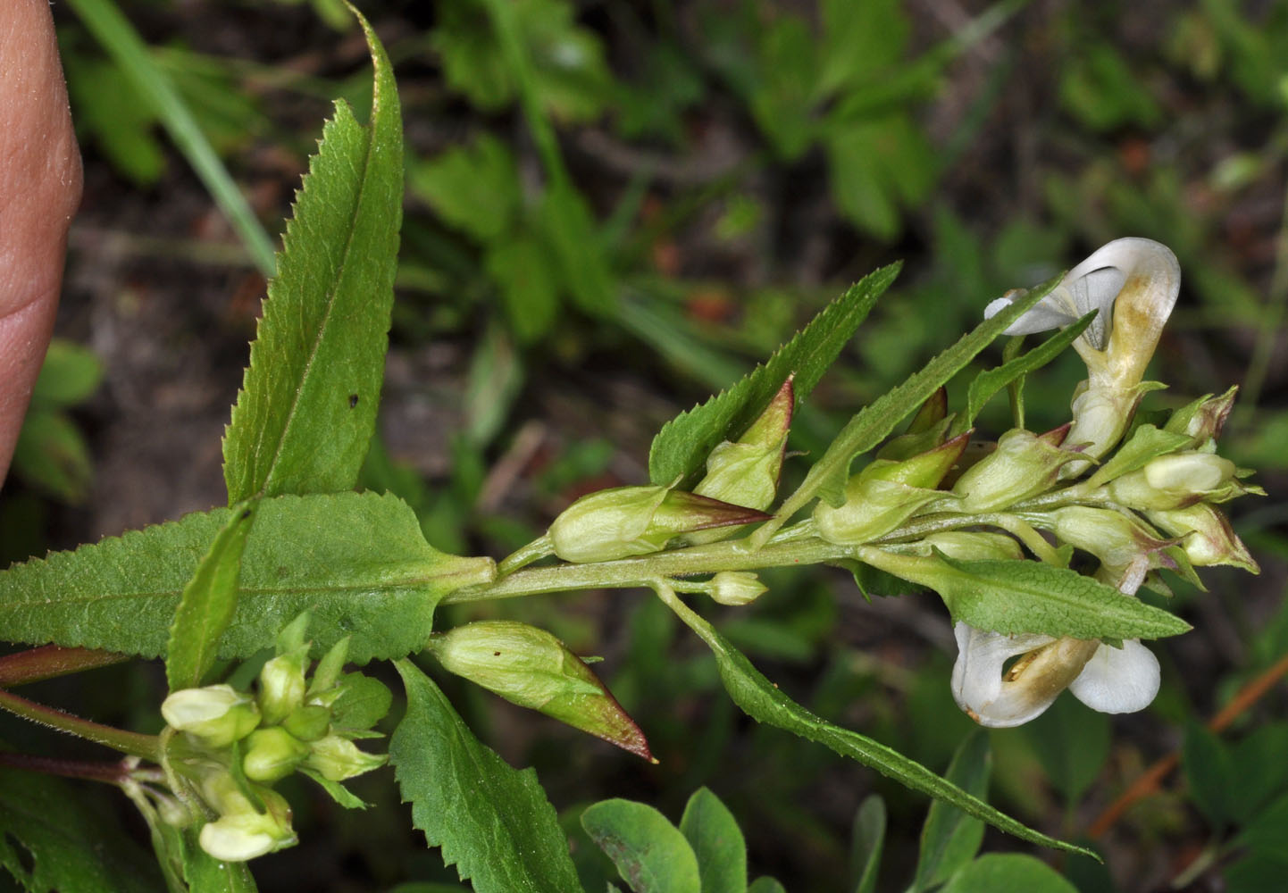
W of Hwy 95 just S. of County Line rd; 47 21 945N 116 53 234W – Benewah Co., ID – 7/2/2009 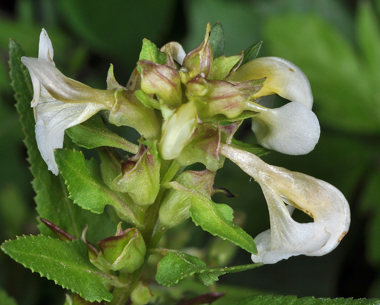
W of Hwy 95 just S. of County Line rd; 47 21 945N 116 53 234W – Benewah Co., ID – 7/2/2009 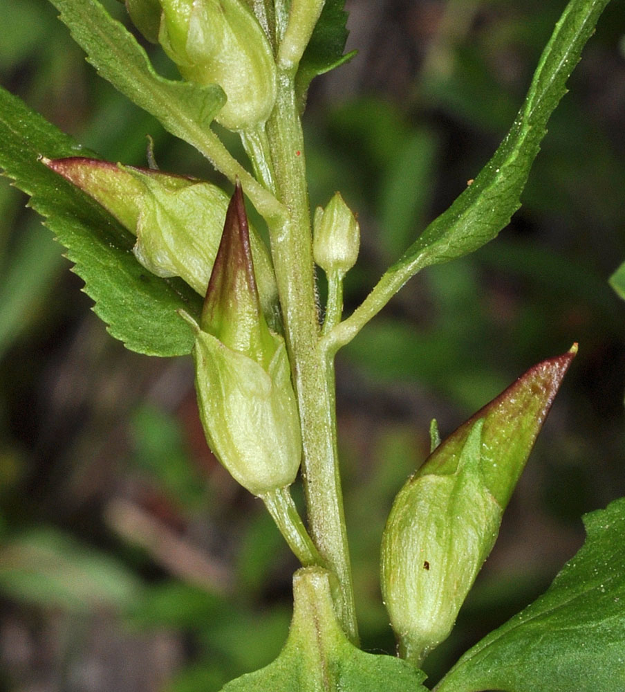
W of Hwy 95 just S. of County Line rd; 47 21 945N 116 53 234W – Benewah Co., ID – 7/2/2009 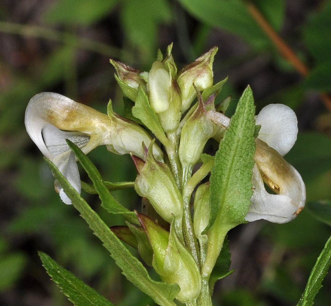
W of Hwy 95 just S. of County Line rd; 47 21 945N 116 53 234W – Benewah Co., ID – 7/2/2009 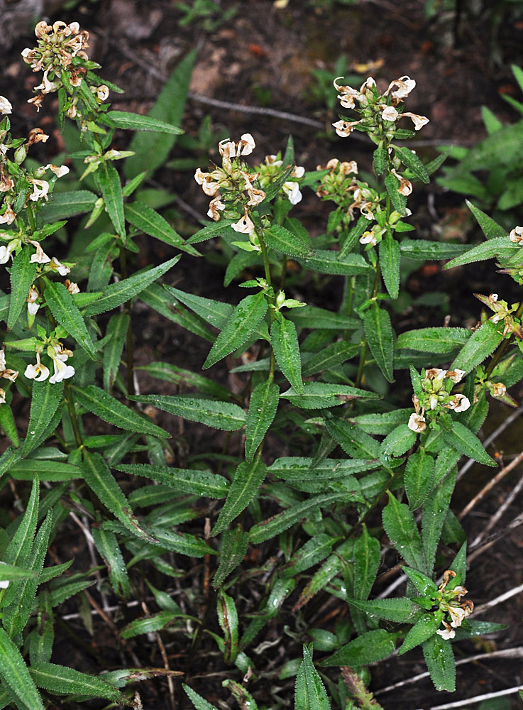
Along the Pomeroy-Grouse Flat Rd ca. 1.74 air mi SE of Mt Misery Campground; N 46.10815 W 117.45248; Asotin Co.; 7/31/2013 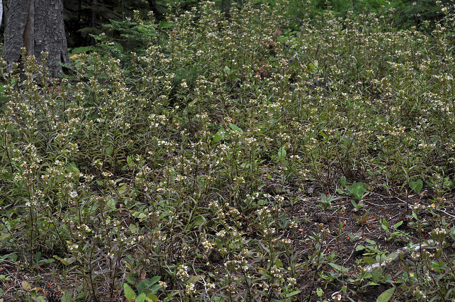
Along the Pomeroy-Grouse Flat Rd ca. 1.74 air mi SE of Mt Misery Campground; N 46.10815 W 117.45248; Asotin Co.; 7/31/2013 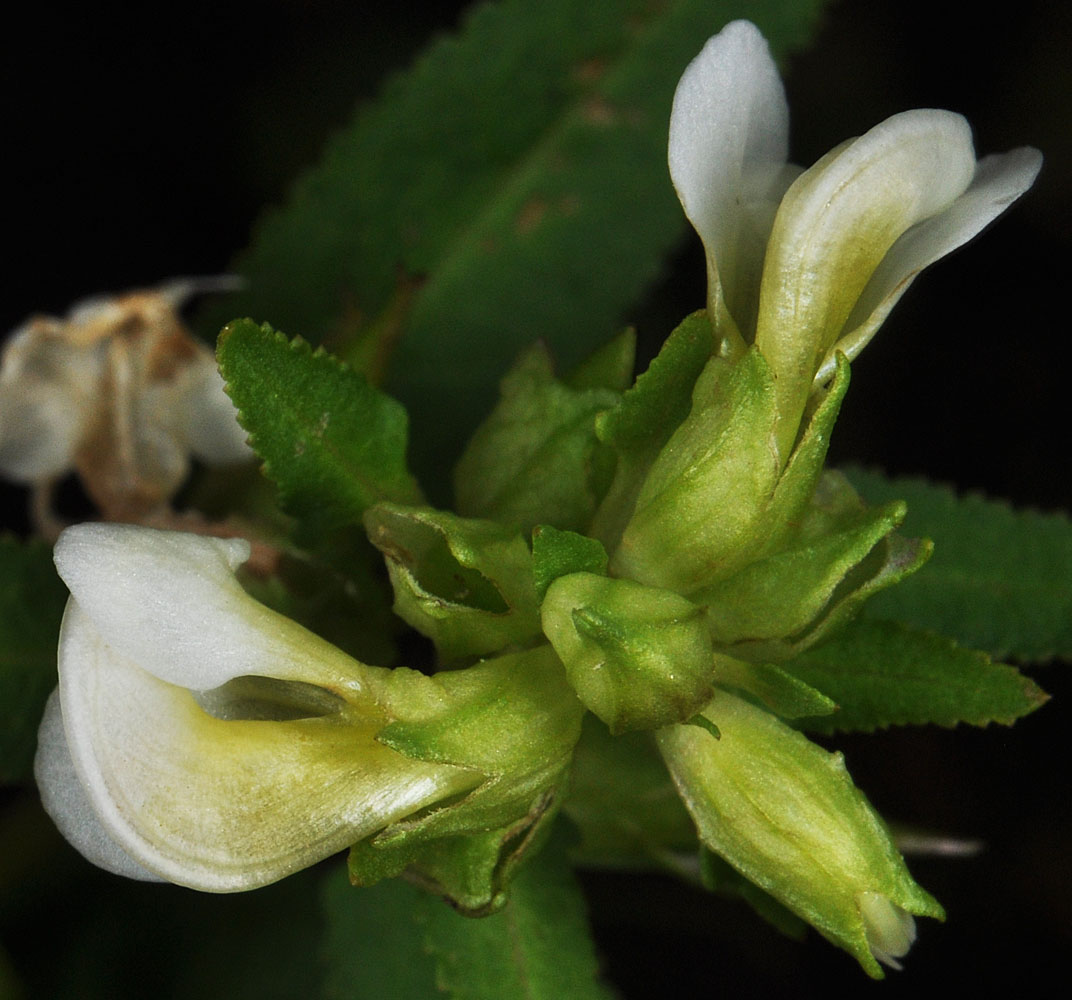
Along the Pomeroy-Grouse Flat Rd ca. 1.74 air mi SE of Mt Misery Campground; N 46.10815 W 117.45248; Asotin Co.; 7/31/2013 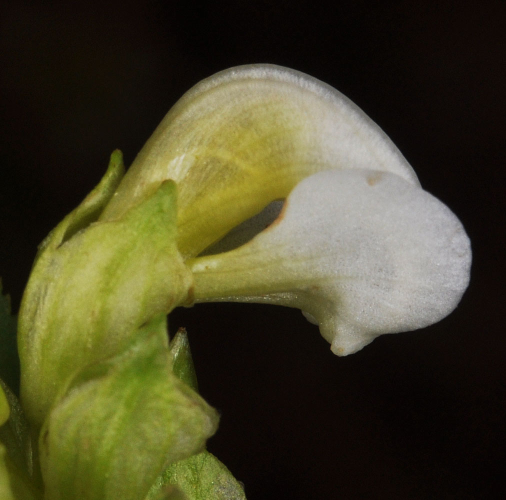
Along the Pomeroy-Grouse Flat Rd ca. 1.74 air mi SE of Mt Misery Campground; N 46.10815 W 117.45248; Asotin Co.; 7/31/2013 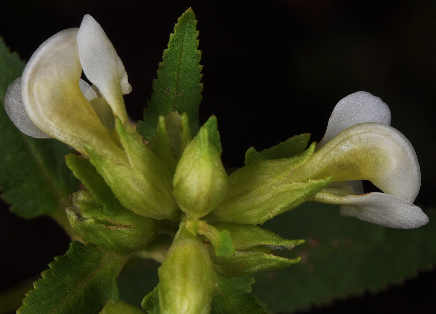
Along the Pomeroy-Grouse Flat Rd ca. 1.74 air mi SE of Mt Misery Campground; N 46.10815 W 117.45248; Asotin Co.; 7/31/2013


