| Scientific Name | Orobanche fasciculata Nutt. |
| Family | Orobanchaceae |
| Common Names | clustered broomrape |
| Eastern Washington | Native |
| Synonyms | |
| Conservation Status | |
| Notes |
Click on any image to enlarge it.
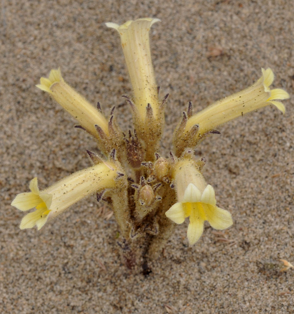
Along Hwy 243 SE of Priest Rapids Dam ca. 200 yds NW of 46.64135N 119.86538W – Grant Co., WA – 5/31/2010 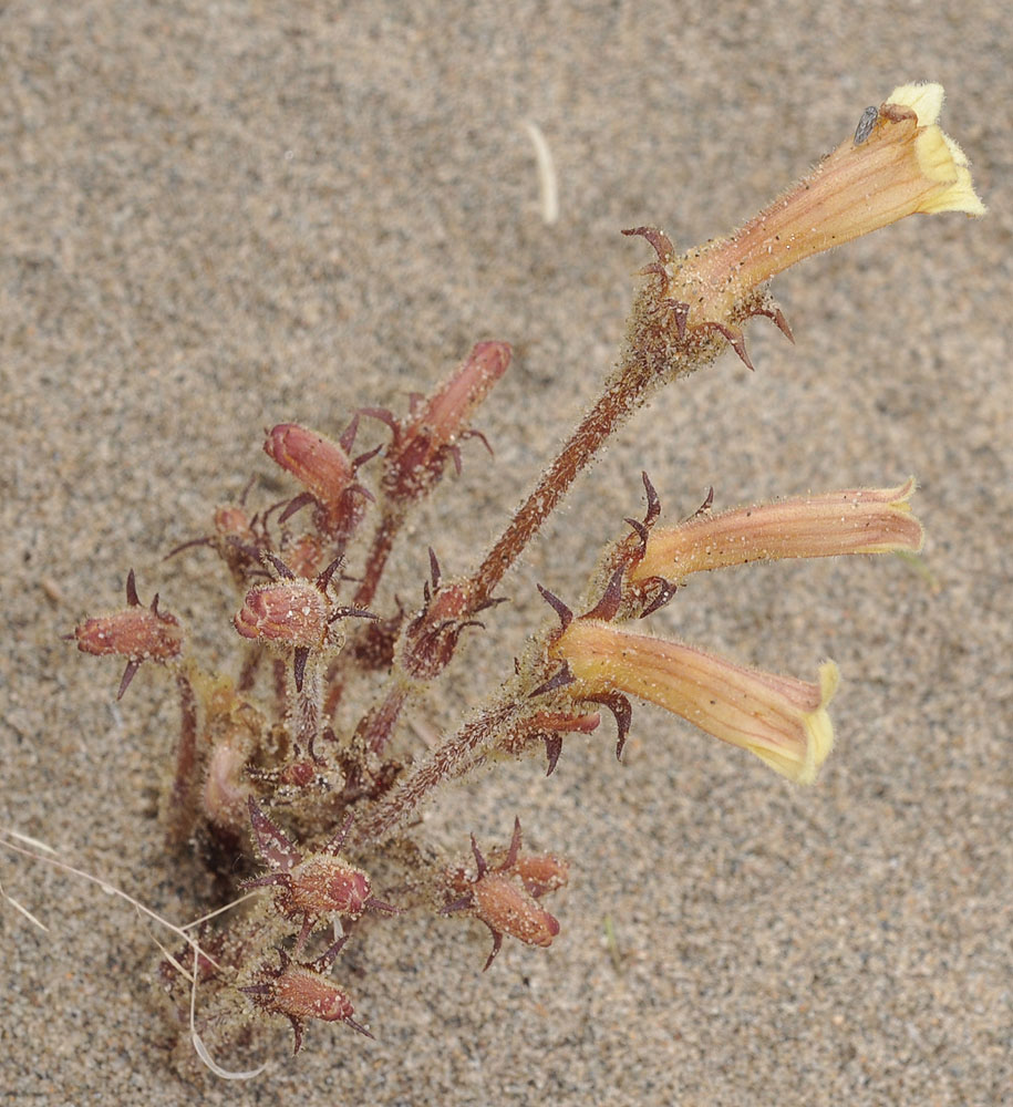
Along Hwy 243 SE of Priest Rapids Dam ca. 200 yds NW of 46.64135N 119.86538W – Grant Co., WA – 5/31/2010 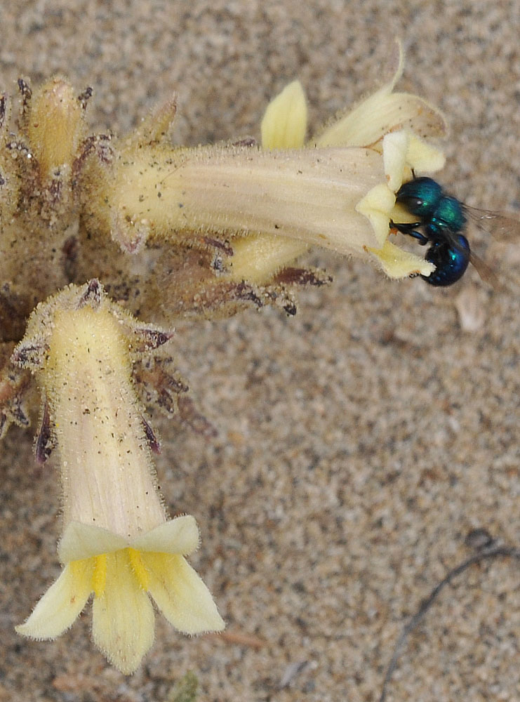
Along Hwy 243 SE of Priest Rapids Dam ca. 200 yds NW of 46.64135N 119.86538W – Grant Co., WA – 5/31/2010 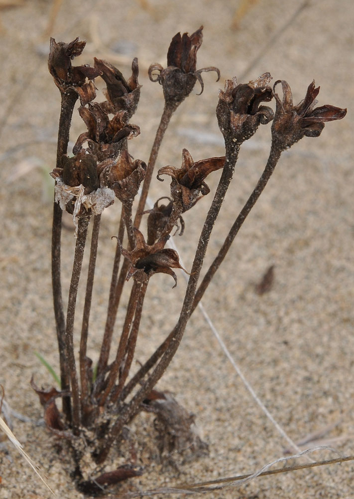
Along Hwy 243 SE of Priest Rapids Dam ca. 200 yds NW of 46.64135N 119.86538W – Grant Co., WA – 5/31/2010 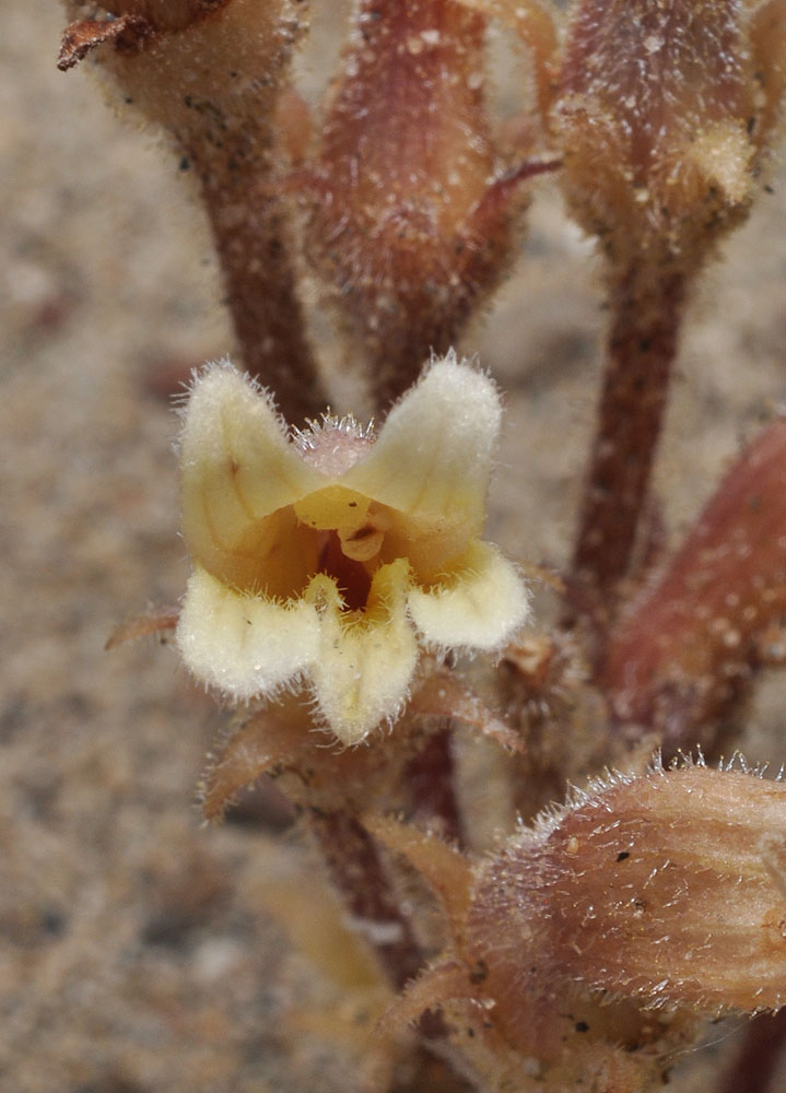
Along Hwy 243 SE of Priest Rapids Dam ca. 200 yds NW of 46.64135N 119.86538W – Grant Co., WA – 5/31/2010 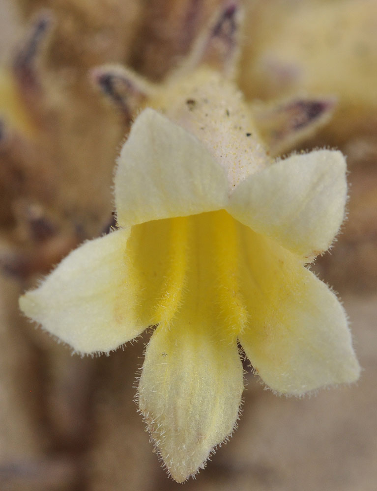
Along Hwy 243 SE of Priest Rapids Dam ca. 200 yds NW of 46.64135N 119.86538W – Grant Co., WA – 5/31/2010 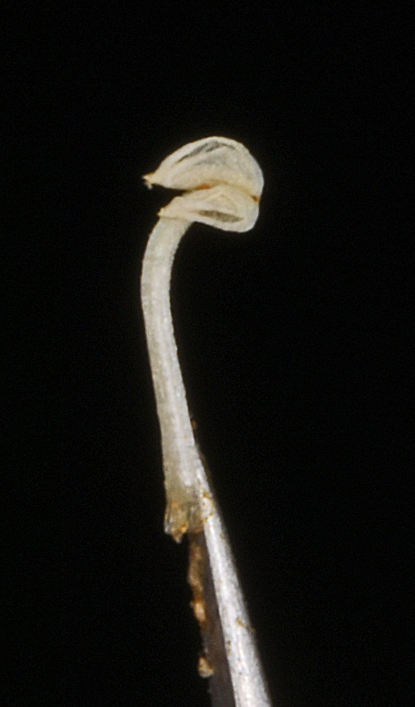
Along powerlines 0.63 air mi N of Wanapum Dam substation; sandy areas between exposed basalt rock; N 46.88928 W 119.94066; Grant Co.; 6/3/2017 
Along Hwy 243 SE of Priest Rapids Dam ca. 200 yds NW of 46.64135N 119.86538W – Grant Co., WA – 5/31/2010 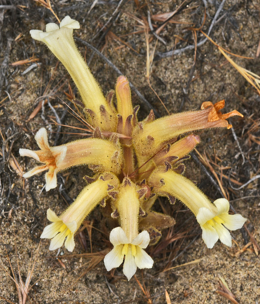
Along powerlines 0.63 air mi N of Wanapum Dam substation; sandy areas between exposed basalt rock; N 46.88928 W 119.94066; Grant Co.; 6/3/2017 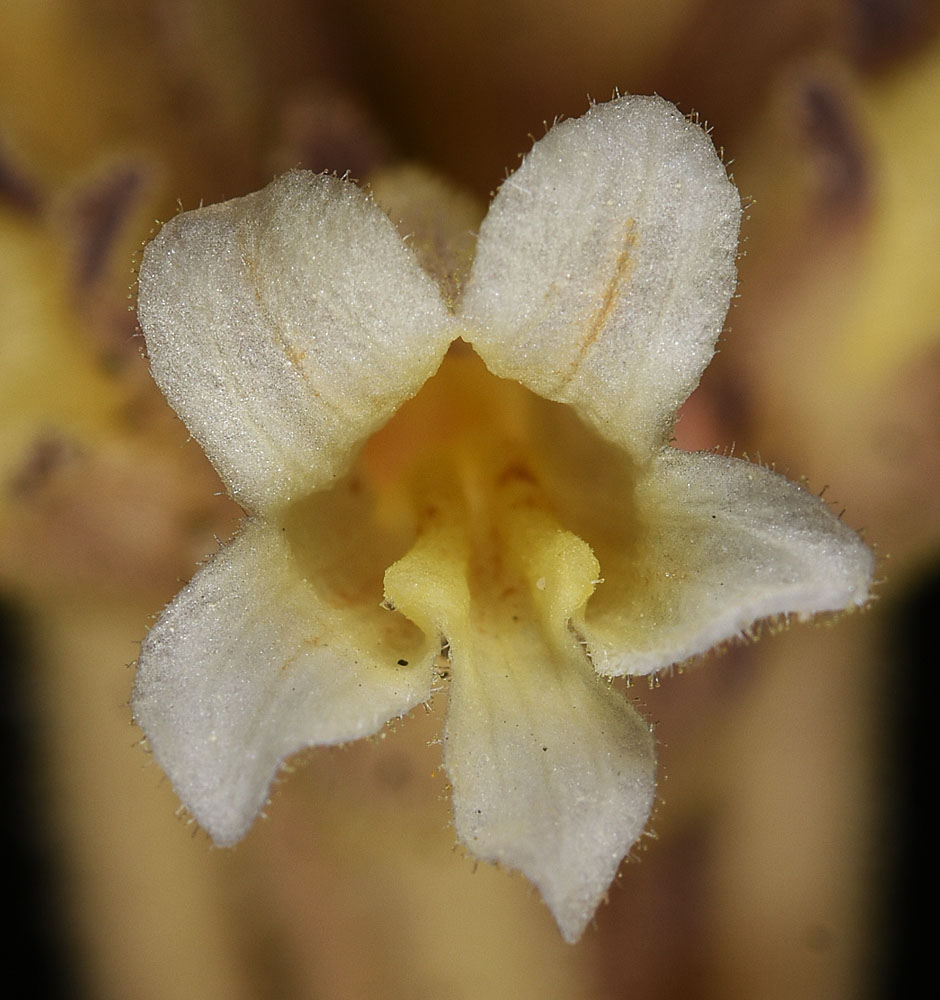
Along powerlines 0.63 air mi N of Wanapum Dam substation; sandy areas between exposed basalt rock; N 46.88928 W 119.94066; Grant Co.; 6/3/2017 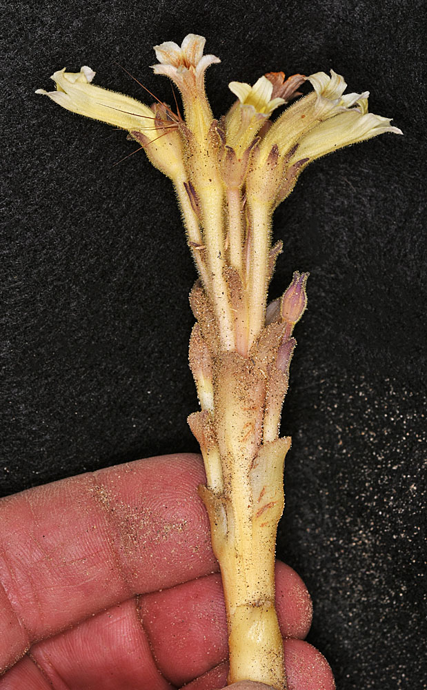
Along powerlines 0.63 air mi N of Wanapum Dam substation; sandy areas between exposed basalt rock; N 46.88928 W 119.94066; Grant Co.; 6/3/2017


