Click on any image to enlarge it.
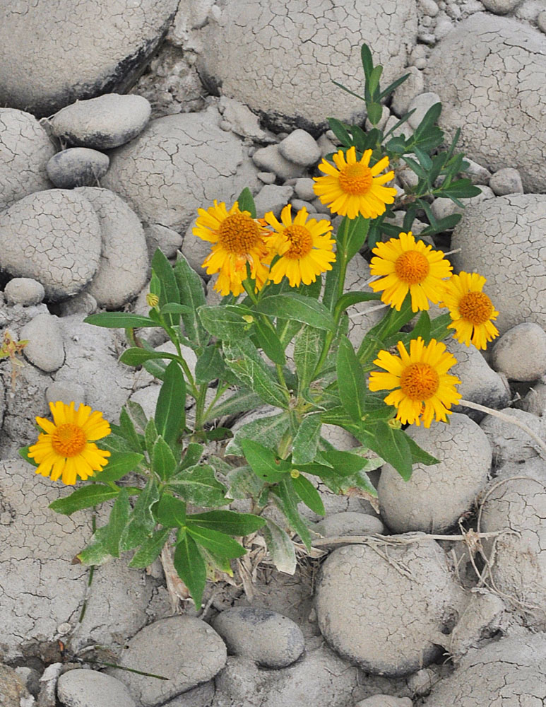 NW tip of Savage Island -River side; N of Ringold, WA; N 46.56461 W 119.32394; Franklin Co; 9/29/2014
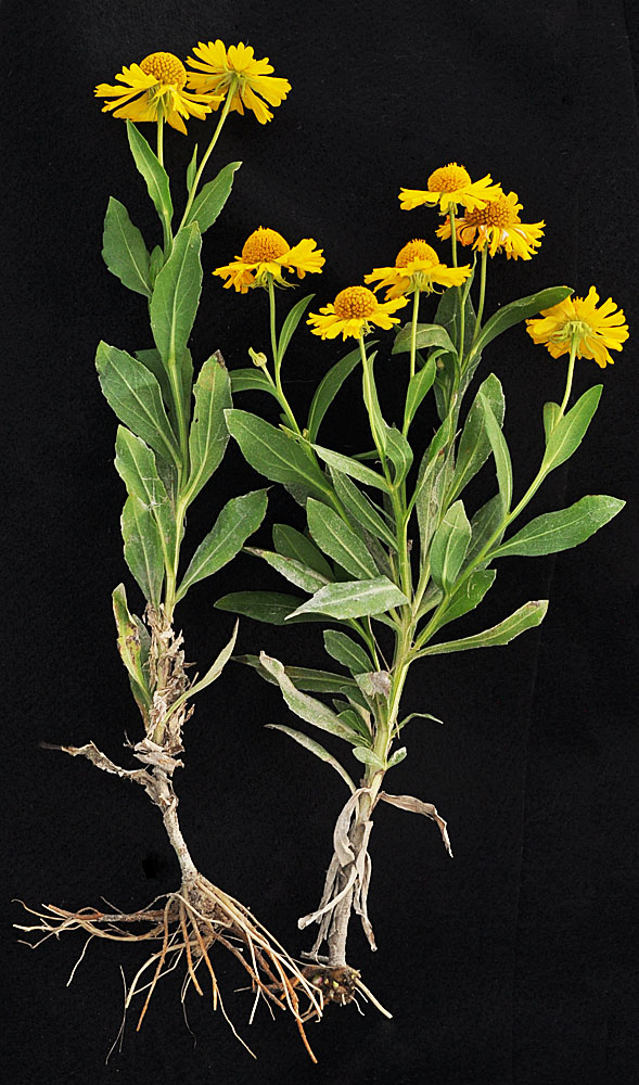 NW tip of Savage Island -River side; N of Ringold, WA; N 46.56461 W 119.32394; Franklin Co; 9/29/2014
 NW tip of Savage Island -River side; N of Ringold, WA; N 46.56461 W 119.32394; Franklin Co; 9/29/2014
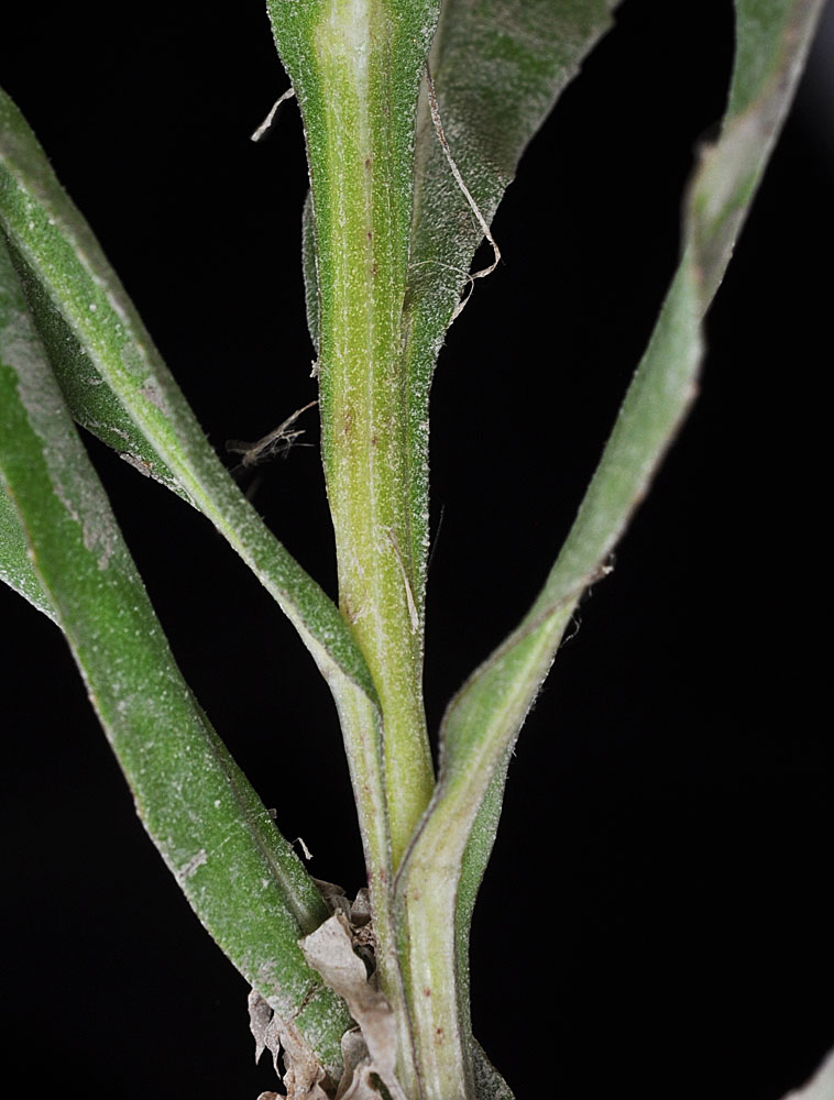 NW tip of Savage Island -River side; N of Ringold, WA; N 46.56461 W 119.32394; Franklin Co; 9/29/2014
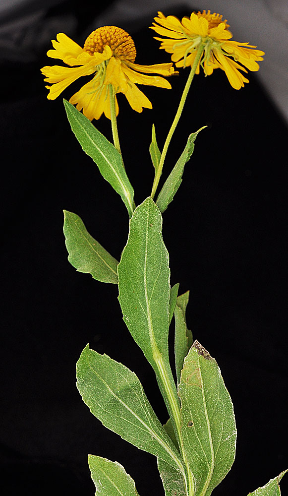 NW tip of Savage Island -River side; N of Ringold, WA; N 46.56461 W 119.32394; Franklin Co; 9/29/2014
 NW tip of Savage Island -River side; N of Ringold, WA; N 46.56461 W 119.32394; Franklin Co; 9/29/2014
 NW tip of Savage Island -River side; N of Ringold, WA; N 46.56461 W 119.32394; Franklin Co; 9/29/2014
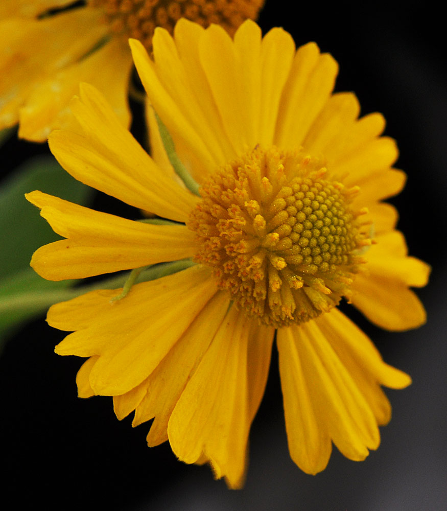 NW tip of Savage Island -River side; N of Ringold, WA; N 46.56461 W 119.32394; Franklin Co; 9/29/2014
 NW tip of Savage Island -River side; N of Ringold, WA; N 46.56461 W 119.32394; Franklin Co; 9/29/2014
 NW tip of Savage Island -River side; N of Ringold, WA; N 46.56461 W 119.32394; Franklin Co; 9/29/2014
 NW tip of Savage Island -River side; N of Ringold, WA; N 46.56461 W 119.32394; Franklin Co; 9/29/2014
 NW tip of Savage Island -River side; N of Ringold, WA; N 46.56461 W 119.32394; Franklin Co; 9/29/2014
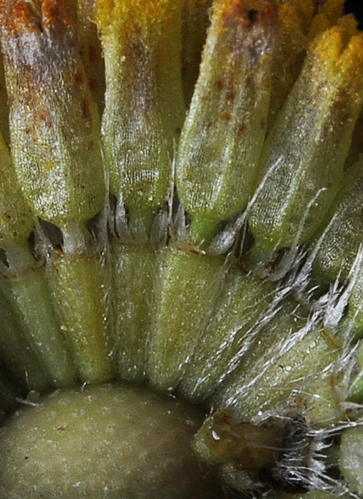 NW tip of Savage Island -River side; N of Ringold, WA; N 46.56461 W 119.32394; Franklin Co; 9/29/2014
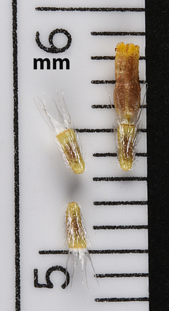 Just N of the boat ramp along the Columbia R. at Ringold, WA; N 46.50599 W 119.26157; Franklin Co., 9/20/2016
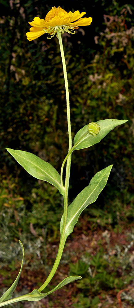 © Gerald D.. Carr
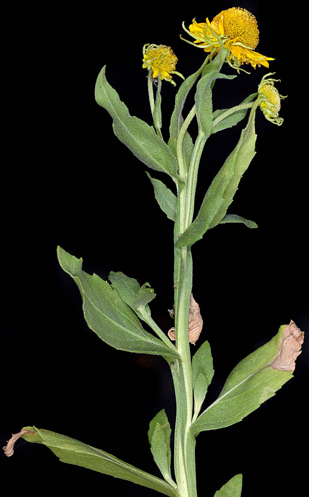
E side of mouth of Threemile Creek, 0.43 air mi. W of jct of Lone Pine Drive and Hwy. 197, 80 ft. elev., N45.60409, W121.14705, Wasco Co., OR, 9/2/2009
 © Gerald D.. Carr
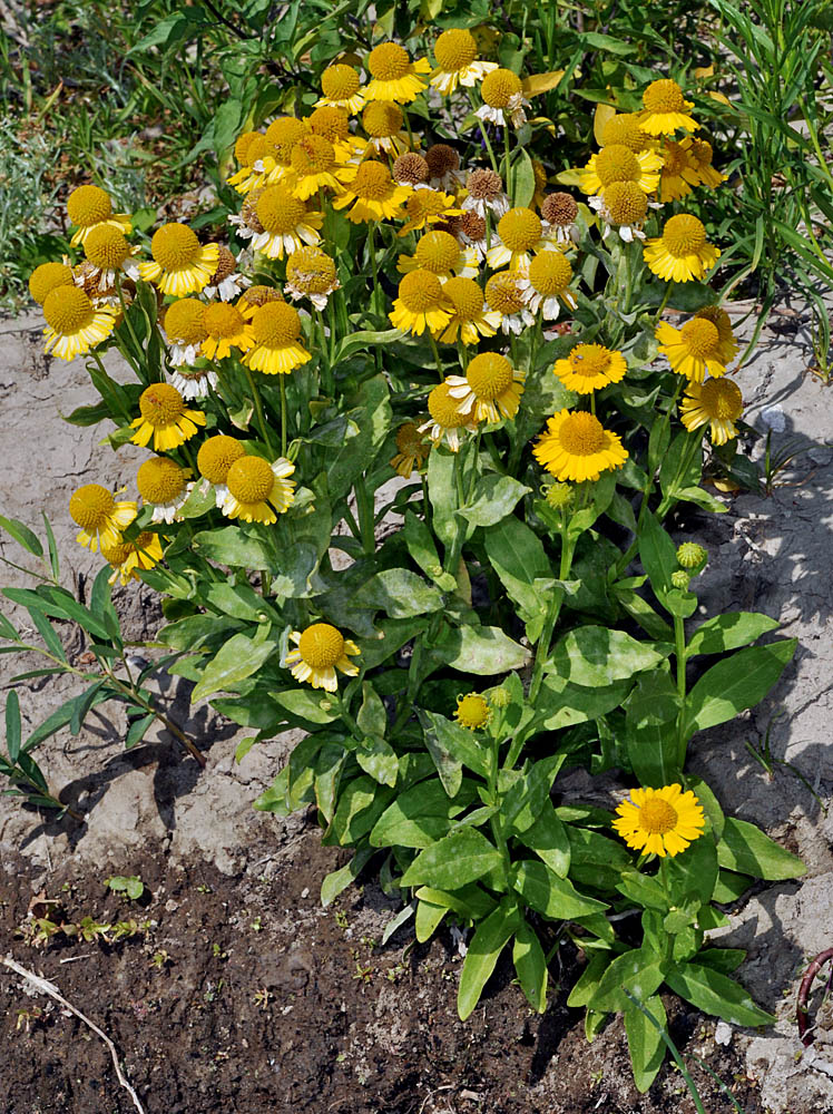
The Dalles Riverside Park, Wasco Co., OR, 9/3/2008
 © Gerald D.. Carr
E side of mouth of Threemile Creek, 0.43 air mi. W of jct of Lone Pine Drive and Hwy. 197, 80 ft. elev., N45.60409, W121.14705, Wasco Co., OR, 9/2/2009
 © Gerald D.. Carr
E side of mouth of Threemile Creek, 0.43 air mi. W of jct of Lone Pine Drive and Hwy. 197, 80 ft. elev., N45.60409, W121.14705, Wasco Co., OR, 9/2/2009
 © Gerald D.. Carr
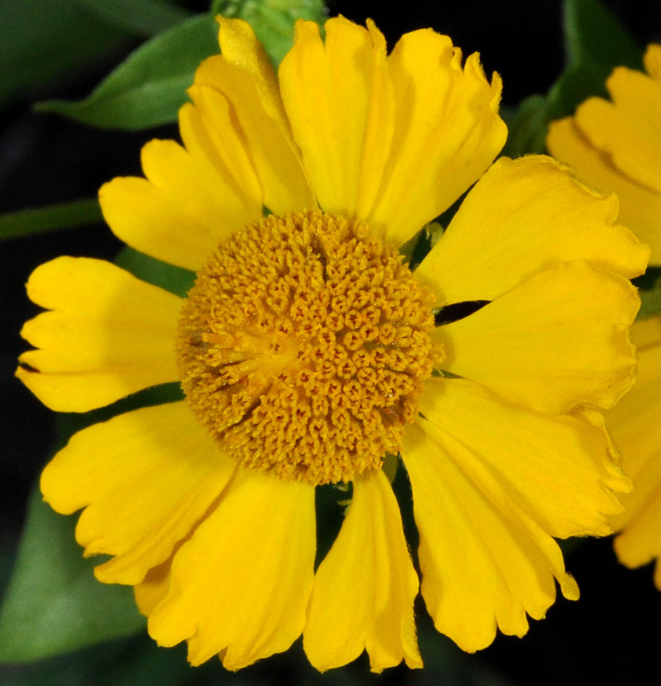
E side of mouth of Threemile Creek, 0.43 air mi. W of jct of Lone Pine Drive and Hwy. 197, 80 ft. elev., N45.60409, W121.14705, Wasco Co., OR, 9/2/2009
 © Gerald D.. Carr
E side of mouth of Threemile Creek, 0.43 air mi. W of jct of Lone Pine Drive and Hwy. 197, 80 ft. elev., N45.60409, W121.14705, Wasco Co., OR, 9/2/2009
 © Gerald D.. Carr
The Dalles Riverside Park, Wasco Co., OR, 9/3/2008


