| Scientific Name | Cryptantha pterocarya (Torr.) Greene var. pterocarya |
| Family | Boraginaceae |
| Common Names | wingnut cryptantha |
| Eastern Washington | Native |
| Synonyms | None |
| Conservation Status | |
| Notes |
Click on any image to enlarge it.
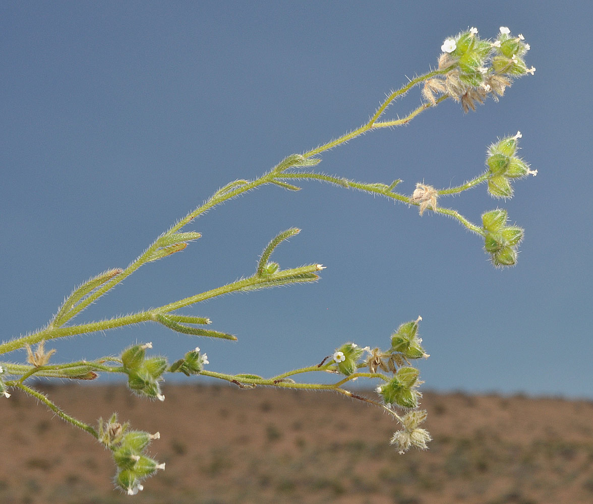
Hwy 24 NE of Vernita bridge; 46 39 010N 119 43 411W – Grant Co., WA – 5/28/2009 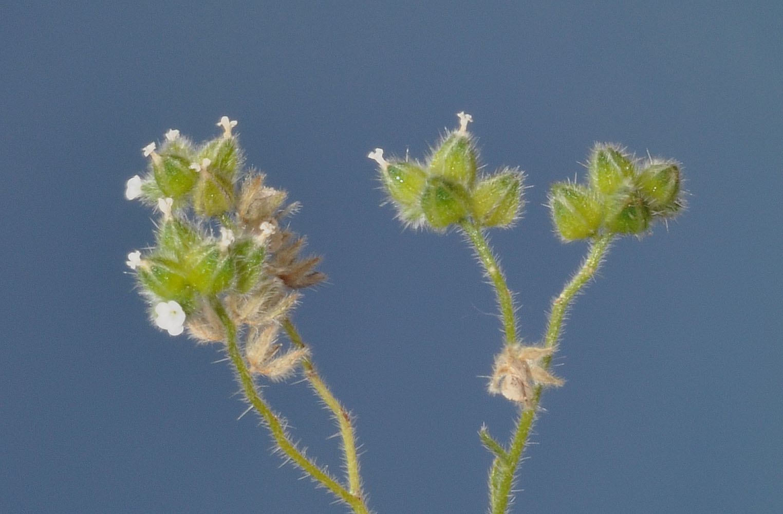
Hwy 24 NE of Vernita bridge; 46 39 010N 119 43 411W – Grant Co., WA – 5/28/2009 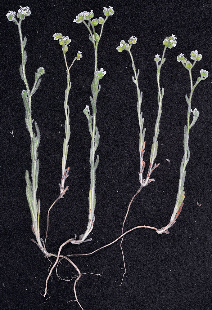
Ca. 1 mi NE of Vernita Bridge along Hwy 24; 46 39.113N 119 43.091W – Grant Co., WA – 4/26/2010 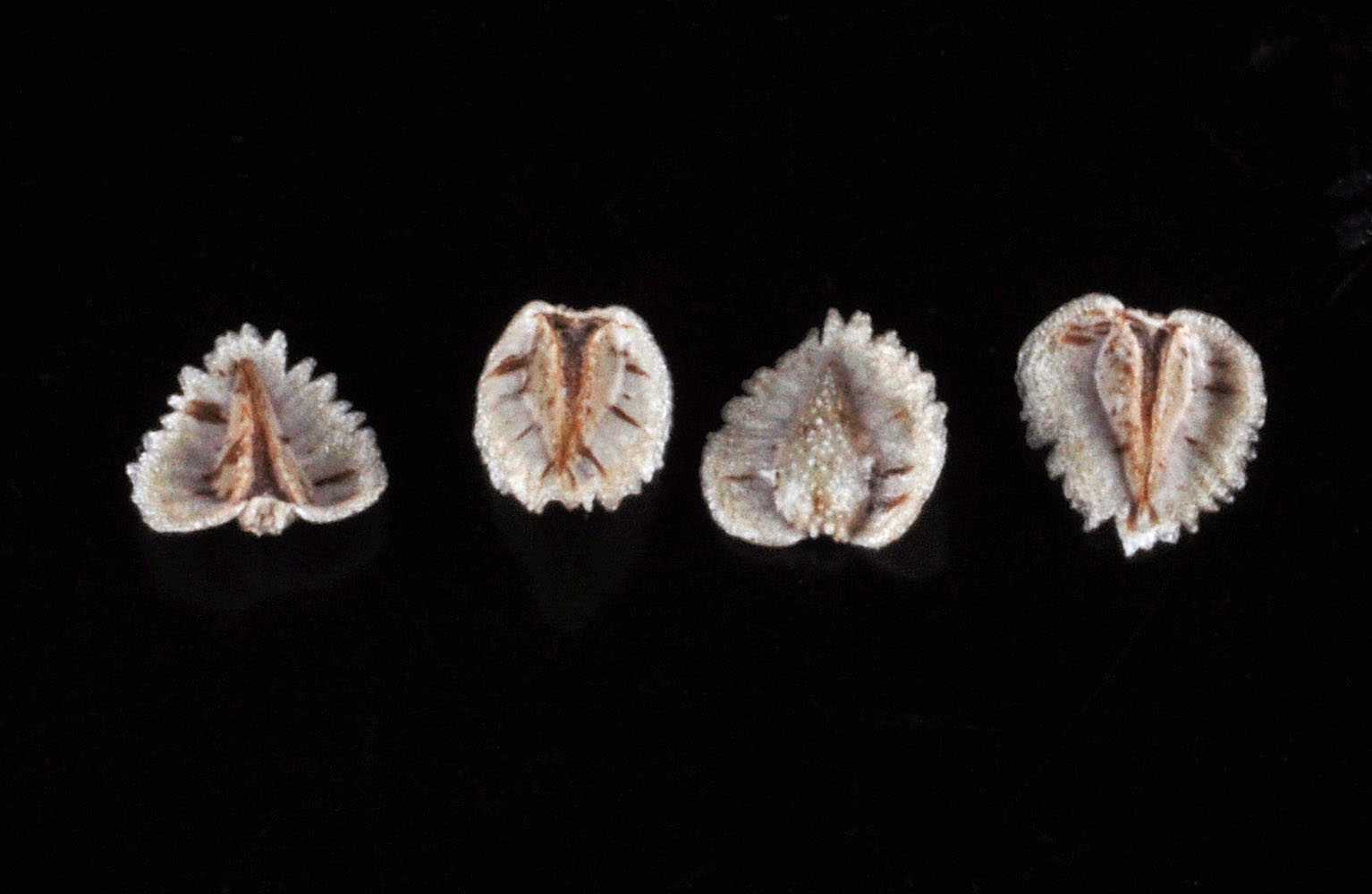
Hwy 24 NE of Vernita bridge; 46 39 010N 119 43 411W – Grant Co., WA – 5/28/2009 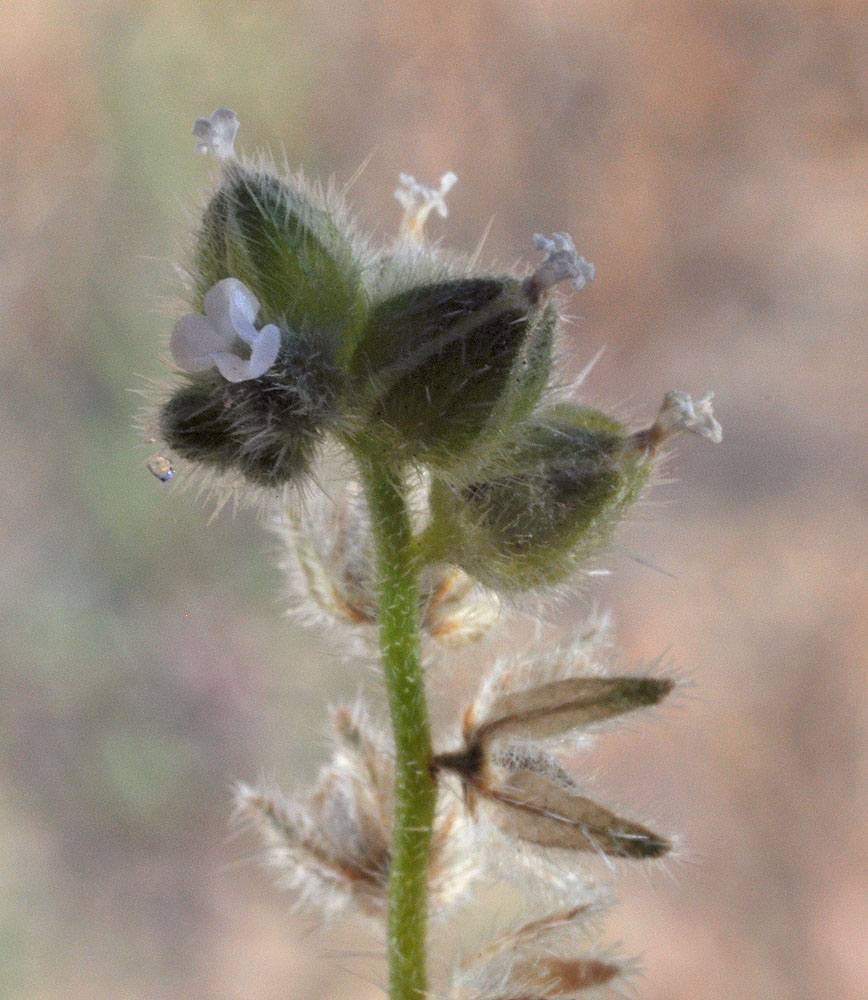
Hwy 24 NE of Vernita Bridge; 46 39 010N 119 43 411W – Grant Co., WA – 5/28/2009 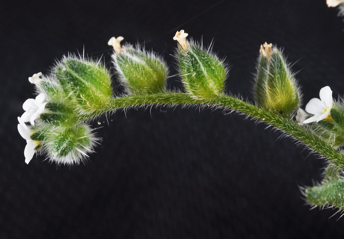
North of the rd to Hanford Reach Boat Launch under powerlines; N 46.67915 W 119.43315 – Grant Co. – 4/29/2011 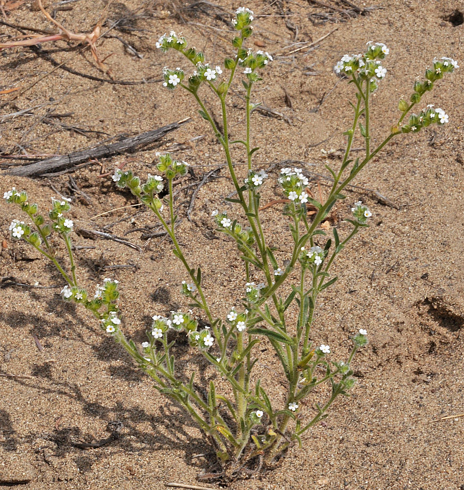
Ca. 1 mi NE of Vernita Bridge along Hwy 24; 46 39.113N 119 43.091W – Grant Co., WA – 4/26/2010 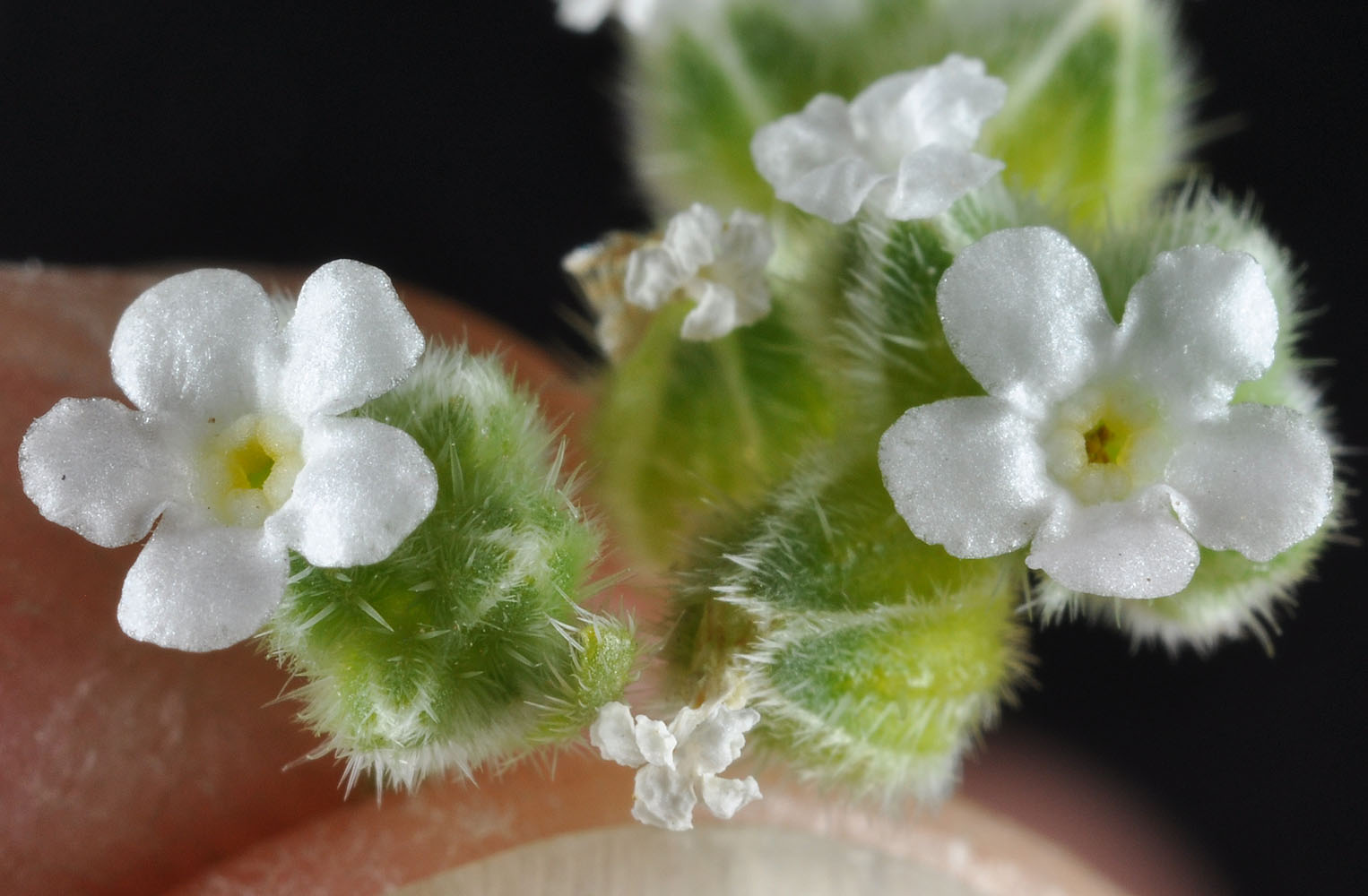
Ca. 1 mi NE of Vernita Bridge along Hwy 24; 46 39.113N 119 43.091W – Grant Co., WA – 4/26/2010 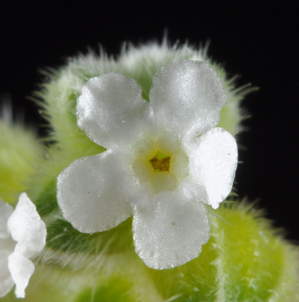
Ca. 1 mi NE of Vernita Bridge along Hwy 24; 46 39.113N 119 43.091W – Grant Co., WA – 4/26/2010 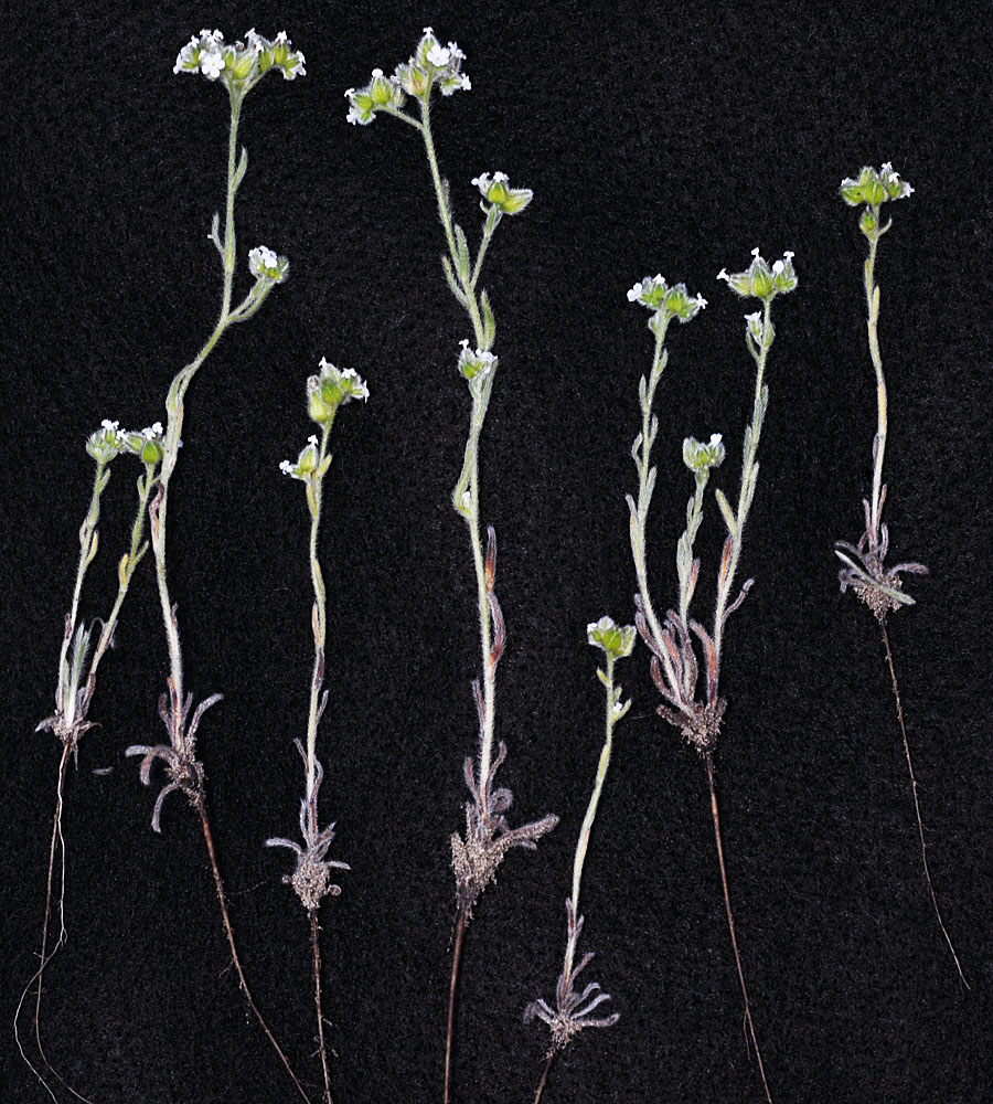
Dunes just west of Rock Creek along Hwy 14 west of Roosevelt, WA; N 45.70353 W 120.46666; Klickitat Co.; 4/12/2014 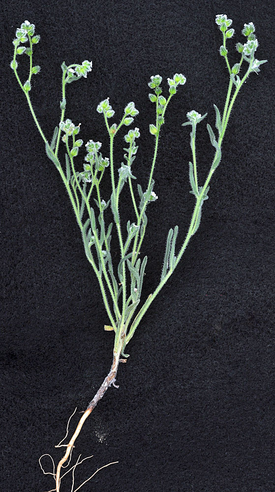
Beverly, WA along Crab Creek Rd (17 SW) 0.35 mi E of Rd T5; N 46.83093 W 119.92192; Grant Co.; 5/2/2014 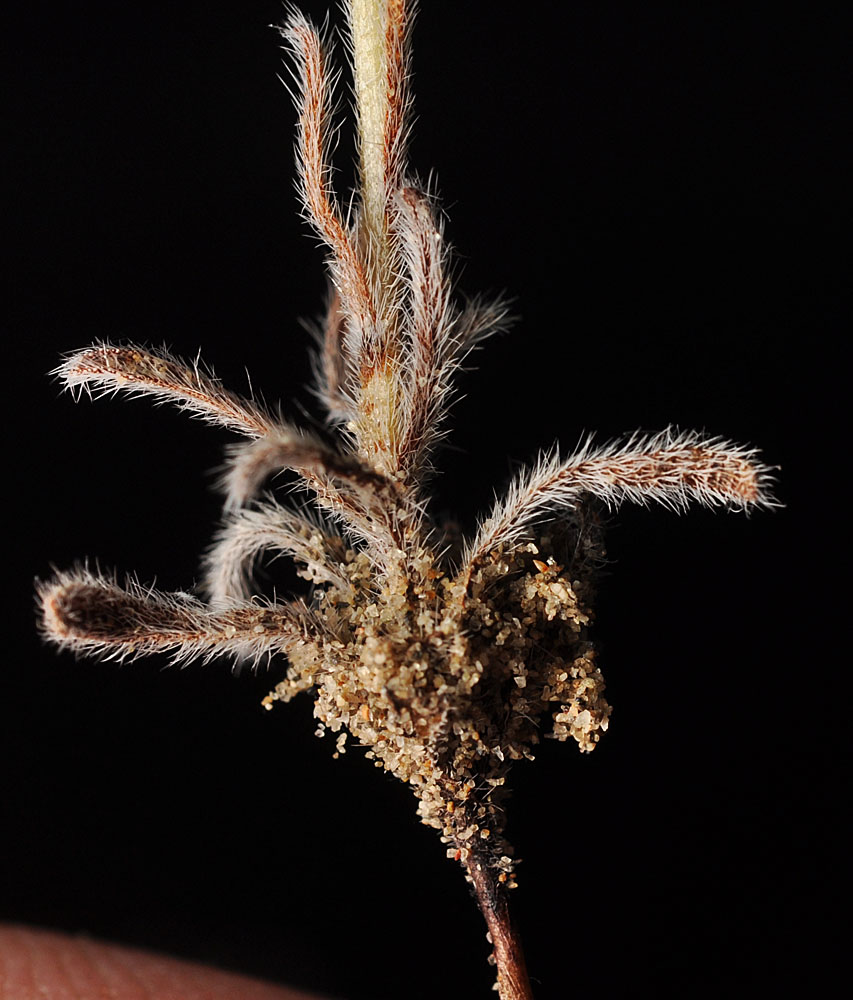
Dunes just west of Rock Creek along Hwy 14 west of Roosevelt, WA; N 45.70353 W 120.46666; Klickitat Co.; 4/12/2014 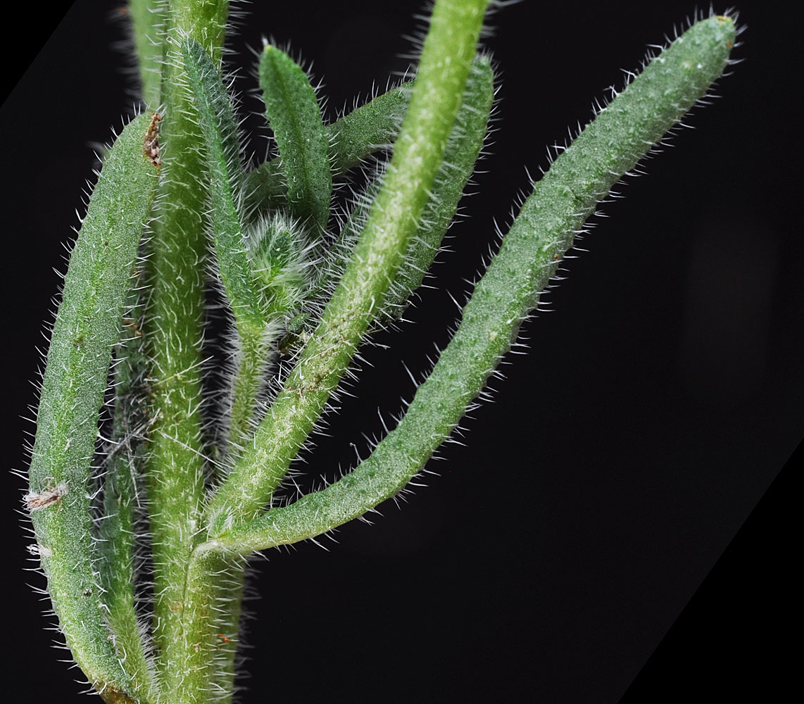
Beverly, WA along Crab Creek Rd (17 SW) 0.35 mi E of Rd T5; N 46.83093 W 119.92192; Grant Co.; 5/2/2014 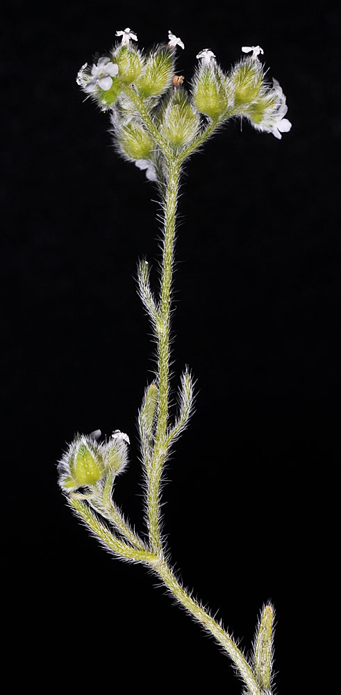
Dunes just west of Rock Creek along Hwy 14 west of Roosevelt, WA; N 45.70353 W 120.46666; Klickitat Co.; 4/12/2014 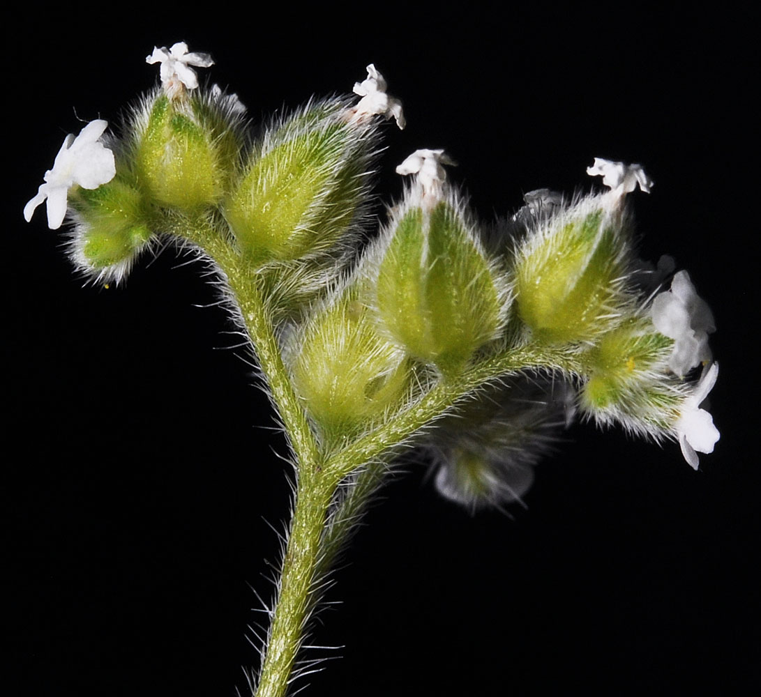
Dunes just west of Rock Creek along Hwy 14 west of Roosevelt, WA; N 45.70353 W 120.46666; Klickitat Co.; 4/12/2014 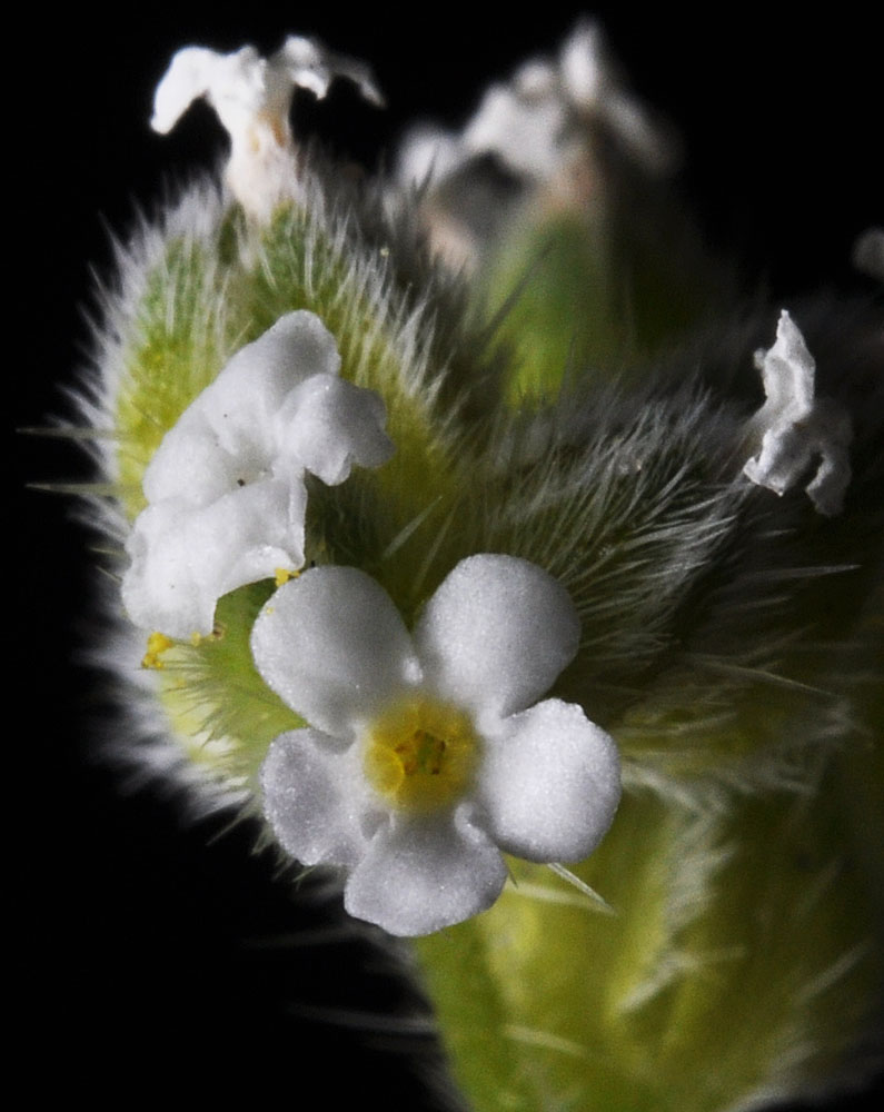
Dunes just west of Rock Creek along Hwy 14 west of Roosevelt, WA; N 45.70353 W 120.46666; Klickitat Co.; 4/12/2014


