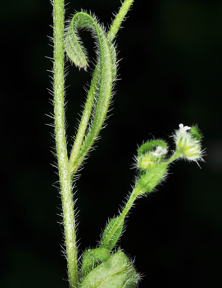
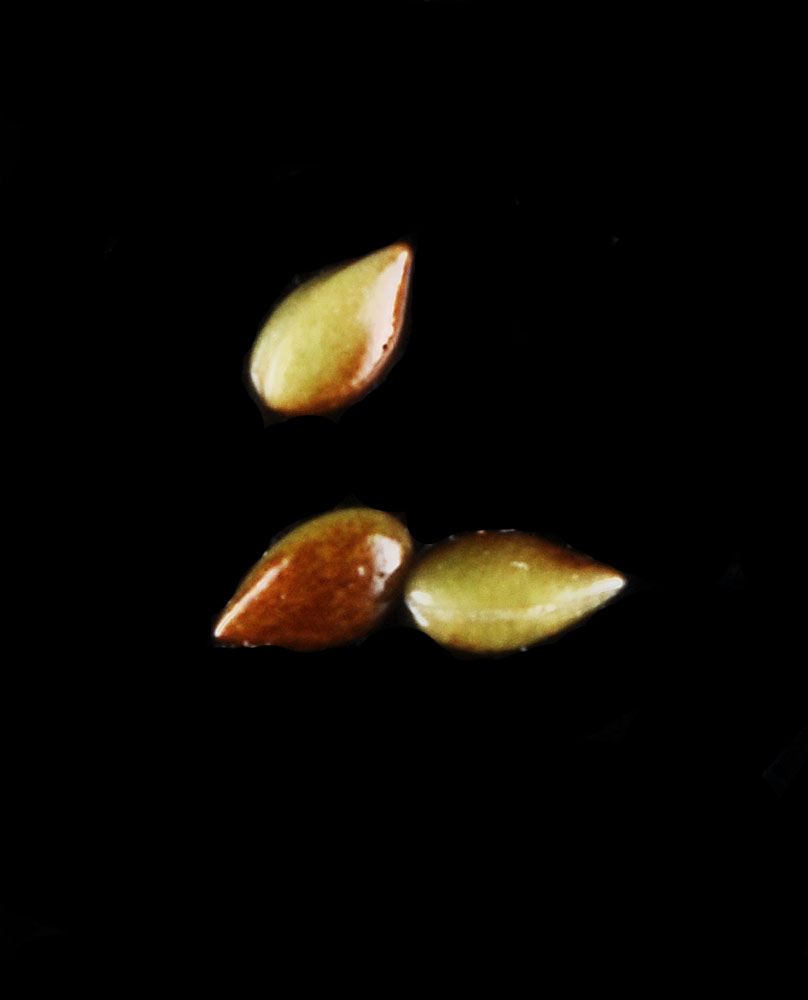
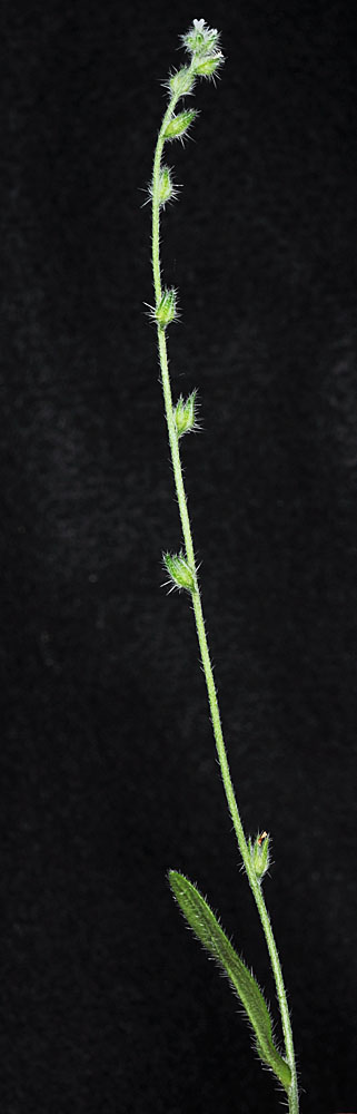
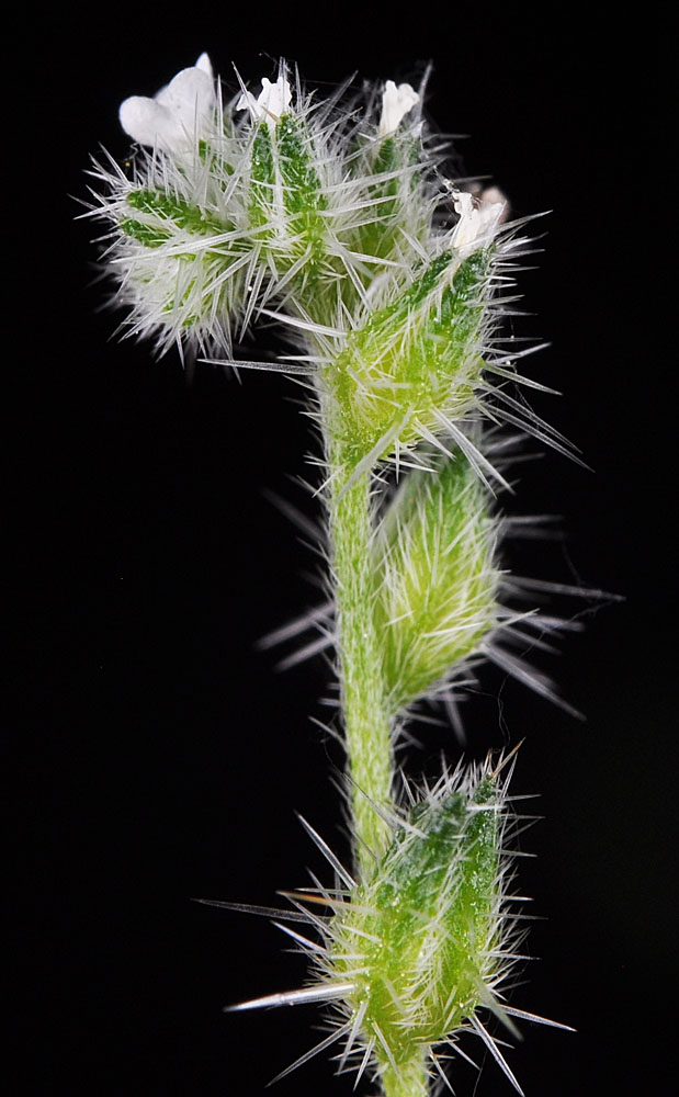
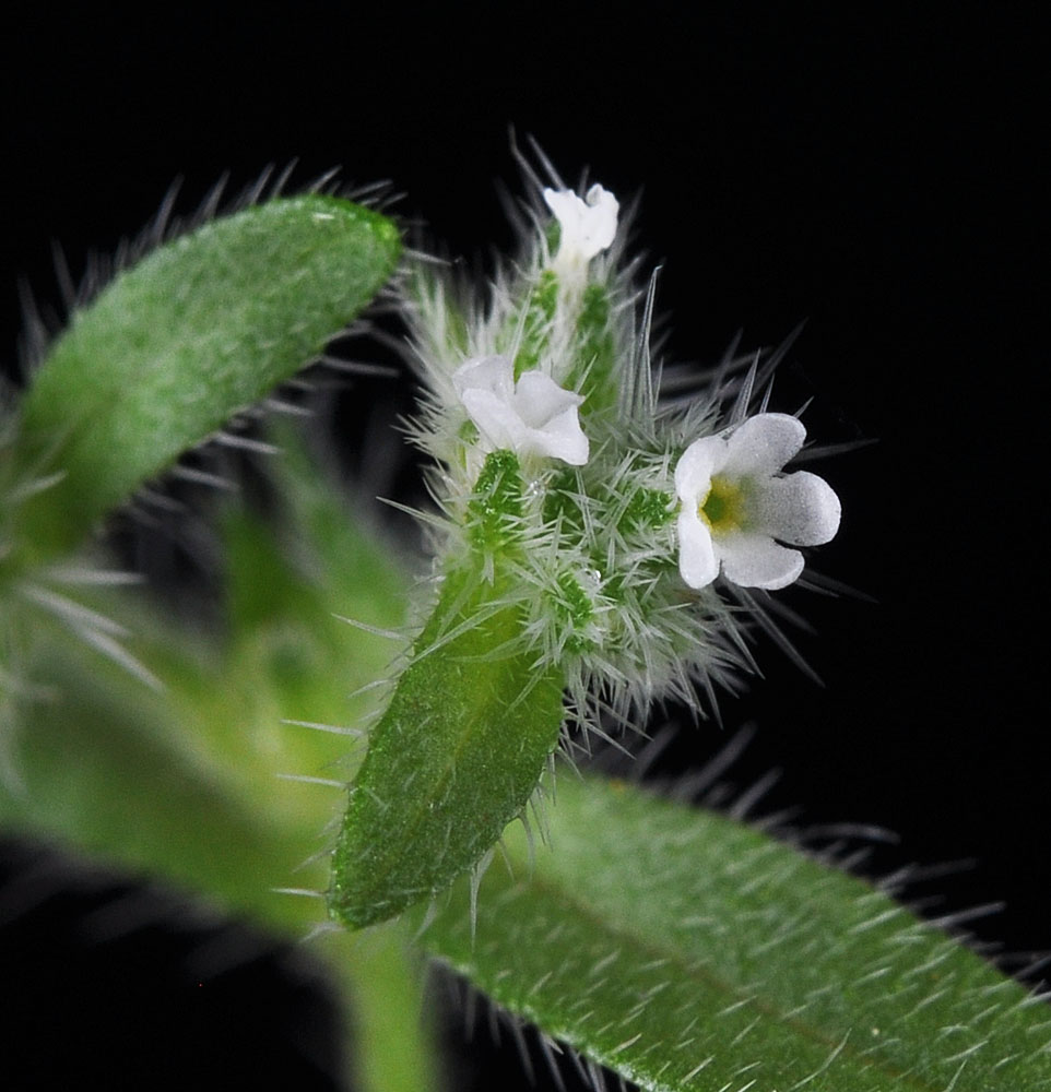
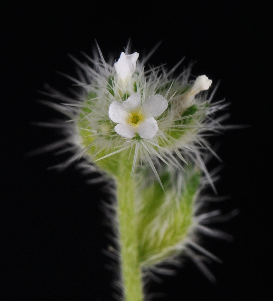
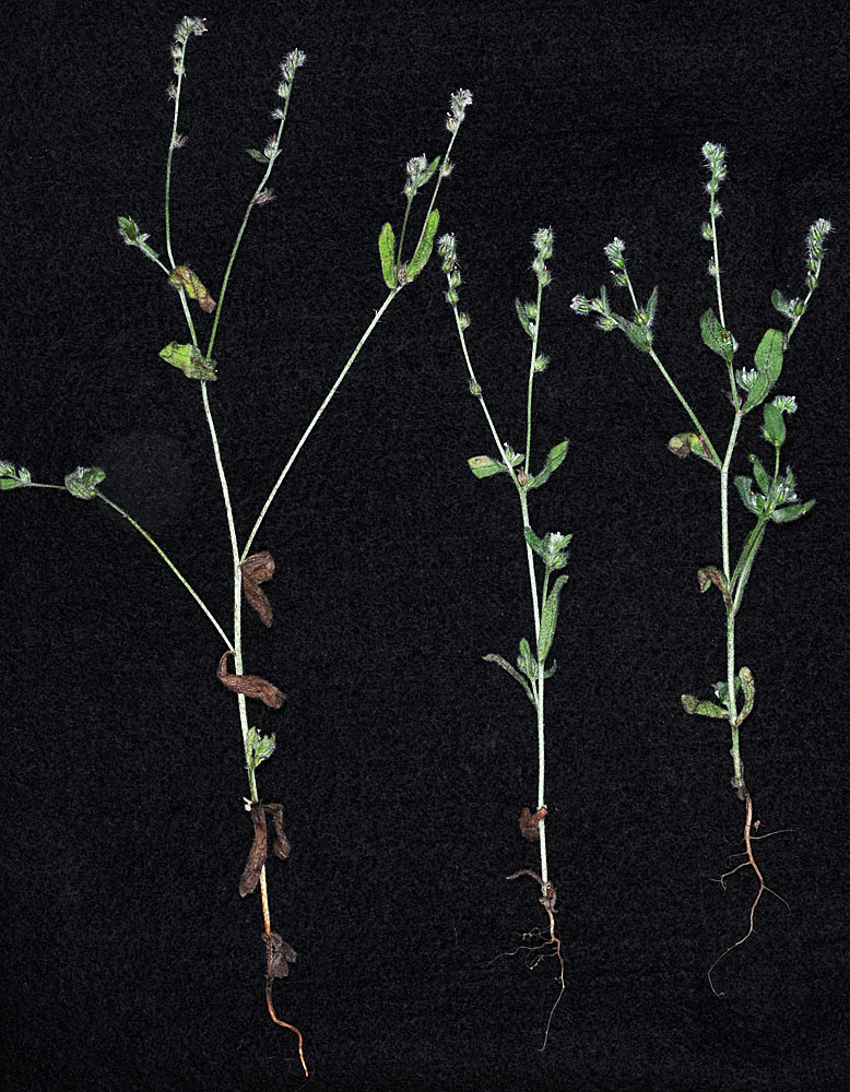
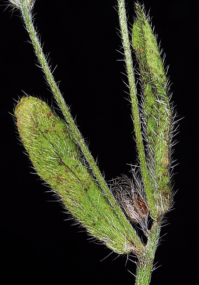
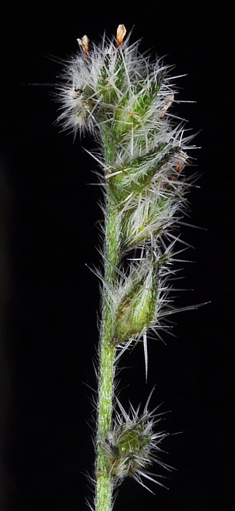
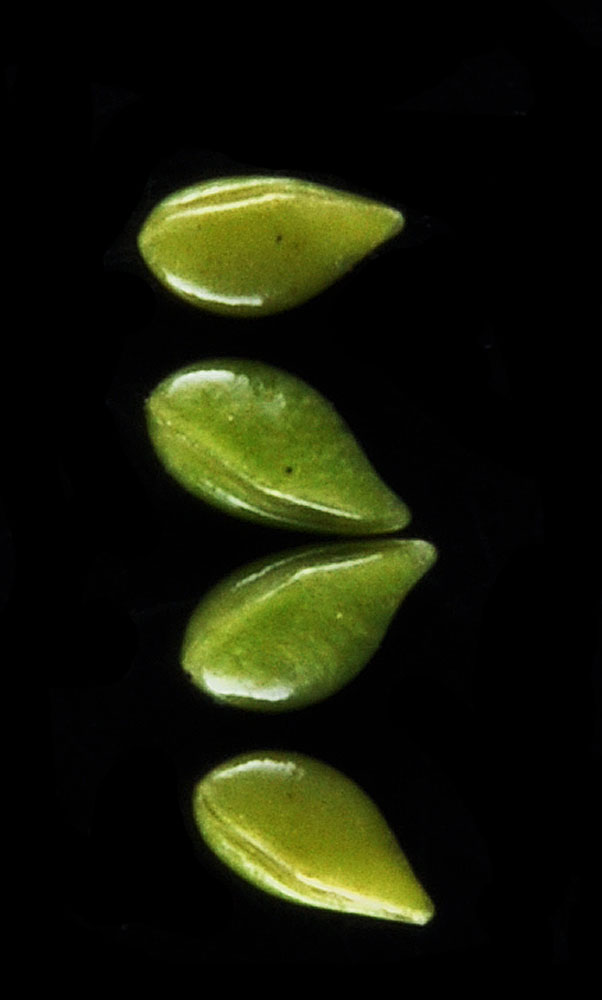
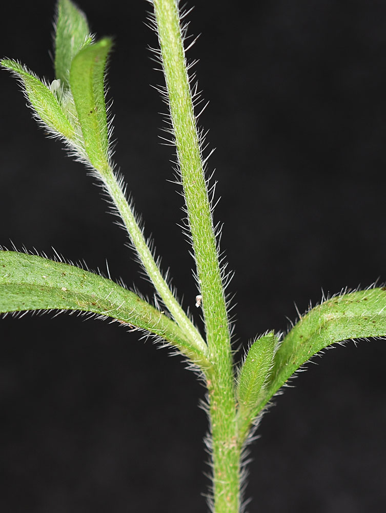
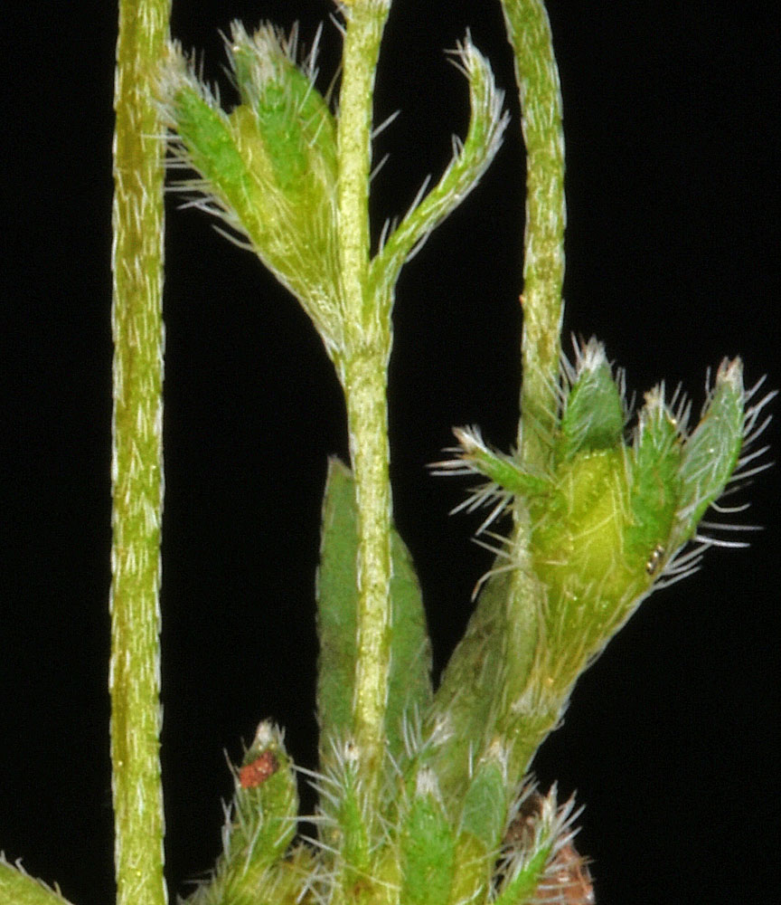
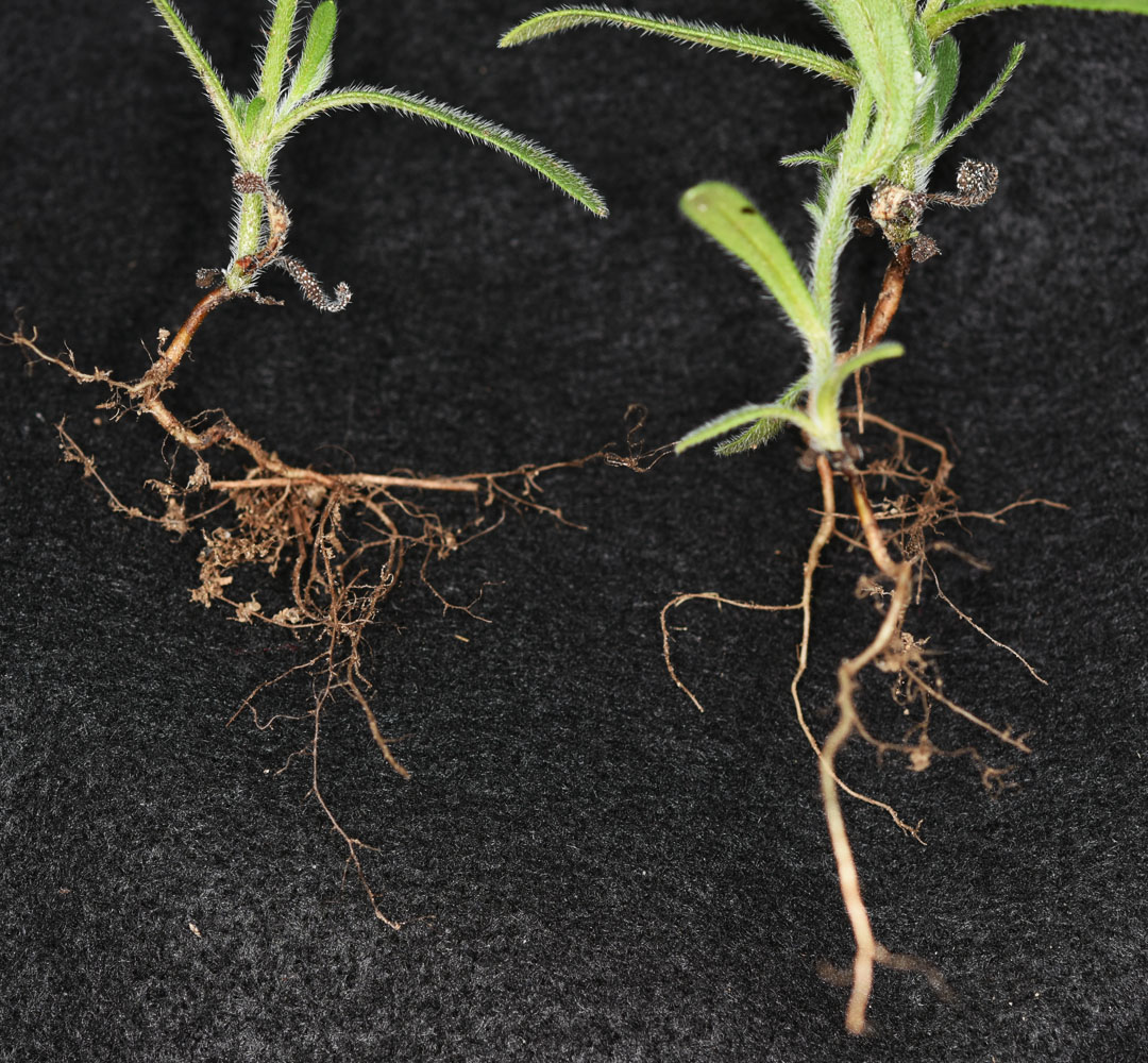
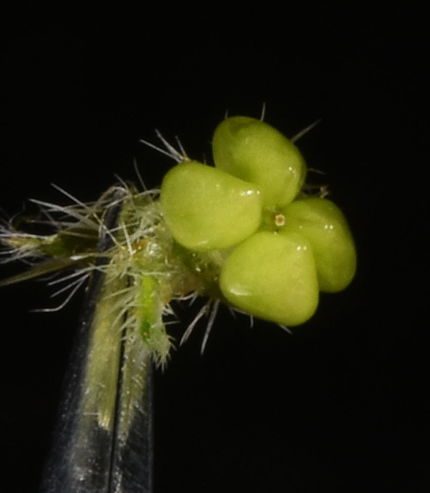
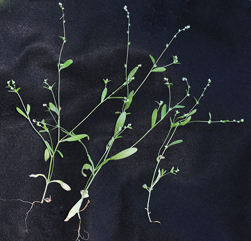
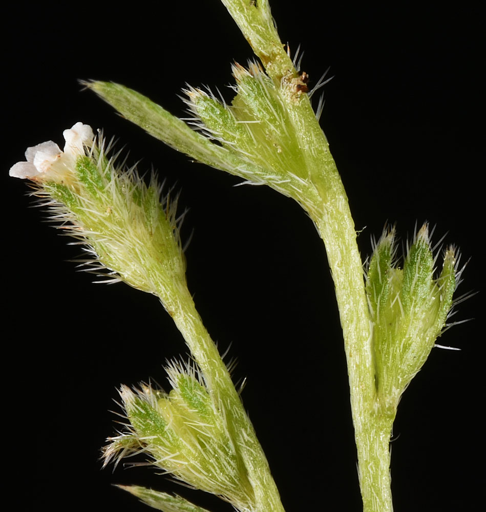
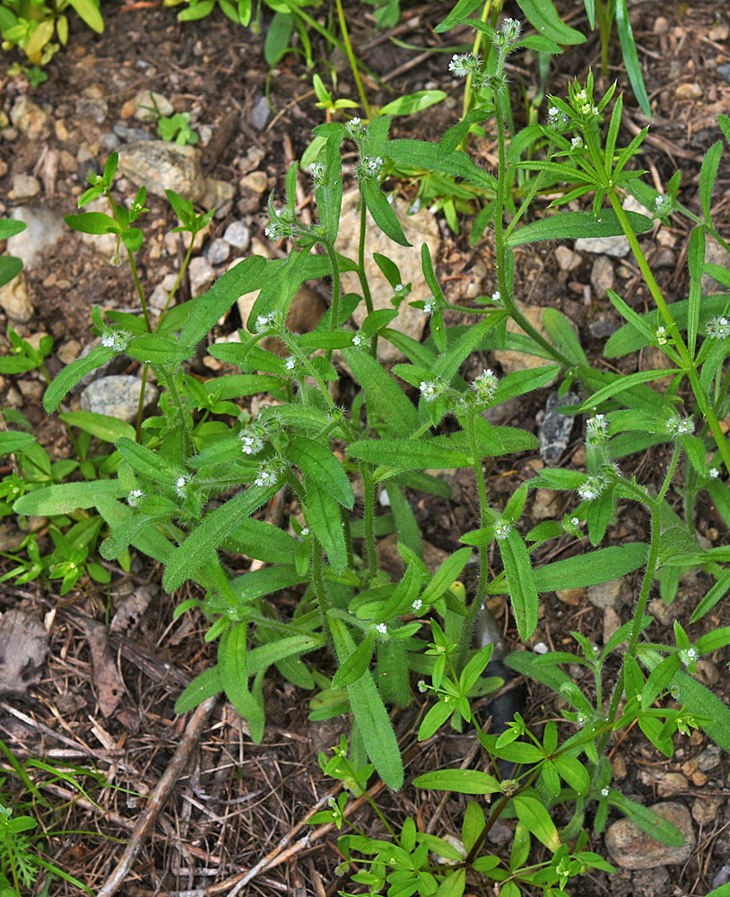
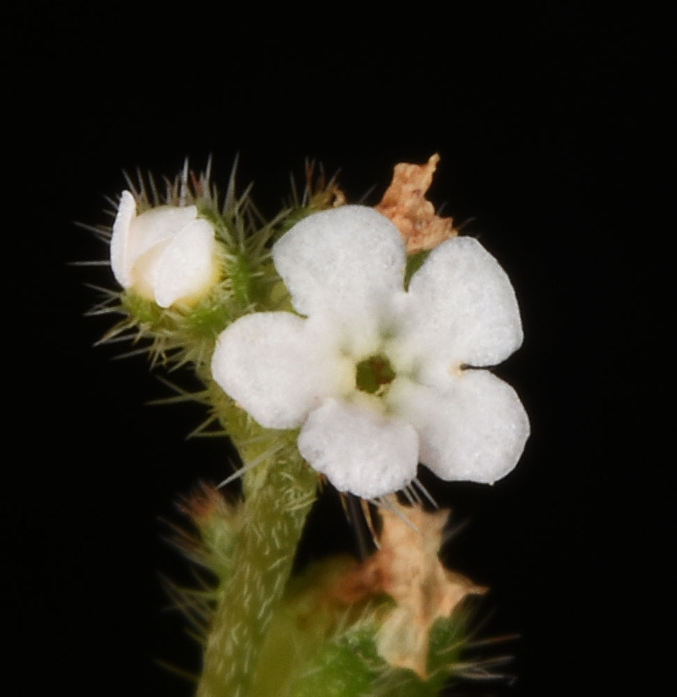
Scientific Name | Cryptantha affinis (A. Gray) Greene |
Family | Boraginaceae |
Common Names | common cryptantha, slender cryptantha, quill cat’s eye |
Eastern Washington | Native |
Conservation Status | |
Notes |
Click on any image to enlarge it.
Along the trail between Trout Lk and Emerald Lk; ca. N 48.641 W 118.258 – Ferry Co. – 7/7/2011 Along the trail between Trout Lk and Emerald Lk; ca. N 48.641 W 118.258 – Ferry Co. – 7/7/2011 Along the trail between Trout Lk and Emerald Lk; ca. N 48.641 W 118.258 – Ferry Co. – 7/7/2011 Along the trail between Trout Lk and Emerald Lk; ca. N 48.641 W 118.258 – Ferry Co. – 7/7/2011 Along the trail between Trout Lk and Emerald Lk; ca. N 48.641 W 118.258 – Ferry Co. – 7/7/2011 Along the trail between Trout Lk and Emerald Lk; ca. N 48.641 W 118.258 – Ferry Co. – 7/7/2011 Along the trail between Trout Lk and Emerald Lk; ca. N 48.641 W 118.258 – Ferry Co. – 7/7/2011 Ca. 17.7 air mi S of Dayton, WA; along N.F. Rd 64 ca. 0.35 mi S of its jct with N.F. Rd 6436; N 46.07298 W 117.89516; Columbia Co.; 7/24/2014 Ca. 17.7 air mi S of Dayton, WA; along N.F. Rd 64 ca. 0.35 mi S of its jct with N.F. Rd 6436; N 46.07298 W 117.89516; Columbia Co.; 7/24/2014 Ca. 17.7 air mi S of Dayton, WA; along N.F. Rd 64 ca. 0.35 mi S of its jct with N.F. Rd 6436; N 46.07298 W 117.89516; Columbia Co.; 7/24/2014 Ca. 17.7 air mi S of Dayton, WA; along N.F. Rd 64 ca. 0.35 mi S of its jct with N.F. Rd 6436; N 46.07298 W 117.89516; Columbia Co.; 7/24/2014 Along Sherman Ck just off Albion Hill Rd ca. 0.3 mi N of Hwy 20; 13.4 air mi E of Republic, WA; N 48.63262 W 118.44710; Ferry Co.; 6/24/2018 Spur rd off Graves Mt rd; flat landing area where rd turns sharply north; 1.53 air mi W of Graves Mt peak; N 48.63490 W 118.39249; Ferry Co.; 6/25/2018 Along Sherman Ck just off Albion Hill Rd ca. 0.3 mi N of Hwy 20; 13.4 air mi E of Republic, WA; N 48.63262 W 118.44710; Ferry Co.; 6/24/2018 Spur rd off Graves Mt rd; flat landing area where rd turns sharply north; 1.53 air mi W of Graves Mt peak; N 48.63490 W 118.39249; Ferry Co.; 6/25/2018 Along Sherman Ck just off Albion Hill Rd ca. 0.3 mi N of Hwy 20; 13.4 air mi E of Republic, WA; N 48.63262 W 118.44710; Ferry Co.; 6/24/2018 Along Sherman Ck just off Albion Hill Rd ca. 0.3 mi N of Hwy 20; 13.4 air mi E of Republic, WA; N 48.63262 W 118.44710; Ferry Co.; 6/24/2018 Spur rd off Graves Mt rd; flat landing area where rd turns sharply north; 1.53 air mi W of Graves Mt peak; N 48.63490 W 118.39249; Ferry Co.; 6/25/2018 Spur rd off Graves Mt rd; flat landing area where rd turns sharply north; 1.53 air mi W of Graves Mt peak; N 48.63490 W 118.39249; Ferry Co.; 6/25/2018