| Scientific Name | Comandra umbellata (L.) Nutt. |
| Family | Santalaceae |
| Common Names | bastard toad flax |
| Eastern Washington | Native |
| Synonyms | |
| Conservation Status | |
| Notes |
Click on any image to enlarge it.
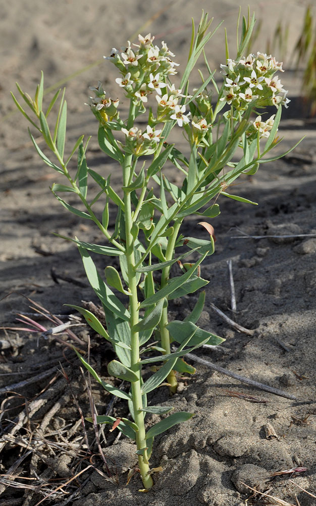
Juniper Dunes area; 300 yds S of 46 25 719N 118 49 534W – Franklin Co., WA – 5/28/2009 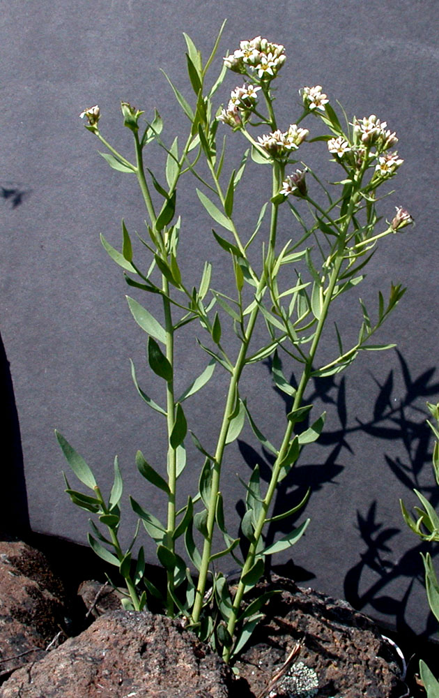
Top of large hill at the bottem end of Spring Canyon along Hwy 231 – Lincoln Co., WA – 4/24/2004 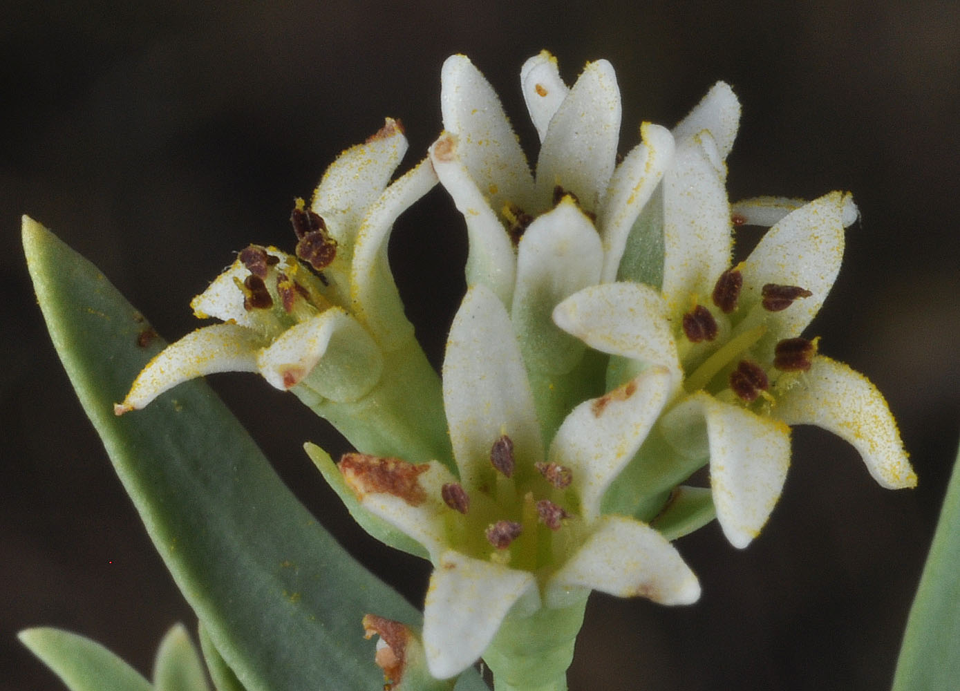
Juniper Dunes area; 300 yds S of 46 25 719N 118 49 534W – Franklin Co., WA – 5/28/2009 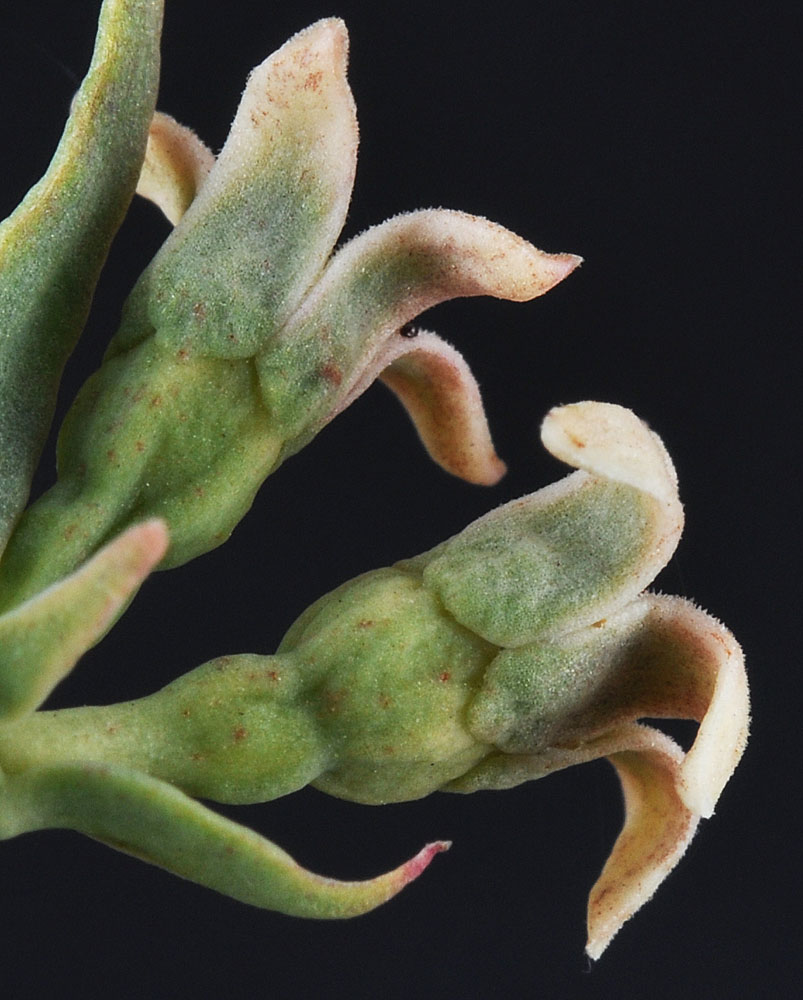
Along Hwy L-SW NW of Vernita Bridge on bluff above river; E of road; N 46.651246 W 119.742420 – Grant Co., WA – 5/29/2011 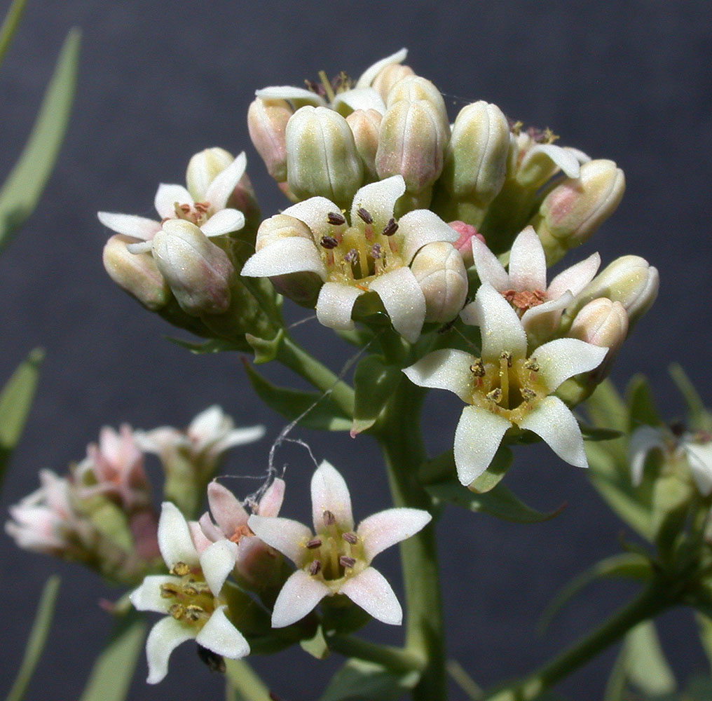
Top of large hill at the bottem end of Spring Canyon along Hwy 231 – Lincoln Co., WA – 4/24/2004 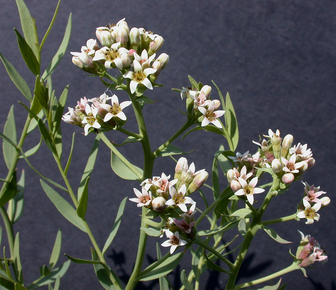
Top of large hill at the bottem end of Spring Canyon along Hwy 231 – Lincoln Co., WA – 4/24/2004 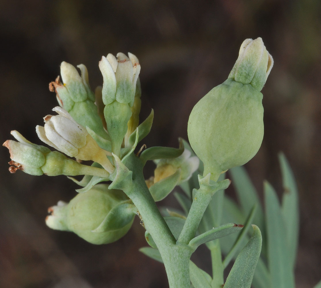
Juniper Dunes area; 300 yds S of 46 25 719N 118 49 534W – Franklin Co., WA – 5/28/2009 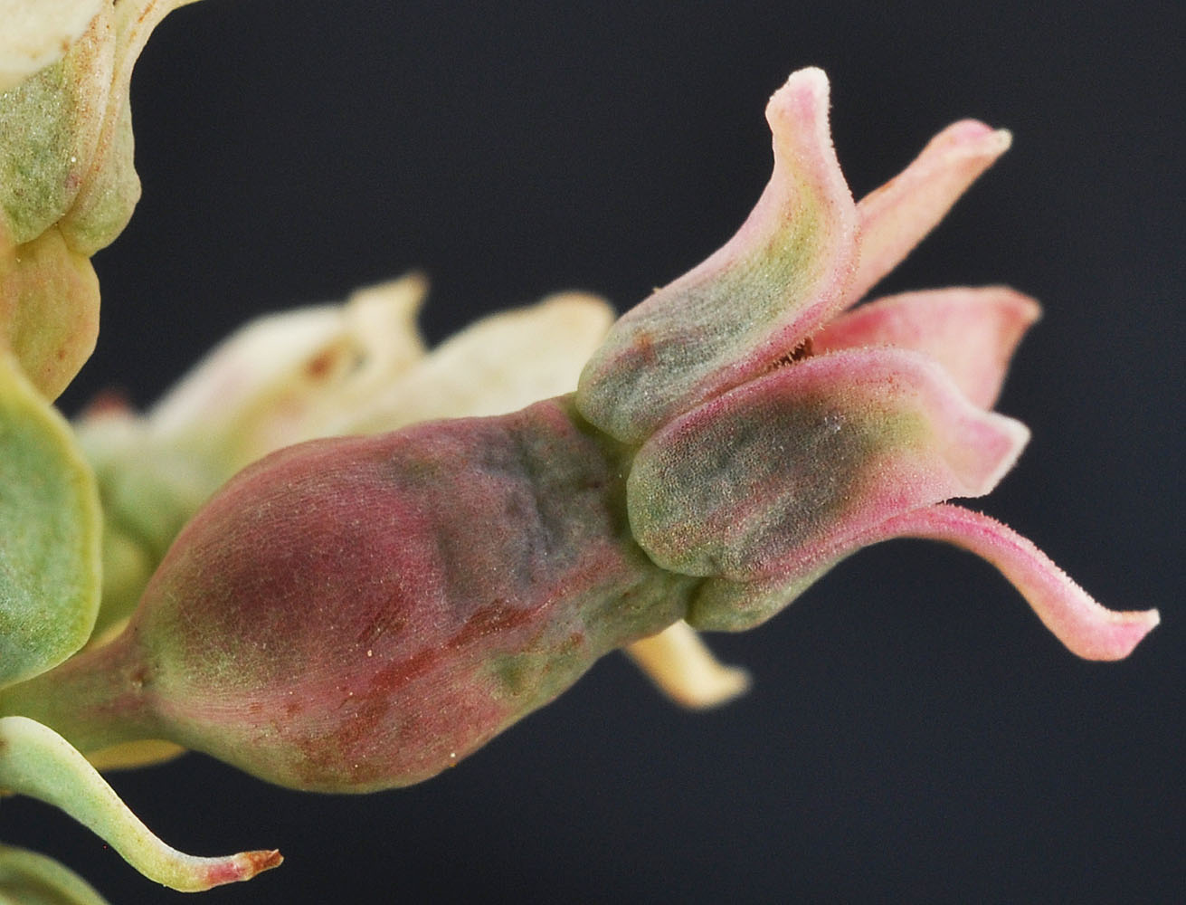
Along Hwy L-SW NW of Vernita Bridge on bluff above river; E of road; N 46.651246 W 119.742420 – Grant Co., WA – 5/29/2011 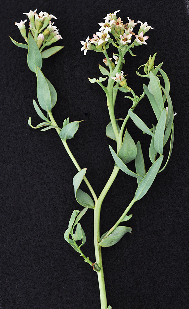
Ca. 250 yds above Hwy 14, ca. 4.16 air miles NW of the mouth of Rock Creek; N 45.73524 W 120.53448; Klickitat Co.; 5/4/2014 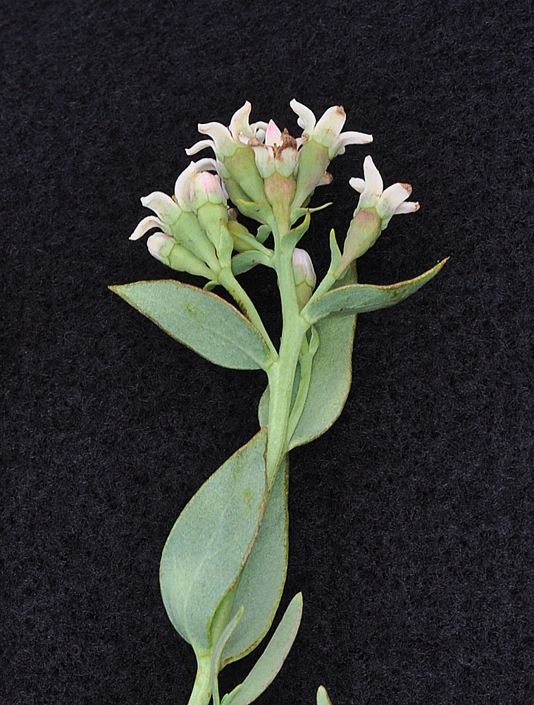
Ca. 250 yds above Hwy 14, ca. 4.16 air miles NW of the mouth of Rock Creek; N 45.73524 W 120.53448; Klickitat Co.; 5/4/2014 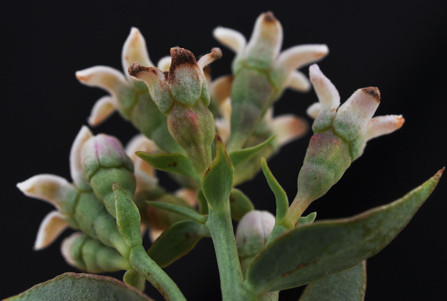
Ca. 250 yds above Hwy 14, ca. 4.16 air miles NW of the mouth of Rock Creek; N 45.73524 W 120.53448; Klickitat Co.; 5/4/2014 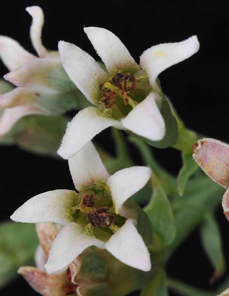
Ca. 250 yds above Hwy 14, ca. 4.16 air miles NW of the mouth of Rock Creek; N 45.73524 W 120.53448; Klickitat Co.; 5/4/2014 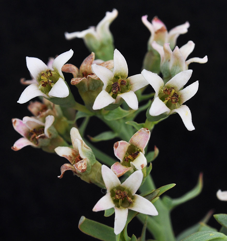
Ca. 250 yds above Hwy 14, ca. 4.16 air miles NW of the mouth of Rock Creek; N 45.73524 W 120.53448; Klickitat Co.; 5/4/2014 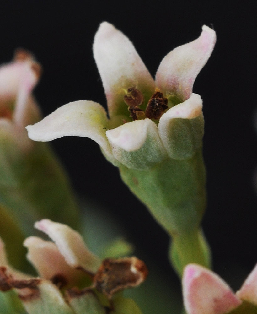
Ca. 250 yds above Hwy 14, ca. 4.16 air miles NW of the mouth of Rock Creek; N 45.73524 W 120.53448; Klickitat Co.; 5/4/2014 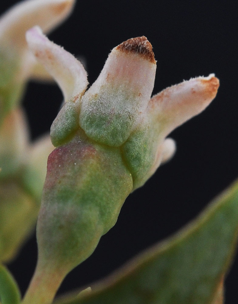
Ca. 250 yds above Hwy 14, ca. 4.16 air miles NW of the mouth of Rock Creek; N 45.73524 W 120.53448; Klickitat Co.; 5/4/2014


