| Scientific Name | Osmorhiza berteroi DC. |
| Family | Apiaceae |
| Common Names | mountain sweet-cicely, Chilean sweet-cicely |
| Eastern Washington | Native |
| Conservation Status | |
| Notes |
Click on any image to enlarge it.
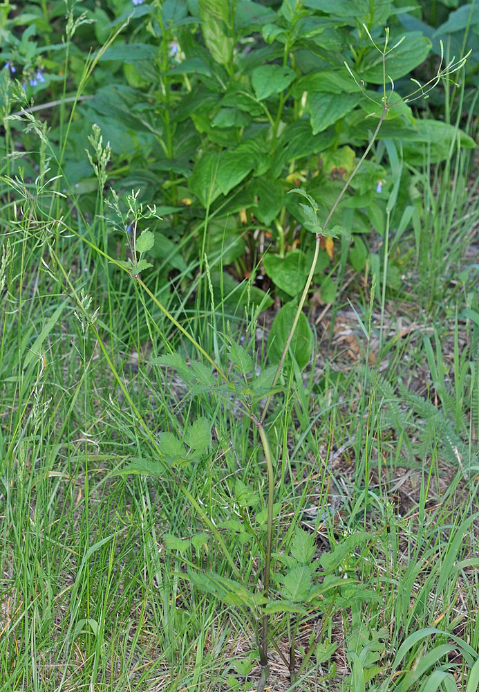
Mt. Spokane State Park, 4.0 mi N of entrance; 47.91177N 117.10855W – Spokane Co., WA 7/17/2010 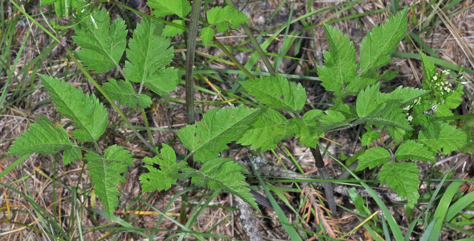
Mt. Spokane State Park, 4.0 mi N of entrance; 47.91177N 117.10855W – Spokane Co., WA 7/17/2010 
Mt. Spokane State Park, 4.0 mi N of entrance; 47.91177N 117.10855W – Spokane Co., WA 7/17/2010 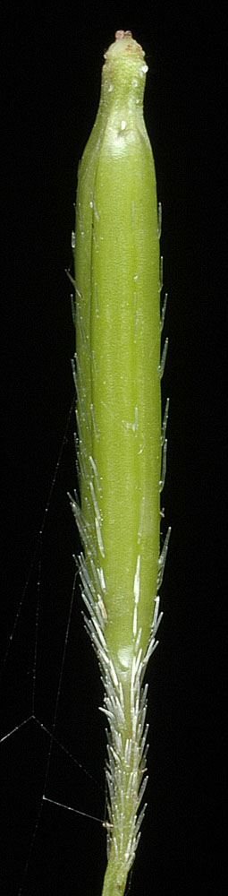
Along Sherman Creek near the jct of the N & S Forks W of Kettle Falls, WA – Ferry Co. – 7/2/2006 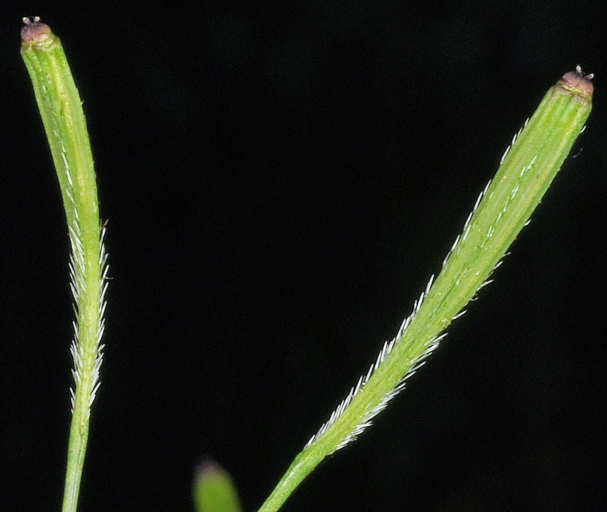
Mt. Spokane State Park, 4.0 mi N of entrance; 47.91177N 117.10855W – Spokane Co., WA 7/17/2010 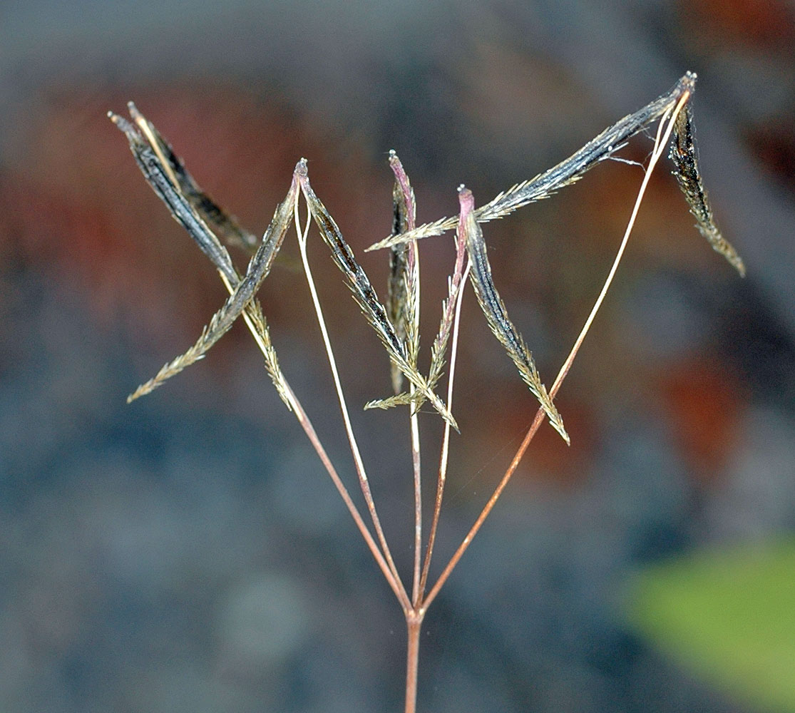
Along Sherman Creek near the jct of the N & S Forks W of Kettle Falls, WA – Ferry Co. – 8/26/2006 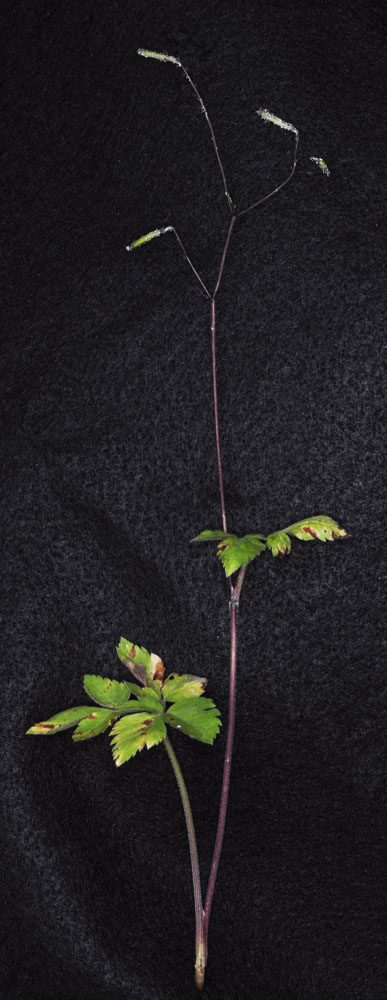
Near the top of Saddle Butte, ca. 3.45 air mi S and a little E of Mt Misery Campground; N 46.07218 W 117.46919; Asotin Co., WA; 7/31/2013 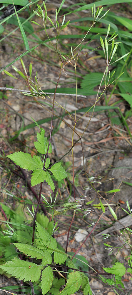
Along Sherman Creek near the jct of the N & S Forks W of Kettle Falls, WA – Ferry Co. – 7/2/2006 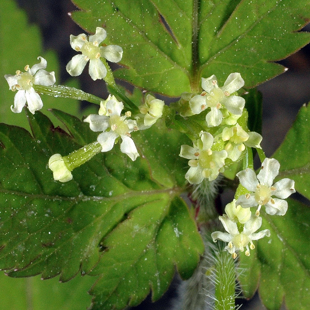
Along Sherman Creek near the jct of the N & S Forks W of Kettle Falls, WA – Ferry Co. – 7/2/2006 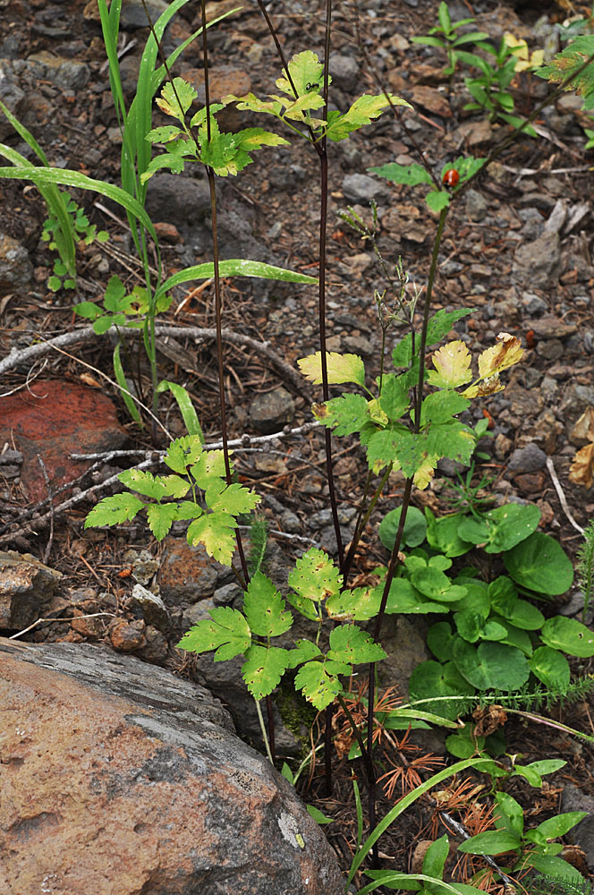
Near the top of Saddle Butte, ca. 3.45 air mi S and a little E of Mt Misery Campground; N 46.07218 W 117.46919; Asotin Co., WA; 7/31/2013 
Near the top of Saddle Butte, ca. 3.45 air mi S and a little E of Mt Misery Campground; N 46.07218 W 117.46919; Asotin Co., WA; 7/31/2013 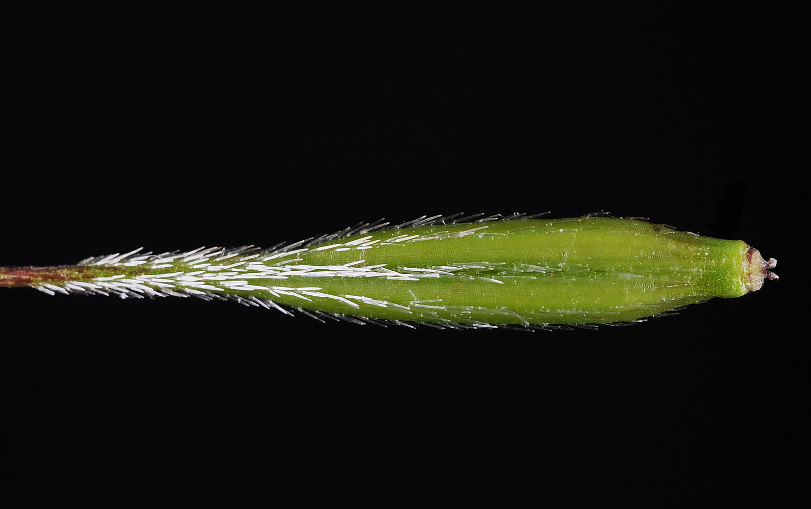
Near the top of Saddle Butte, ca. 3.45 air mi S and a little E of Mt Misery Campground; N 46.07218 W 117.46919; Asotin Co., WA; 7/31/2013 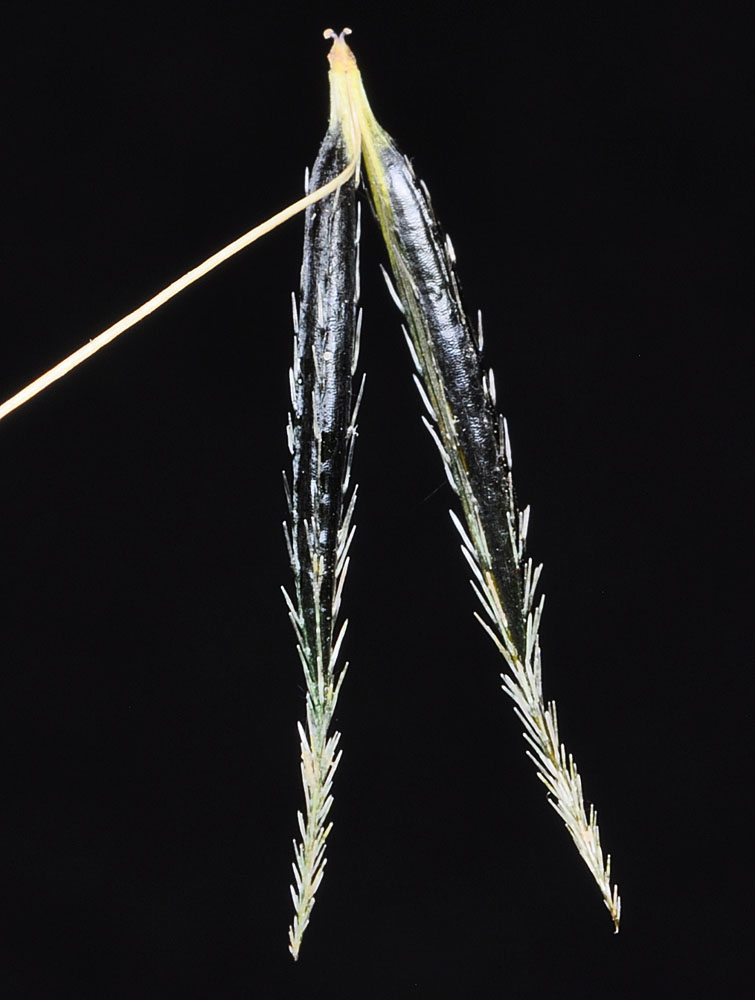
Ca. 15.5 mi SE of Dayton, WA along the N. Touchet Rd.; N 46.15411 W 117.80662; Columbia Co.; 7/22/2014 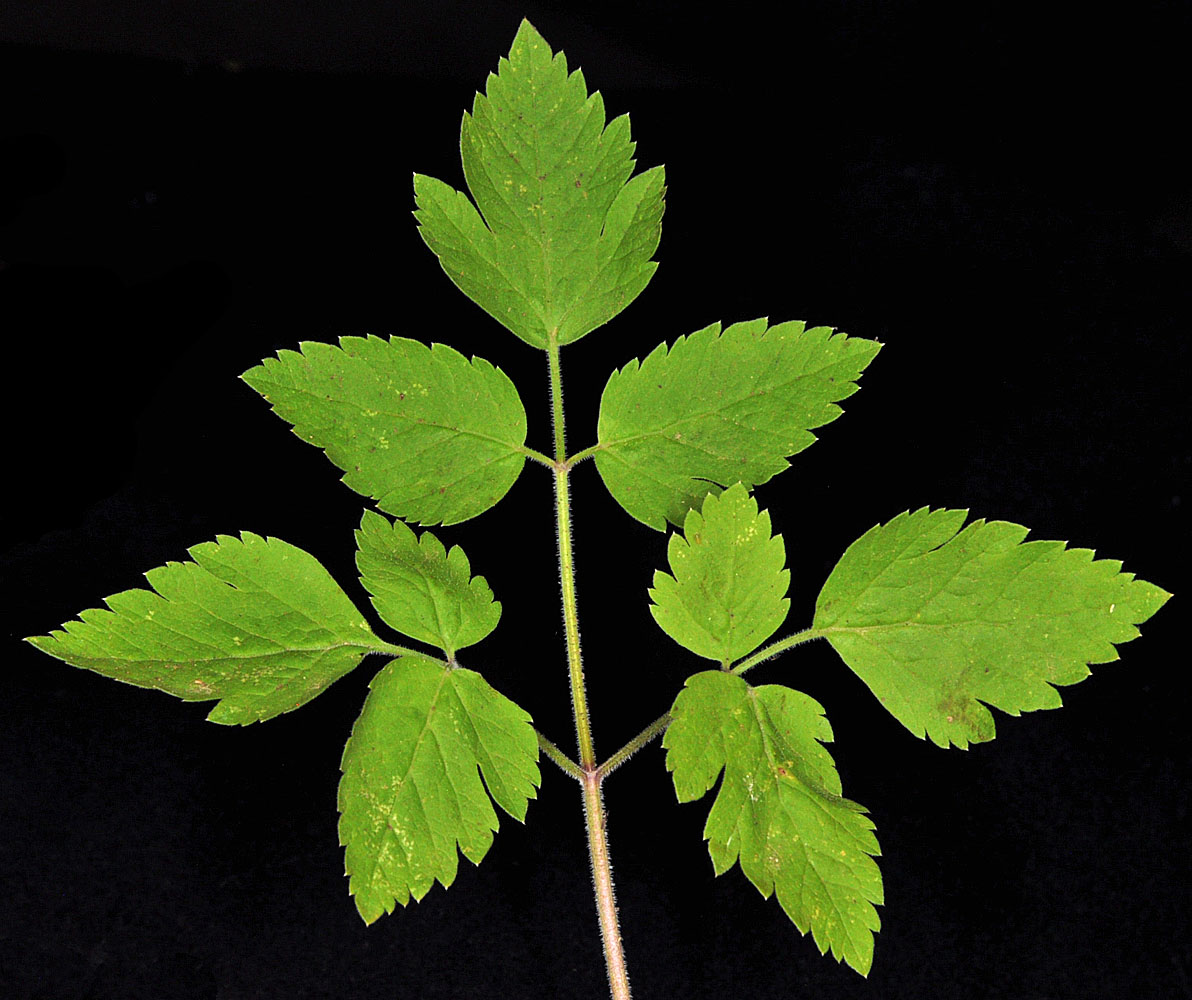
Ca. 15.5 mi SE of Dayton, WA along the N. Touchet Rd.; N 46.15411 W 117.80662; Columbia Co.; 7/22/2014


